Hello Friends,
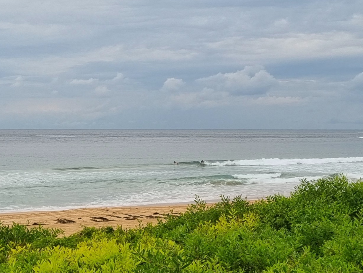
Swell power levels have bumped up this morning. The dominant direction was SE, the average height at sea was 2 metres and the average period was about 9 seconds. There was also some 11 second component so every now and then a quite distinct set would show in the generally sloppy conditions. A high tide (0800) was swamping it and the wind was out of the (baleful) ESE at 10-15 kts.
The weather is set to clear to partly cloudy later but the E-SE wind is set to stick around all day. However it may weaken as we get into the afternoon hours, so perhaps surface conditions will get a little less sloppy… we live in hope!
Outlook for tomorrow is back to smaller but with lighter onshores.
Go well with your Thursday and keep on smilin’
Weather Situation
A high centred near Tasmania is ridging along NSW coast and directing an onshore airstream. A trough lies in the Tasman Sea off the far northern coast. A frontal system and associated trough are likely to enter southwest NSW later on Friday before moving across the state over the weekend.
Forecast for Thursday until midnight
Winds
East to southeasterly 10 to 15 knots.
Seas
Below 1 metre.
Swell
Southerly 1.5 metres.
Friday 28 October
Winds
East to northeasterly 5 to 10 knots tending northeasterly 10 to 15 knots during the afternoon. Winds increasing to northeasterly 10 to 20 knots by early evening.
Seas
Below 1 metre increasing to 1 to 1.5 metres later in the evening.
Swell
Southeasterly 1.5 metres tending easterly from the morning.
Saturday 29 October
Winds
North to northeasterly 15 to 20 knots.
Seas
1 to 1.5 metres.
Swell
Easterly about 1.5 metres.

