
Hello Friends,
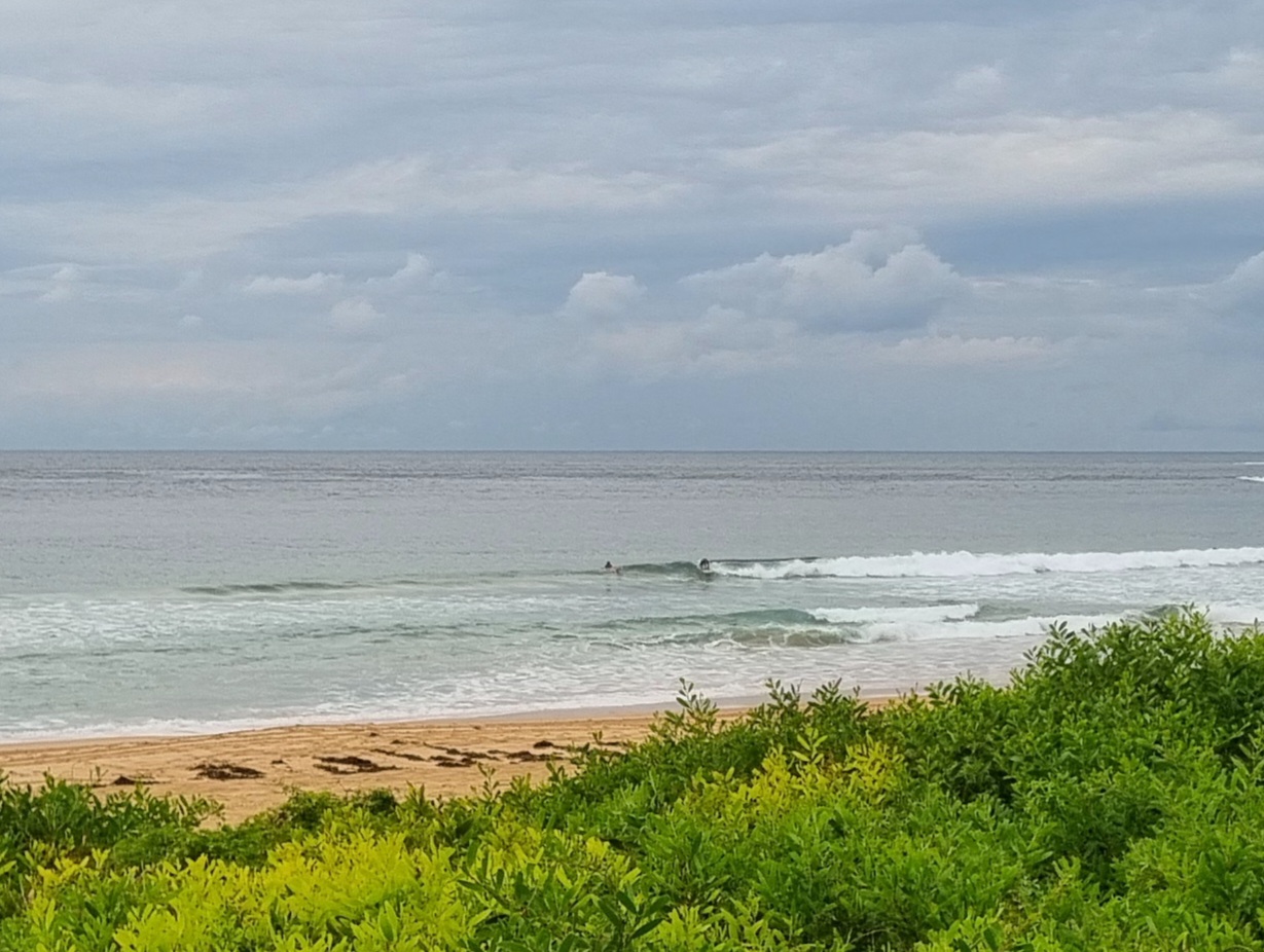
We’re looking mighty summery out there this morning. The beach at Dee Why is ablaze with fluttering flags of a surf carnival, rubber duckies are running in and out from the beach and a knot of surfers were doing their best with the knee to waist high sets.
Wind was light and out of the north at 0830. The Bureau says it’ll stay that direction and pick up to 10-20 kts later. Swell is south but only about a metre at 7 seconds, so it’s not likely to be much above the waist high mark anywhere in Sydney. There is some long period stuff in the mix, so maybe you could get lucky every now and again.
Tide’s low at 1115 or so this morning.
Outlook is for at least a week of this dribble according to the swell forecast model interpretations this morning.
Enjoy your Sunday one and all!
Forecast issued at 4:50 am EDT on Sunday 6 November 2011.
Weather Situation
A slow-moving high pressure system is located over the Tasman Sea. A trough is approaching NSW from the west, and will reach southern parts of the coast early on Monday. This trough slips to the southeast as the high pressure systems strengthens a ridge over the south again later Monday or on Tuesday morning. A stronger frontal system es expected to move northwards along the coast on Thursday.
Forecast for Sunday until midnight
- Winds
- Northeast to northwesterly 10 to 20 knots.
- Seas
- Up to 1.5 metres.
- Swell
- Southerly about 1.5 metres.
Monday 7 November
- Winds
- North to northwesterly 15 to 20 knots tending north to northeasterly 10 to 15 knots around midday.
- Seas
- Up to 2 metres.
- Swell
- Southerly about 1.5 metres.
- Weather
- The chance of thunderstorms until evening.
Tuesday 8 November
- Winds
- North to northeasterly 5 to 15 knots.
- Seas
- Below 1 metre.
- Swell
- Southerly 1 metre.

