Hello Friends,
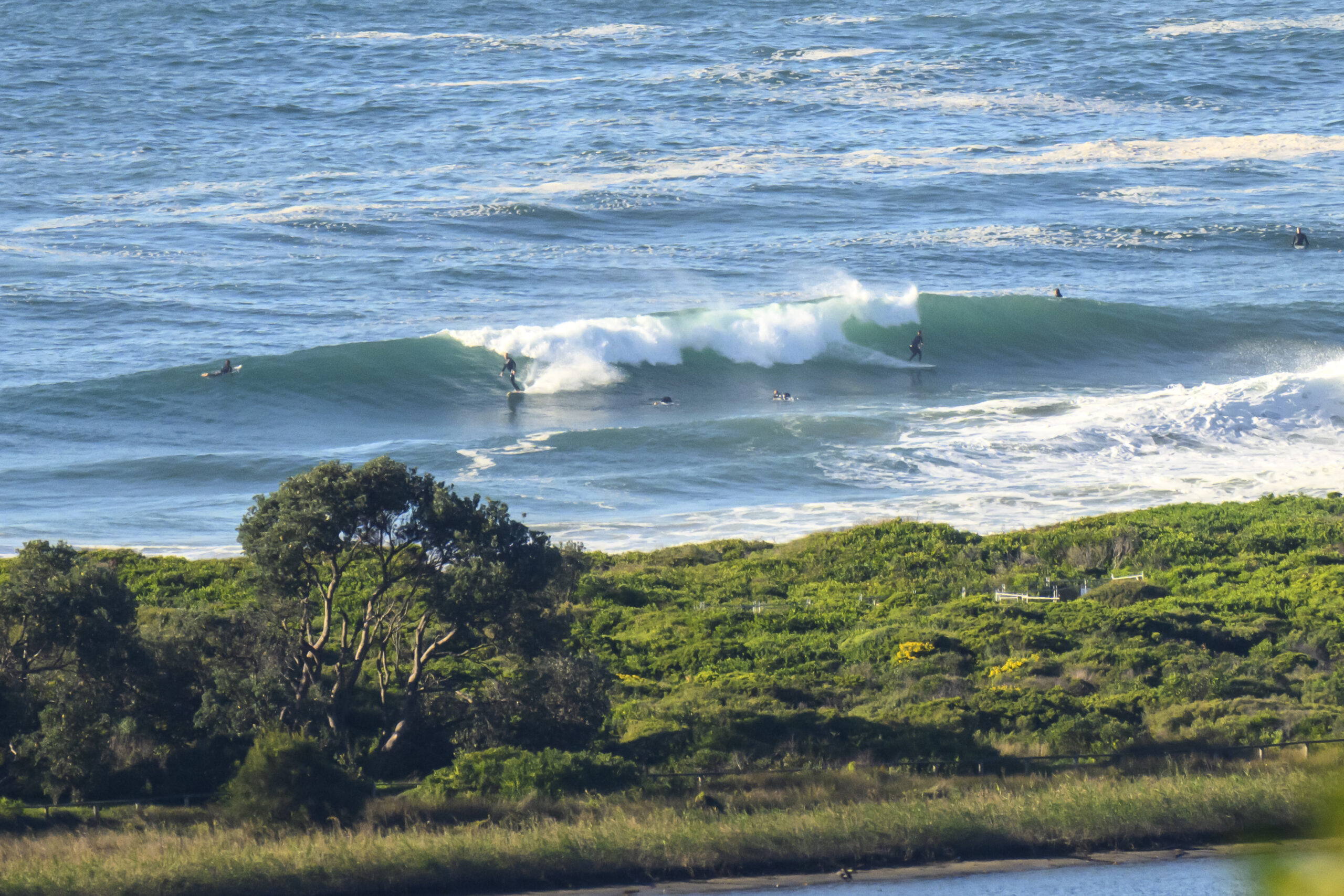
Good day to be off to work or school. Winds are light under mostly cloudy skies, and the swell is coming from the Se, but it’s struggling to be a metre at sea. Average period is an okay 9 seconds, but if Dee Why’s any guide, you’ll be doing well to find something in the waist high range.
Outlook for the next three days is not too promising. In fact, outlook for the next ten days is decidedly blah. Get the biggest, floatiest object in your surf arsenal because right now it’s looking like we won’t be seeing anything above waist high.
Oh well. Huey will be back eventually, so keep on smilin’ and have yourself a great day.
Weather Situation
A slow-moving high pressure system is located over the Tasman Sea. A trough lies from northwest NSW through to southern parts of the coast. This trough slips to the southeast as the high pressure system strengthens a ridge over the south again later Monday or on Tuesday morning. A stronger frontal system is expected to move northwards along the coast on Thursday.
Forecast for Monday until midnight
Winds
Northeast to northwesterly 5 to 15 knots tending east to northeasterly 10 to 15 knots during the afternoon.
Seas
Below 1 metre.
Swell
Southeasterly 1.5 metres tending easterly about 1.5 metres during the evening.
Weather
Isolated thunderstorms.
Tuesday 8 November
Winds
Northeasterly 5 to 15 knots.
Seas
Below 1 metre.
Swell
Easterly 1 metre.
Weather
Isolated thunderstorms.
Wednesday 9 November
Winds
North to northeasterly 5 to 15 knots becoming northerly 15 to 20 knots duri
ng the evening.
Seas
Below 1 metre increasing to 1 to 1.5 metres during the evening.
Swell
Northeasterly about 1.5 metres.

