Hello Friends,
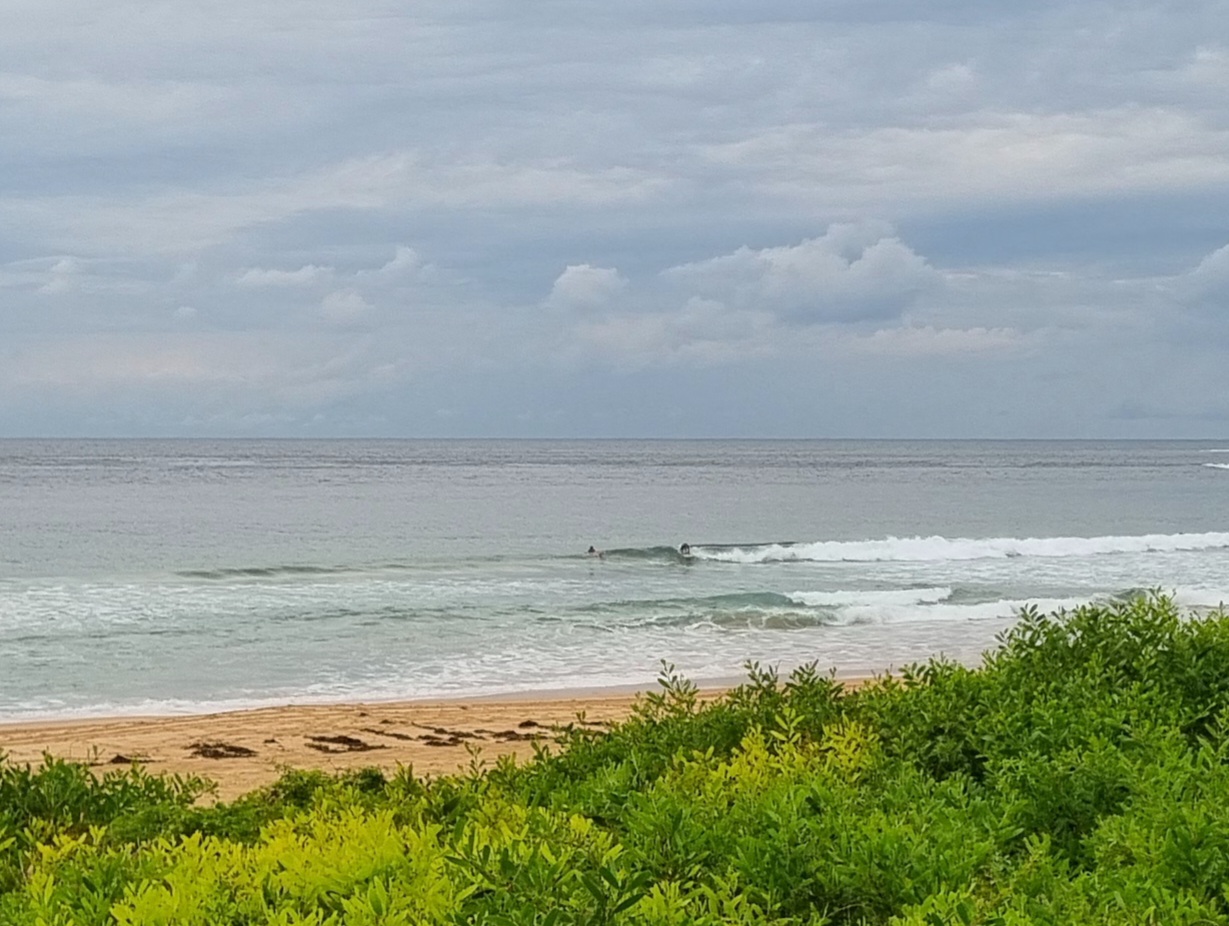
15-20 kts of SE wind knocking the 2 metre 7 second period SE swell about in the way you’d expect. Dee Why looking very junky and messy – but not flat. As usual this summer, the forecast is calling for a shower or two and cloudy skies. On the good side, the MHL Sydney buoy is showing our offshore sea surface temp is now 24C.
Tide was high at 0720 and will hit low at 1400.
This morning’s swell modelling is calling for the waves to push up across the next 24 hours, but we’re going to be confined to spots that can deal with SE wind in the morning, before it all falls apart as the wind comes around to the east to line up with the wind swell direction.
The rest of the week is looking like being basically onshore and junky, but not going flat.
Have yourself a top old Sunday everybody!

MARINE FORECAST FOR SYDNEY REGION
Weather Situation
A high pressure over the southwestern Tasman Sea is extending a ridge to New South Wales north coast. During Tuesday and Wednesday the high will move slowly towards New Zealand and a low low pressure trough is expected to develop off the north coast.
Forecast for Sunday until midnight
Winds
South to southeasterly 15 to 25 knots.
Seas
1.5 to 2 metres.
Swell
Southeasterly about 1.5 metres.
Monday 23 January
Winds
Southeasterly 15 to 20 knots turning easterly during the afternoon.
Seas
1 to 1.5 metres.
Swell
Easterly 2 metres.
Tuesday 24 January
Winds
Easterly 10 to 15 knots turning northeasterly during the afternoon.
Seas
Up to 1.5 metres.
Swell
Easterly 1.5 metres.
Weather
The chance of thunderstorms offshore during the evening.

