Hello Friends,
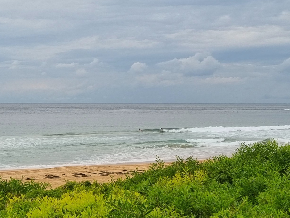
Swell was still happening this morning. The settings are not much changed from yesterday. It’s still east at a couple metres, but the period has bumped up a touch to 11 seconds. Wind was light early, but the southerly was already chewing into spots south of Sydney as of 0700, so it’ll be here before much longer.
Tide hit high at 0700 and will be back to low at 1340.
It looks as though this is the peak of the swell energy for us this week, but then again, the swell model riffing this morning generally points to a steady supply of surfable size conditions – but with so-so to ordinary wind settings.
Gotta run to see if I can get a snap or two before it all goes pear-shaped and the dull grey skies return…
Weather Situation
A trough bringing a southerly change to the southern and central coasts this morning is linked to a low pressure system south of Tasman, while a second low lies over the central Tasman Sea. The trough is expected to remain over the northeast of the state during the next few days, while a slow-moving high near Western Australia extends a ridge to the east. Later in the week the trough is expected to deepen and move west.
Forecast for Monday until midnight
Winds
North to northwesterly 5 to 10 knots shifting southerly 20 to 30 knots in the morning then tending south to southeasterly 15 to 25 knots in the afternoon.
Seas
Up to 1.5 metres increasing up to 3 metres by midday.
Swell
Easterly 2 metres.
Tuesday 7 February
Winds
Southerly 15 to 20 knots turning southeasterly during the evening.
Seas
1 to 2 metres.
Swell
Easterly 1.5 to 3 metres.
Wednesday 8 February
Winds
South to southeasterly 10 to 15 knots.
Seas
1 to 1.5 metres.
Swell
Easterly 1.5 metres.

