Hello Friends,
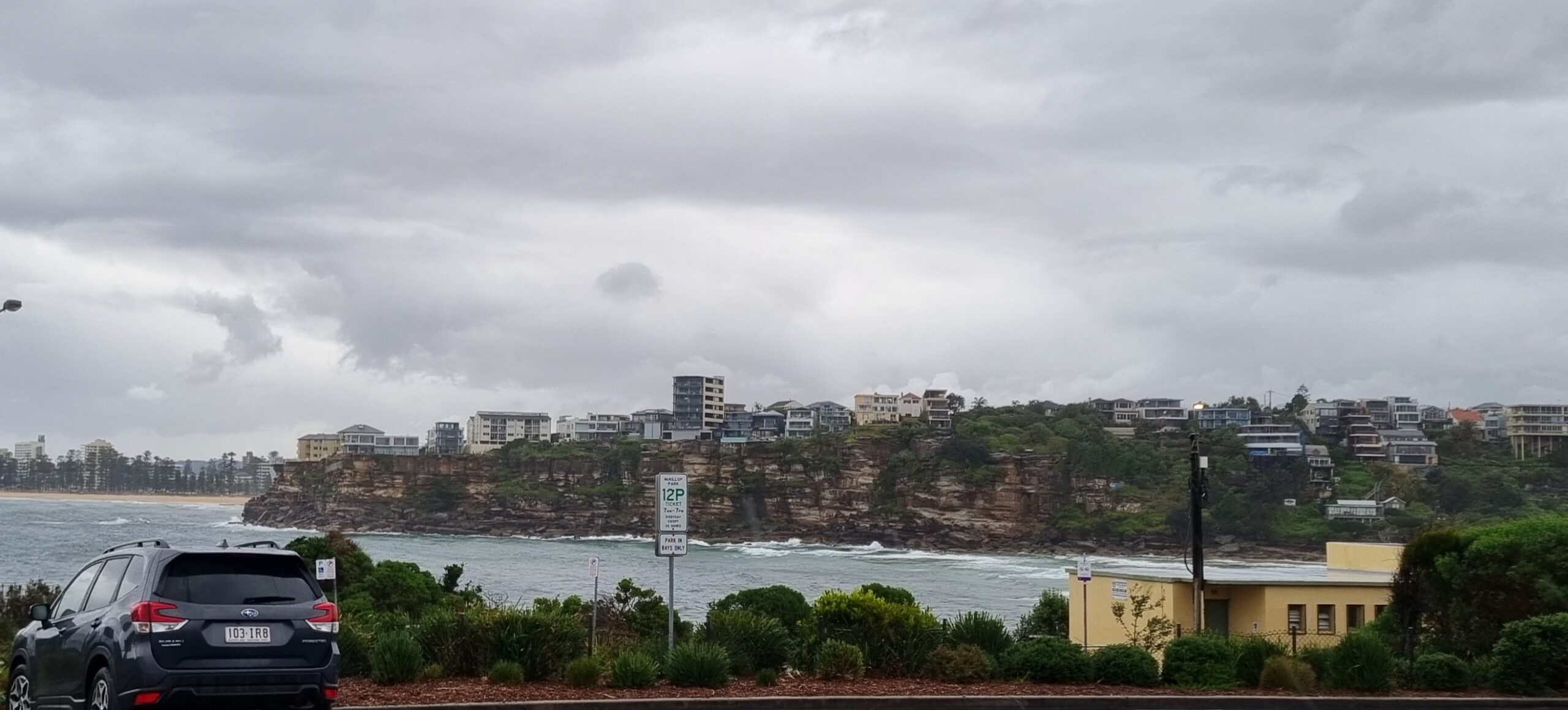
What can you say? We’re back to this summer’s pattern of unseasonably cool conditions, cloudy skies and unrelenting south to SE winds. As I tapped out these words, the swell was coming from the SE at close to three metres with an average period of 9 seconds (some 12 sec stuff in the mix too). But the wind was out of the SSE from 15-20 kts across most of Sydney. To the extent it matters, high tide was at 0740 and low will be around 1415.
The Bureau says we’re in for a shower or two through the day. And guess what? That’s pretty much the forecast for the next week. If this goes on much longer, we’ll all come down with Seasonal Affective Disorder.
If you’re super keen, you should be able to find something in the protected south corners. But the more east in that wind, the more junk even in those places.
Ah well, this too will pass friends. Have yourself a good Tuesday!
Weather Situation
A low pressure trough lies across the western Tasman Sea. The trough will move east during Wednesday and Thursday as a high pressure system moves south of The Bight extending a ridge to New South Wales north coast.
Forecast for Tuesday until midnight
Winds
South to southeasterly 15 to 20 knots.
Seas
1 to 1.5 metres.
Swell
Easterly about 2 metres.
Wednesday 8 February
Winds
Southeasterly 10 to 15 knots.
Seas
Below 1 metre.
Swell
Easterly 1.5 metres.
Thursday 9 February
Winds
East to southeasterly 10 to 15 knots becoming easterly 15 to 20 knots during the evening.
Seas
Below 1 metre.
Swell
Southeasterly 1.5 metres.


