Hello Friends,
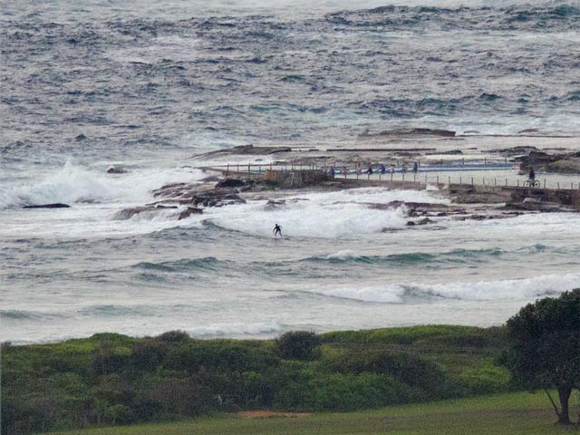
This morning is very much in line with expectations. Wind was light and easterly from early and it’s going to pick up into the 15-20 kt range later, so we’re not going to see any improvement. Swell is still out of the SE at a couple metres and 9 seconds apart. That’d be good if the wind was offshore, but with an easterly… on to other things I’d say.
For the record, first high tide is at 0905 or so and the low will be along at 1530.
Cloudy and isolated showers for today says the Bureau.
The swell forecast modelling for our part of the world is basically pointing to another 4 or 5 days of mainly east wind swell and east to south wind. And the longest range forecasts are currently showing small and onshore for another ten days. No prospect apparently of that Coral Sea cyclone doing us any good this far down the east coast either.
Oh well, keep on smilin’ sez I, Huey will return again one day.
Weather Situation
A low pressure trough over inland New South Wales is expected to deepen during Thursday and Friday as a high pressure system south of Bight extends a ridge towards the Tasman Sea. On Friday another trough is expected to develop just off the coast, with a low possibly developing near the south coast during the weekend.
Forecast for Thursday until midnight
- Winds
- Easterly 15 to 20 knots.
- Seas
- 1 to 1.5 metres.
- Swell
- Southeasterly about 2 metres.
Friday 10 February
- Winds
- Easterly 10 to 15 knots.
- Seas
- Below 1 metre.
- Swell
- Southeasterly about 1.5 metres.
Saturday 11 February
- Winds
-
East to northeasterly 10 to 15 knots tending northwest to southwesterly 5 to 10 knots during the morning then tending northwest to northeasterly during the evening.
- Seas
-
Below 1 metre.
- Swell
-
Southeasterly 1 metre tending easterly from midday.
- Weather
-
The chance of thunderstorms offshore, extending throughout from the morning.

