Hello Friends,
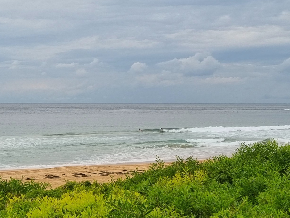
One of those murky, drizzly mornings we’ve come to expect from this summer. Swell is about a metre and a half from the SSE at about 9 seconds. So, it’s not flat. Wind is light from the SSW as I write this around 0830, but the forecast tells us it’ll be onshore from the SE soon and later it’s set to go east. Not the greatest.
So, another partly cloudy, occasionally showery day with onshores and waves in the waist high range.
Tide was low at 0720 and the high will be at 1315.
Outlook is for things to bumble along like this through tomorrow, then fade to near flatness toward the end of the week before possibly perking up a bit for late in the weekend.
Have yourself a good one!
Weather Situation
A broad trough over NSW and a weak ridge over southwestern Tasman Sea combine to direct onshore airstream along NSW coast. Onshore winds will persist for the next few days as the ridge gradually strengthens over the coast. Another trough is expected to intensify over the west of the state during Wednesday and Thursday with winds freshening over the southern and central parts. The trough may start moving eastward slowly and reach the South Coast later on Friday with associated southerlies extending to the central parts on Saturday.
Forecast for Tuesday until midnight
Winds
South to southeasterly 5 to 10 knots turning easterly 10 to 15 knots during the afternoon and evening.
Seas
Below 1 metre.
Swell
Southeasterly about 1 metre.
Wednesday 15 February
Winds
Easterly 10 to 15 knots.
Seas
Below 1 metre.
Swell
Southeasterly 1 metre.
Thursday 16 February
Winds
Northeasterly 15 to 20 knots.
Seas
1 to 1.5 metres.
Swell
Southeasterly about 1 metre.

