Hello Friends,
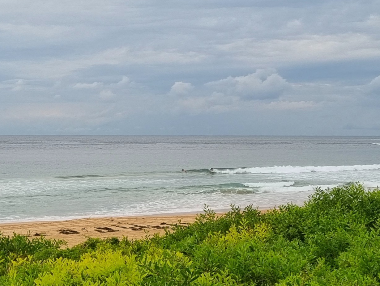
Light E to NEly breezes to start the day along the beaches of Sydney. That did no favours for the weak 8 second period, 1.5 metre SE wind swell that greeted early risers. The wind’ll pick up a bit more later, so your best shot at a wave will be in the protected north corners where there could be the odd little waist to chest high bomb set.
Tide’ll be low at 0840 and then it’ll only go up a touch to the high at 1430.
Not the best outlook for us on this morning’s run of the swell forecast models. With the usual minor variations, all the interpretations are pointing toward at least a week of weakness ahead. Basically, they’re all saying that this is as big as it gets for the next week to 10 days in Sydney.
Oh well. What can ya do, eh?
You could keep on smilin’ because we’re all a day closer to our next magic go-out!
Weather Situation
A broad trough over inland NSW and a weak ridge over the coast combine to direct onshore airstream along NSW coast. Onshore winds will persist for the next few days as the pattern remain slow moving. The trough will gradually deepen by the end of the week with winds freshening over the southern parts. A cold front passing in the southern Tasman Sea may bring a weak southerly change in the south on Saturday.
Forecast for Wednesday until midnight
Winds
Easterly 10 to 15 knots turning northeasterly in the afternoon.
Seas
Below 1 metre.
Swell
Southeasterly 1 metre.
Thursday 16 February
Winds
Northeasterly 15 to 20 knots.
Seas
Below 1 metre increasing to 1 to 1.5 metres by early evening.
Swell
Southeasterly about 1 metre.
Friday 17 February
Winds
North to northeasterly 15 to 20 knots.
Seas
1 to 1.5 metres.
Swell
Easterly 1 metre.
Weather
The chance of thunderstorms from midday.

