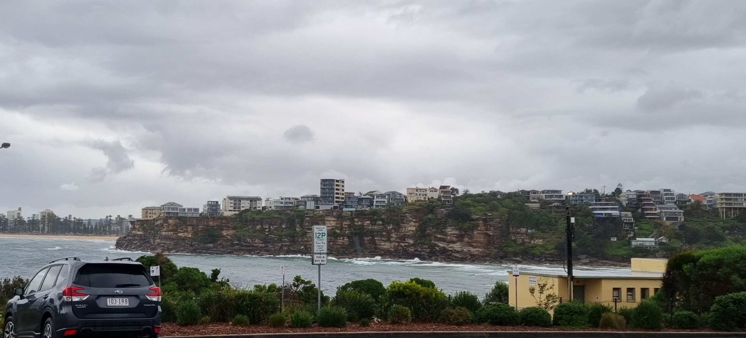
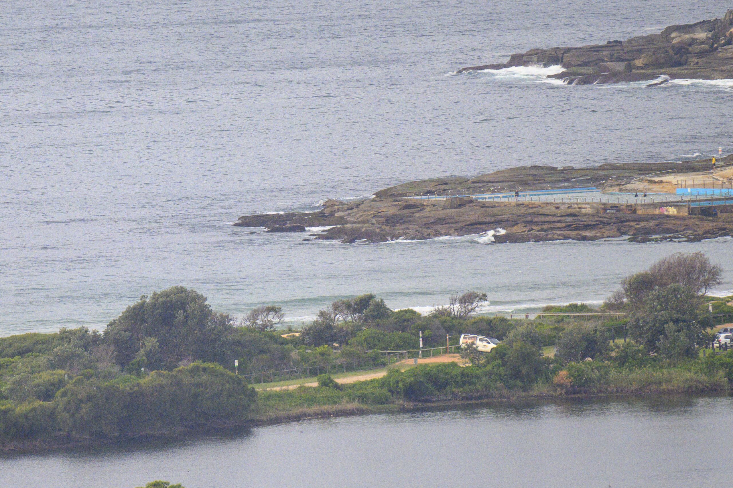
UPDATE: Swell is firing up big time at Dee Why


Hello Friends,
Wind was light westerly to begin the day and swell was 3.5 metres at 10 seconds out of the SSE – and there were waves at Dee Why for the largeish crew sitting in the pouring rain. I watched for some time and it seemed to be something of a wait for catchable ones to come through at the point. The beach was more consistent, but I didn’t see anyone chasing what looked to be pretty solid sets. Wave faces at the point ranged from chest high to 1.5x overhead. But I wouldn’t be surprised if it got bigger as the day went along.
Outlook is for the wind to go S-SW and to pick up significantly into the 30-40 kt range at times. But, as the day goes on, the rain should let up and the wind is set to go around to the west and NW. Could be an interesting afternoon at south swell spots.
The models are showing the swell peaking in the middle part of the day and then dropping off thereafter. With luck, the energy will stick around for tomorrow morning and we’ll have clearing skies with reasonable wind conditions.
The weekend looks like being a case of gradually decreasing energy levels as we head into another period of small conditions next week.
Have yourself a good one!
Tides: H @0900, L @1520
Sydney area forecast
Cloudy. Rain, heavy at times, easing to isolated showers around the middle of the day, then clearing later in the afternoon. The chance of thunderstorms until late afternoon. Winds southwesterly averaging up to 50 km/h tending west to northwesterly up to 30 km/h by early evening.
Marine Weather Situation
Deepening low over the central Tasman Sea is expected to move towards the southern NSW coast early today as a strong high pressure ridge persists over the Southern Tasman. The low will move slowly to the south late today and Friday then away to the east over the weekend as a high pressure ridge develops over NSW.
Forecast for Thursday until midnight
Winds
South to southwesterly 20 to 30 knots, reaching 35 to 40 knots at times, tending northwest to southwesterly up to 30 knots during the morning then tending west to northwesterly 15 to 25 knots later in the evening.
Seas
Up to 3 metres.
Swell
Southeasterly 2 to 3 metres.
Weather
The chance of thunderstorms from this morning until late afternoon. Large swells breaking dangerously close inshore.
Friday 9 March
Winds
West to northwesterly 10 to 15 knots turning southwesterly during the day.
Seas
Up to 1.5 metres.
Swell
Easterly about 2 metres.
Saturday 10 March
Winds
Southwesterly 15 to 20 knots tending southerly during the morning.
Seas
Up to 1.5 metres increasing to 2 metres during the morning.
Swell
Easterly 1.5 to 3 metres.
© Copyright Commonwealth of Australia 2012, Bureau of Meteorology


