

Hello Friends,
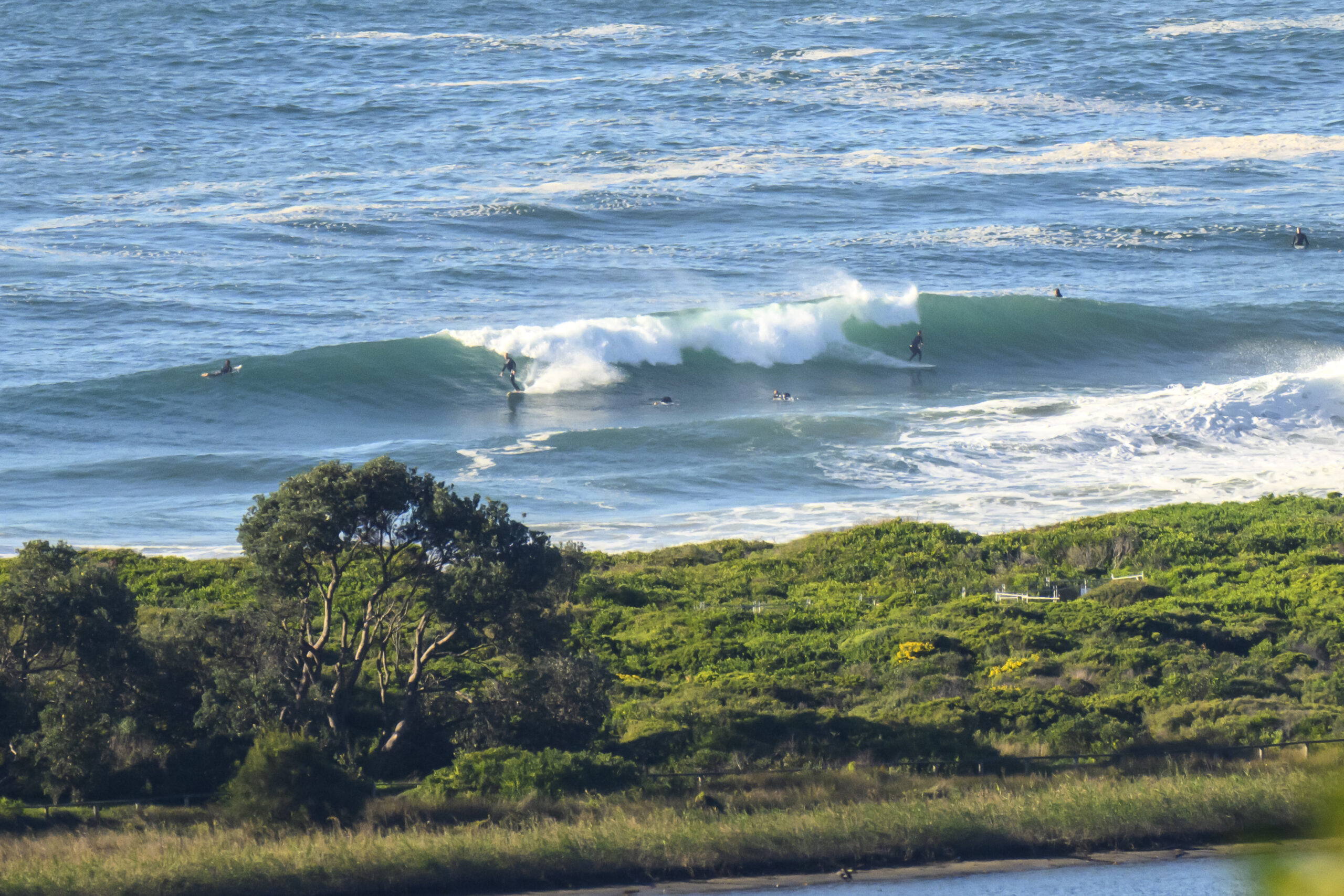
Lookin’ like a top morning to get to your fave SE spot and jostle with everybody else for a wave. There are still a few juicy sets in the mix, but it’s definitely dropped overnight and with south wind due around midday, the conditions won’t last long.
Swell was still a couple metres from the SE at 9 seconds apart when the day began. With luck that will hold until it gets hacked up by the southerly by lunchtime.
Outlook for tomorrow is to maybe have a little energy left, but thereafter it’s looking paltry according to this morning’s collection of swell modelling.
So enjoy, but take it easy too eh? Everybody else has been hanging out as well!
TIDES: H @1030 L @1640
Weather Situation
Sydney area
Sunny morning, apart from early fog patches in the west. The chance of a light shower in the early afternoon. Light winds tending south to southeasterly up to 30 km/h around midday.
A high pressure system south of the Bight extends a ridge across New South Wales, while a low pressure system over the Tasman Sea moves further east. This high will be the dominant synoptic feature during the next few days as it moves slowly east, maintaining a relatively dry and stable air mass over the region.
Forecast for Saturday until midnight
Winds
South to southwesterly 5 to 15 knots, tending southerly 15 to 20 knots around the middle of the day, then easing to 10 to 15 knots in the evening.
Seas
Below 1 metre increasing to 1 to 1.5 metres by evening.
Swell
Easterly around 2 metres.
Sunday 11 March
Winds
South to southeasterly 10 to 15 knots turning east to northeasterly 5 to 10 knots in the afternoon.
Seas
Below 1 metre.
Swell
Southeasterly 1.5 to 2 metres.
Monday 12 March
Winds
East to northeasterly 5 to 10 knots.
Seas
Below 1 metre.
Swell
Southeasterly about 1.5 metres.

