Hello Friends,
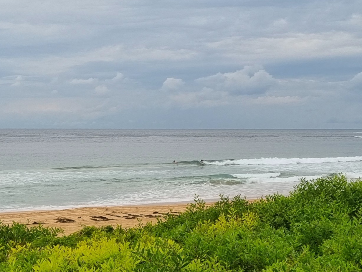
We seem to have little waves this morning at Dee Why. Nothing spectacular but the MHL buoy is showing 7-8sec south wind swell at a couple metres, so there are sets into the chest high range (although mostly it’s a lot smaller). There wasn’t enough energy to get the point going, but up the beach there seemed to be a few peaks. Next tide is a low at around 1245.
As of 0845 the wind was out of the SW at around 10 kts. The Bureau tells us that it’ll go around to the SE late this afternoon.
So, not spectacular but not hopeless either. And that’s a good thing.
The week ahead is currently looking so-so with the possibility of something worthwhile from around Weds to Friday as we get an extended period of east to ESE swell filling in.
Go well with your Sunday!
Weather Situation
A high centred near Victoria maintains a strengthening ridge over most of New South Wales. The ridge will linger over the state early next week as the high moves across the southern Tasman Sea and onshore airstream develops along the coast. A trough is expected to move through the state during Wednesday, bringing late southerly change.
Forecast for Sunday until midnight
Winds
Southerly 15 to 20 knots turning southeasterly in the late afternoon.
Seas
1.5 to 2 metres.
Swell
Easterly 1.5 metres.
Monday 19 March
Winds
Southeasterly 15 to 20 knots tending east to southeasterly 10 to 15 knots during the afternoon.
Seas
1 to 2 metres.
Swell
Easterly about 2 metres.
Tuesday 20 March
Winds
East to northeasterly 10 to 15 knots.
Seas
Below 1 metre increasing to 1 to 1.5 metres during the afternoon.
Swell
Easterly 2 metres.

