Hello Friends,
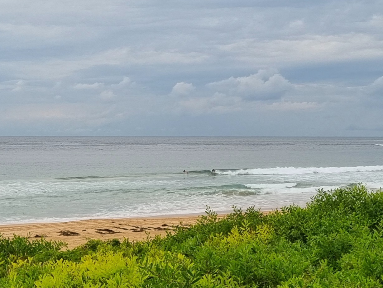
A day to get on with other aspects of life I’d say. Sunny morning, true, but wind is lightly onshore and, worse, the SE swell is a sputtery 8 second thing with an average height at sea only a touch above the metre mark. I didn’t see anyone in the water at Dee Why when I checked it for the first time today.
From the shape of this morning’s forecasts, it would seem we’re in for at least three more days of this stuff in Sydney. The wind is generally supposed to come around to the NE, so there could be a little something in north corners if you’re desperate.
Looking ahead, this morning’s run of the swell models indicates we’re probably only going to see a small improvement toward the end of the week when we could get a period of generally east wind swell.
Go well with your day one and all!
TIDES: H @1125 L @1715
Weather Situation
A high pressure system south of the Bight is directing cool south to southeasterly winds over much of the state. As this high moves into the Tasman Sea on Monday, winds will turn southeast to northeasterly during the day with northwest to southwest landbreezes likely overnight. A weak south to southwest change is expected on the Far South Coast on Tuesday, and during the middle to latter half of the week southeasterly winds along most of the coast are expected to freshen in response to an upper disturbance moving over the state.
Forecast for Monday until midnight
Winds
East to northeasterly 10 to 15 knots.
Seas
Below 1 metre.
Swell
Southerly 1.5 metres.
Tuesday 27 March
Winds
Northeasterly 10 to 15 knots.
Seas
Below 1 metre.
Swell
Southerly 1.5 metres.
Wednesday 28 March
Winds
Northeasterly 10 to 15 knots.
Seas
Below 1 metre.
Swell
Southeasterly 1.5 metres.

