Hello Friends,
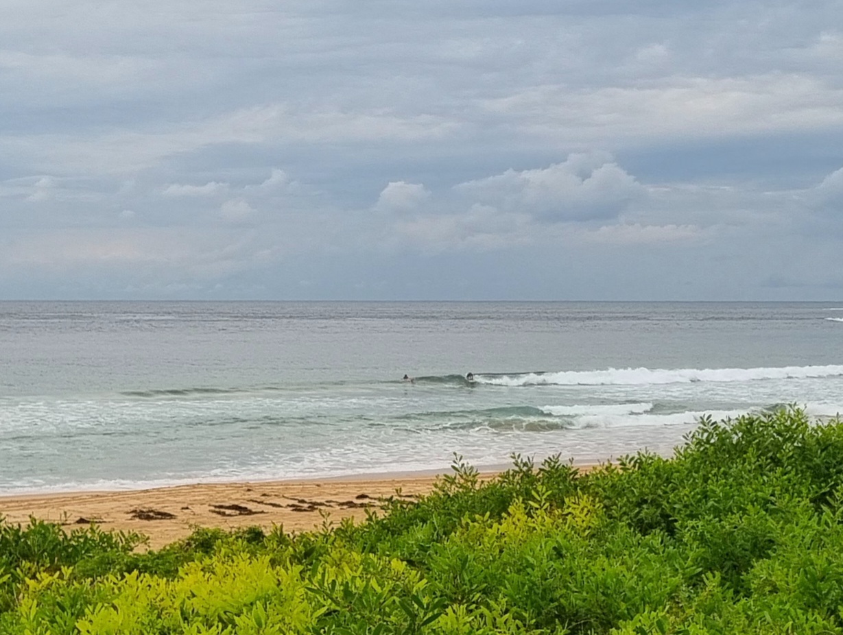
Waist high waves were on offer for early risers at Dee Why this morning. And Sydney style cold too. Wind was out of the SW to WSW, so the surface conditions looked pretty good. Tide was low at 0500 and will hit the high at 1100. This morning’s marine forecast tells us that the wind should let up slightly as the day goes along. But it’s not going to glass off.
Surf outlook isn’t too special. Along with another three days of southerly winds, it looks from this morning’s swell forecast modelling efforts as though it won’t get much above waist high. It looks to me as though a strong high will be deflecting away the bulk of any swell coming out of the southern ocean.
Have yourself a top old day!
Weather Situation
A cold front crossed the southern and central coast yesterday and overnight and will move along the northern NSW coast this morning with a strong southerly change associated. Winds will remain vigorous southerly along the whole coast today as a strong high south of the Bight extends a ridge to western NSW. The high will move slowly east over the next few days with winds gradually easing along the NSW coast.
Forecast for Tuesday until midnight
Winds
South to southwesterly 25 to 35 knots, easing to 20 to 30 knots later.
Seas
3 to 4 metres.
Swell
Easterly 1.5 metres.
Weather
Isolated thunderstorms this morning.
Wednesday 11 April
Winds
Southerly 20 to 30 knots decreasing to 15 to 25 knots during the morning.
Seas
3 metres decreasing to 2 metres during the morning.
Swell
Southeasterly 1.5 metres.
Thursday 12 April
Winds
Southerly 10 to 20 knots decreasing to variable below 10 knots during the afternoon.
Seas
Up to 1.5 metres decreasing to below 1 metre during the evening.
Swell
Southerly about 1.5 metres.

