Midday update:

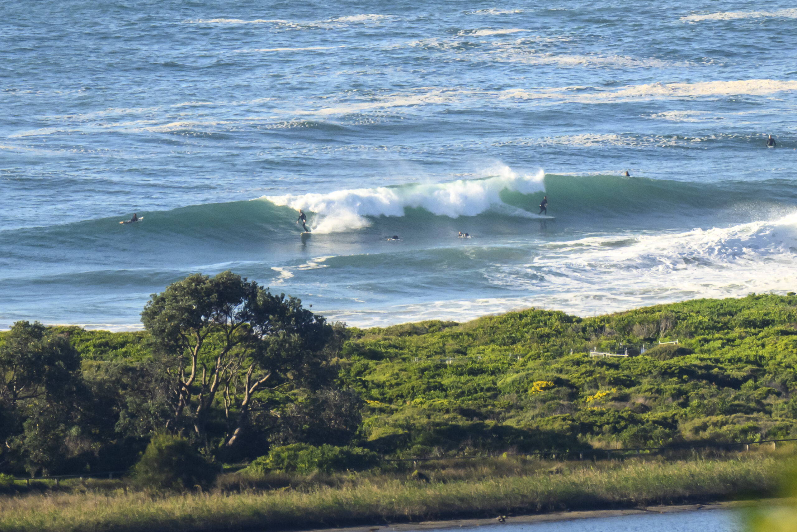
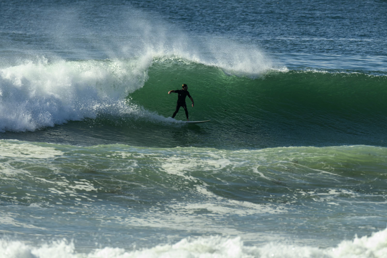
Went for a splash at the point this morning. Pretty busy but the swell was getting in and there were some fun set waves to be had if you were in the right spot. Biggest ones were head high or so. Wind started to pick up from the south a little before noon and that began to junk up the surface conditions. Still, can’t complain. Got a few nice ones myself and had fun watching others get even better ones.


Hello Friends,
A southerly day coming our way, but for the early risers there were west to SW winds so it was looking pretty tidy. Tide was low at 0730 and will hit high around 1345. The banks at Dee Why and south Narrabeen are not too flash it has to be said. The latter were virtually all shutdowns whils the former saw a shutdown frequency in the 80-90 percent range. So, lots of quick takeoffs followed a second or two later with a kick out. The swell looks to be going past the point at Dee Why more often than not. When the catchable ones arrive they’re in the chest high range but it does look like a morning for being patient.
A level of keenness will be required.
Outlook according to the swell forecast models is not too amazing for tomorrow as the wind will be shifting into the SE quarter. It looks set to stay there for a couple days at least, but there may be a reason to hunt down a protected spot come Weds-Thr because a very long period south pulse is a prospect. If that happens, it could open up a few spots that need a long period to cause the swell to refract into the more protected corners. We should have a better idea of the prospects tomorrow, but from here it looks to me as though shoulder to head high on Thursday at south spots.
Have yourself a top old Monday everybody!
Weather Situation
A high pressure system over the Great Australian Bight is extending a strengthening ridge across Victoria and New South Wales. The high is expected to become a dominant synoptic feature over southeastern Australia during the next few days, moving only slowly eastward and entering the southwestern Tasman on Thursday.
Forecast for Monday until midnightWinds
Southerly 15 to 25 knots.
Seas
1.5 to 2 metres.
Swell
Southerly 2 metres.
Weather
The chance of thunderstorms offshore.Tuesday 29 May
Winds
South to southeasterly 10 to 15 knots.
Seas
Up to 1.5 metres.
Swell
Southerly about 2 metres.Wednesday 30 May
Winds
South to southeasterly 10 to 15 knots.
Seas
Below 1 metre.
Swell
Southerly 1 metre.


