Hello Friends,
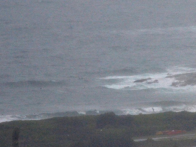
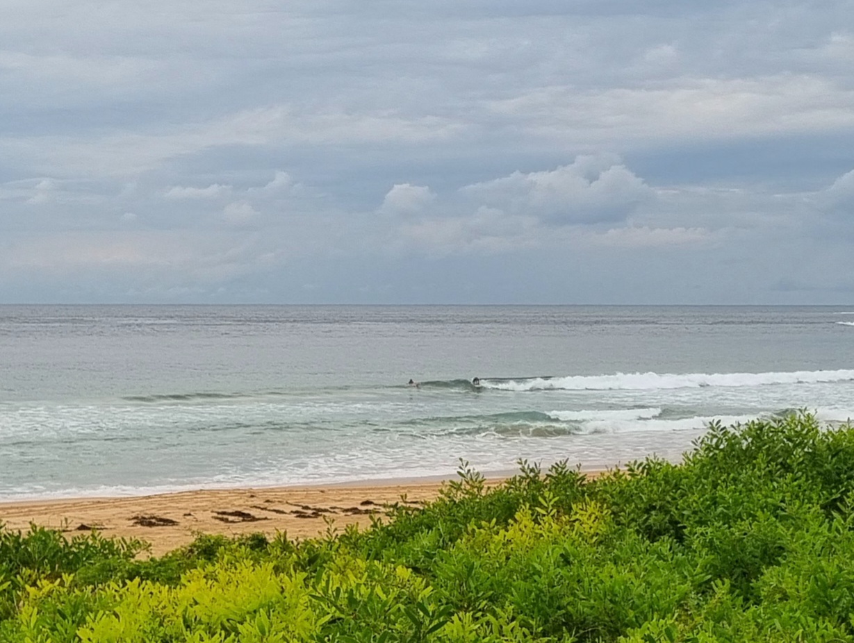
Visibility from the RealSurf crow’s nest is maybe 500 metres as I write this around 0900, so no pictures from me. yet.
The MHL buoy is showing about two metres of 8 second period SE swell. That’s about the same size as yesterday for the swell, but the period is now 20% shorter and therefore I’d expect the wave heights to be struggling to make chest high at spots picking it up.
The rain is expected to back off by late this afternoon, so it looks like a day to play inside.
Tomorrow should see the late arrival of what is currently shaping to be a 2-3 day pulse of fun size east swell. With luck we’ll have something to play on in the head high range at spots that like the swell direction.
Go well with your rainy day Sydneysiders!
Weather Situation
A low pressure system off Queensland southeast coast is deepening and extending a trough along New South Wales north and central coasts while a high pressure system near Tasmania extends a ridge across the southern Tasman Sea. The low will move slowly east away from the coast during Tuesday and Wednesday, as the high moves very slowly to the southeast strengthening the ridge across the western Tasman Sea.
Forecast for Monday until midnight
Winds
Southeasterly 15 to 20 knots.
Seas
1 to 1.5 metres increasing to 1.5 to 2 metres by early evening.
Swell
Southeasterly 1.5 metres.
Weather
Isolated thunderstorms, mainly offshore.
Tuesday 12 June
Winds
Southeasterly 15 to 20 knots.
Seas
1 to 1.5 metres.
Swell
Easterly 2 metres.
Wednesday 13 June
Winds
Southeasterly 10 to 15 knots turning east to northeasterly below 10 knots during the morning.
Seas
Below 1 metre.
Swell
Easterly 2 to 3 metres.


