Hello Friends,
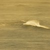
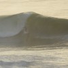
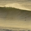
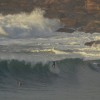
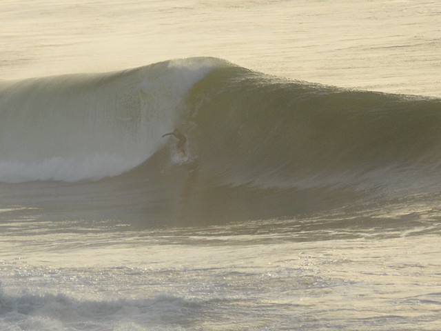
It’s on boys and girls – but you better be pretty good because there are some serious sets in play this morning at spots exposed to the 12 second, 3 metre east swell. We have light westerly wind this morning, and it’s basically due to stay this way all day long.
Outlook is for the swell to push along at more or less the same size today and drop a touch for tomorrow. But weekend warriors won’t be missing out because on current modelling, it should still be pushing along pretty nicely come Saturday morning.
I’m hoping to get out with the camera, so wave hi if you see me!
TIDES: L @1015 H @1650
Weather Situation
A deep low pressure system to the north of Norfolk Island is moving further eastward, while a high to the east of Tasmania extends a ridge across the west of the State. The high is expected to slowly move toward New Zealand, with the associated ridge extending throughout NSW. Another low pressure trough is expected to move through southern parts of the state during the weekend with a low forming over the southern Tasman Sea.
Forecast for Thursday until midnight
Winds
Northwest to northeasterly 5 to 10 knots.
Seas
Below 1 metre.
Swell
Easterly 3 to 4 metres.
Weather
Large swells breaking dangerously close inshore.
Friday 15 June
Winds
Northerly 10 to 15 knots turning northwesterly during the morning.
Seas
Below 1 metre.
Swell
Easterly 2 to 3 metres.
Saturday 16 June
Winds
West to northwesterly 10 to 15 knots decreasing to variable below 10 knots during the morning then becoming northwest to northeasterly 15 to 25 knots during the afternoon.
Seas
Below 1 metre increasing to 1 to 2 metres during the evening.
Swell
Easterly 2 metres.