Hello Friends,
Light offshore at dawn – and a red sky of warning too.
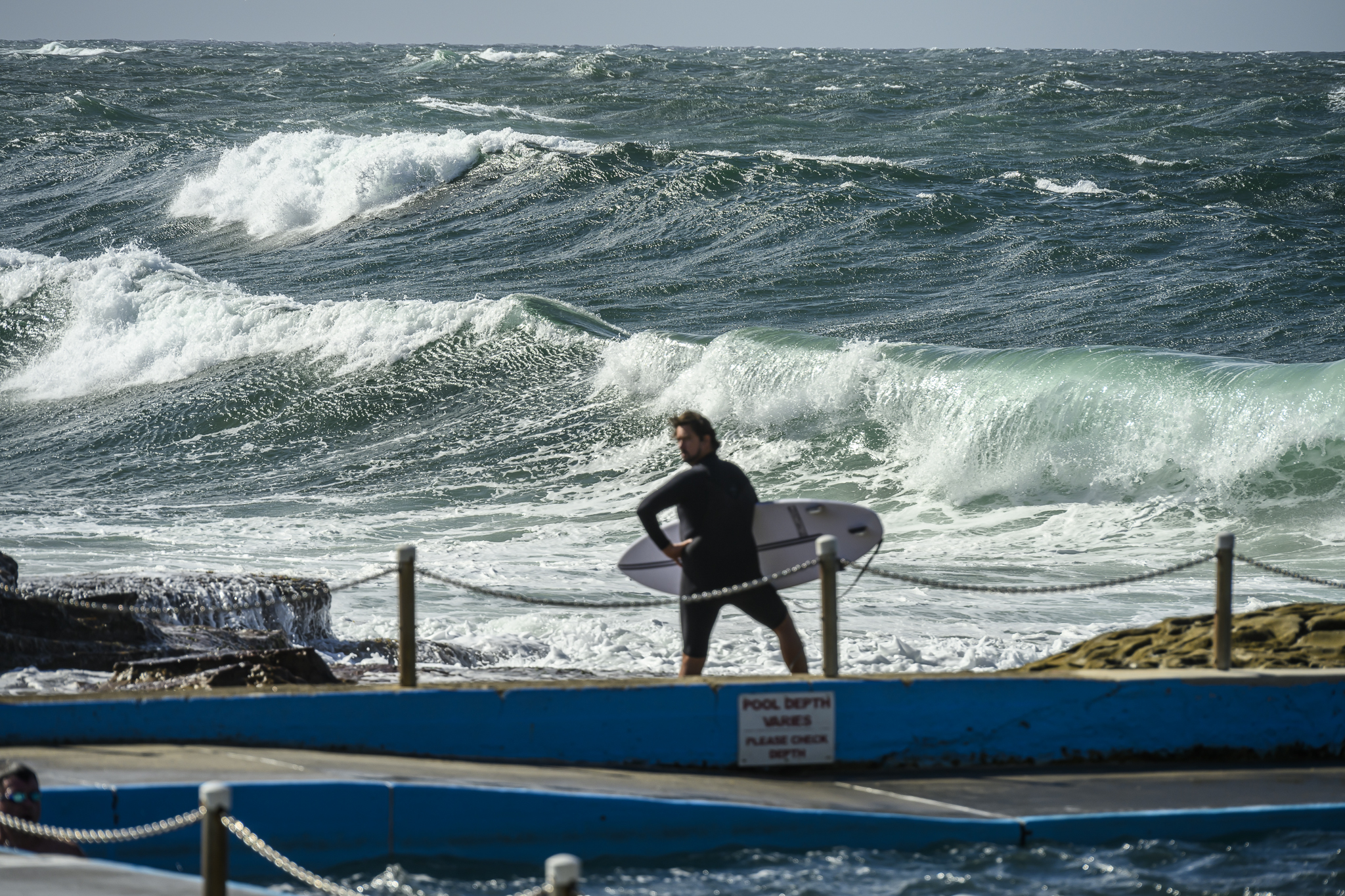
Waves have lost a lot of size overnight. There are still a few in the head high plus range on the bigger sets at exposed spots, but mostly it’s looking like chest for your typical set.
Water should be warm in though as the Sydney buoy is reporting an astounding (concerning actually) 19.
Outlook is for the waves to stick around today and with luck to last through tomorrow as well. Early in the week might see some small stuff, but by next weekend we could be in the grip of a proper winter flat spell.
So enjoy!
TIDES: H @055, L @1145, H @1815


Weather Situation
A high pressure system over the southeastern Tasman Sea extends a ridge through the Tasman Sea to the New South Wales north coast. A low pressure system west of Tasmania extends a trough to the east of Tasmania to the New South Wales south coat. A second weak trough lies to the north of the low pressure centre and is moving very slowly east. This trough preceded by rainband which will cross the state during Saturday as another high moves north of the Bight extending a ridge to the east. The high is expected to move slowly east and to be centred over southeastern Australia by Tuesday.
Forecast for Saturday until midnight
Winds
Northwest to southwesterly 15 to 20 knots tending northerly 20 to 25 knots in the late afternoon then tending north to northwesterly 20 to 30 knots in the evening.
Seas
Up to 1.5 metres increasing to 3 metres by early evening.
Swell
Easterly about 2 metres.
Weather
The chance of thunderstorms developing.
Sunday 17 June
Winds
Westerly 15 to 25 knots increasing to 20 to 30 knots later in the evening.
Seas
1.5 to 2 metres increasing to 2 to 3 metres later in the evening.
Swell
Southeasterly 1.5 metres.
Monday 18 June
Winds
West to southwesterly 15 to 25 knots becoming southwesterly during the morning.
Seas
to 2 metres.
Swell
Southerly about 1.5 metres.


