Hello Friends,
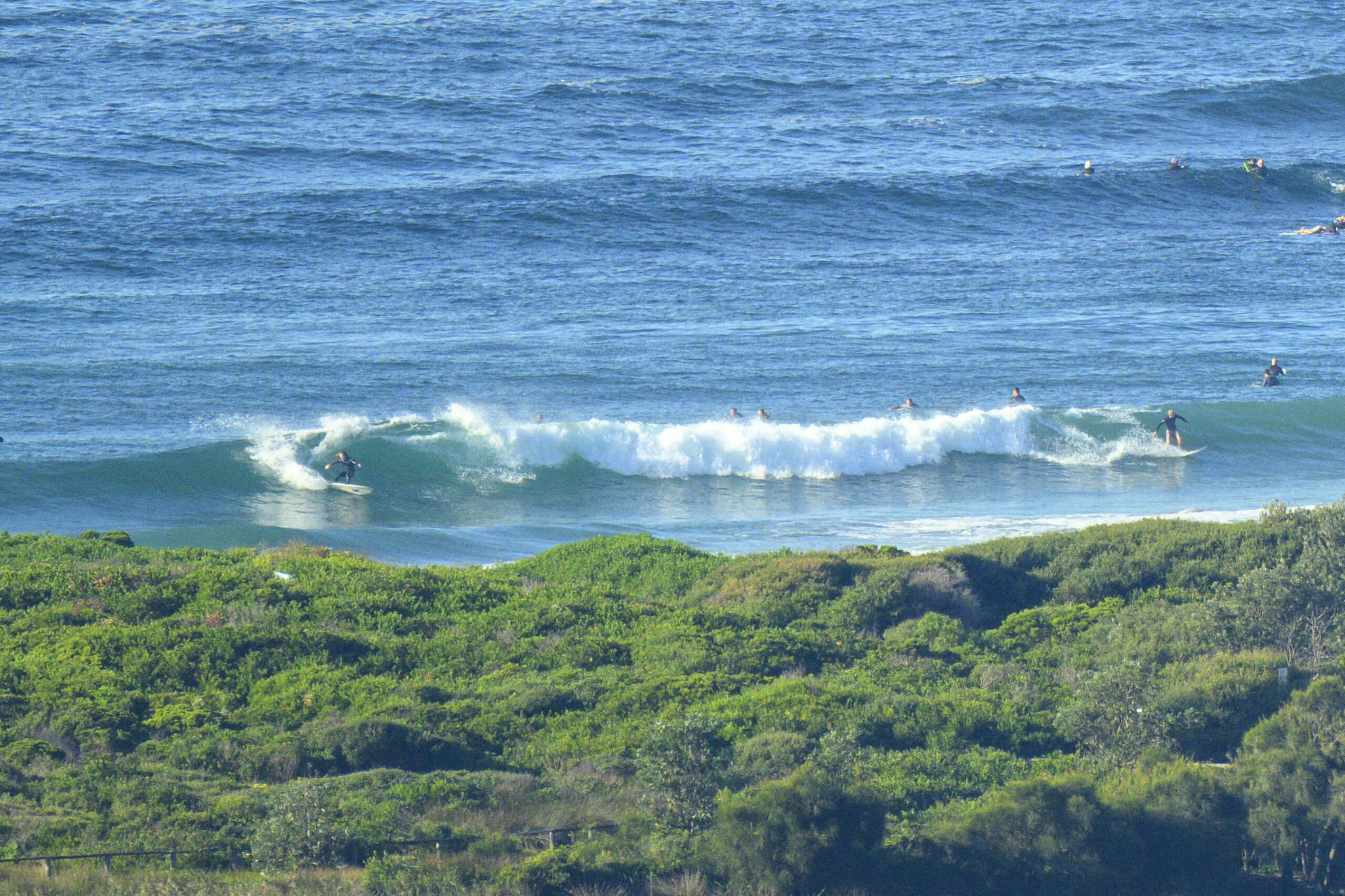
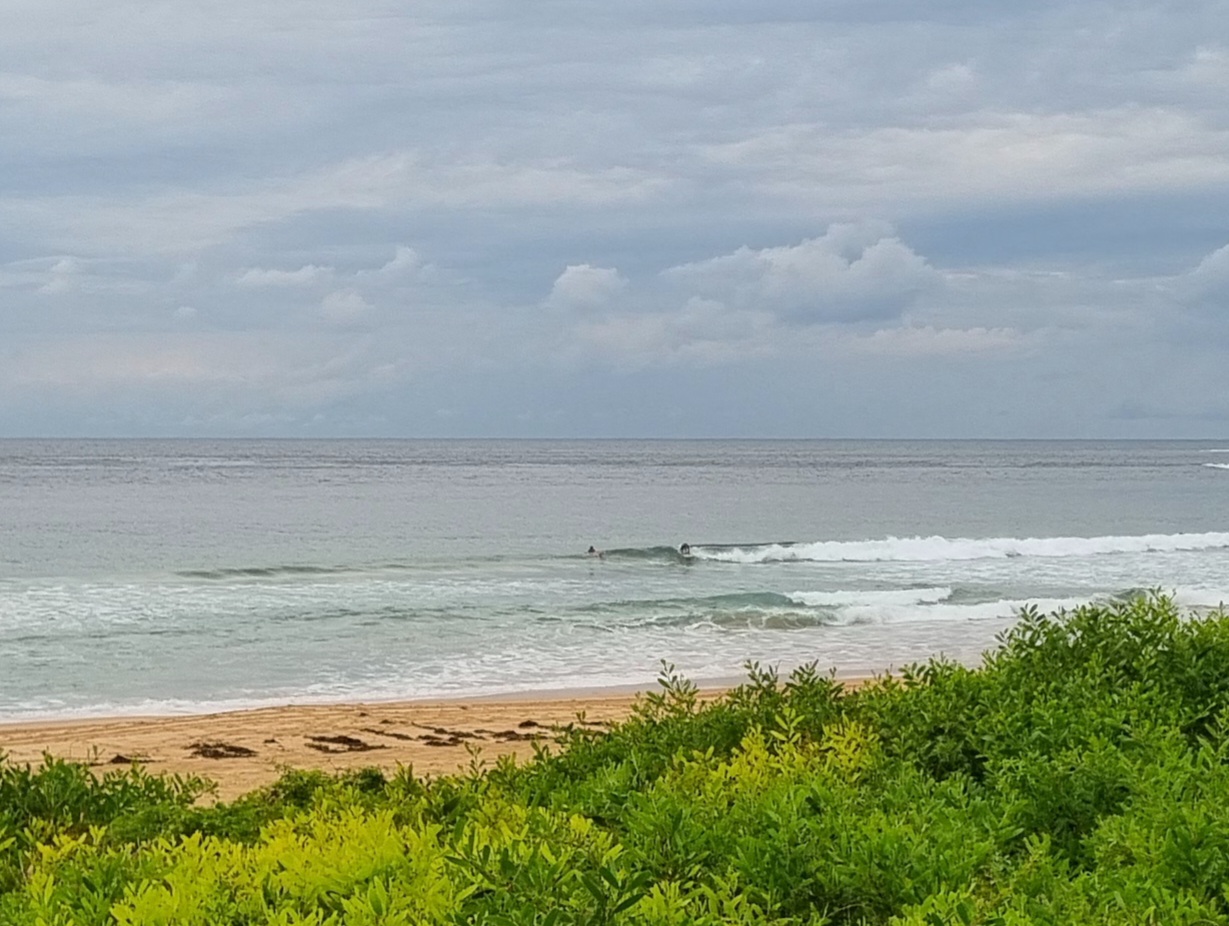
Swell seems to have backed off overnight up this way. Combined with an incoming tide, it meant that the keen folk in the water at the top of the point at Crescent were waiting a very long time for a bite at one and two wave knee high sets. And those mostly ran out of puff before they were even a third the way down the point.
Swell is perking along at a respectable 3 metres from the south with an average period around the 9 second mark, so I’d have to think that Sydney south swell spots should fire this morning. The Bureau is calling for south to south east wind, but it seems to have stayed SW into late morning.
So after a couple big cups of coffee and bacon-egg roll, it was time to head back out to the Pac Hwy and take the left for Sydney. We’re going to have a squiz at Wallaby on the way… just in case… ya never know, we might get lucky…
Not much showing on the swell forecast models this morning. Indeed it looks as though we could have an extended period of small to micro over the coming week.
Have a great Thursday!
Weather Situation
A strong, slow-moving high pressure system near Adelaide is extending a ridge to the northern Tasman Sea. The high is expected to be centred near Bass Strait on Friday maintaining the ridge along the New South Wales coast.
Forecast for Thursday until midnight
Winds
South to southeasterly 15 to 25 knots.
Seas
1.5 to 2 metres.
Swell
Southerly 2 to 3 metres.
Weather
The chance of thunderstorms. Large swells breaking dangerously close inshore in the morning.
Friday 6 July
Winds
Southeasterly 15 to 20 knots turning southerly in the morning.
Seas
1 to 2 metres.
Swell
Southeasterly about 2 metres.
Weather
The chance of thunderstorms offshore early in the morning.
Saturday 7 July
Winds
Southerly 10 to 15 knots turning southeasterly below 10 knots during the day.
Seas
Below 1 metre.
Swell
Southeasterly 1.5 metres.


