

Hello Friends,
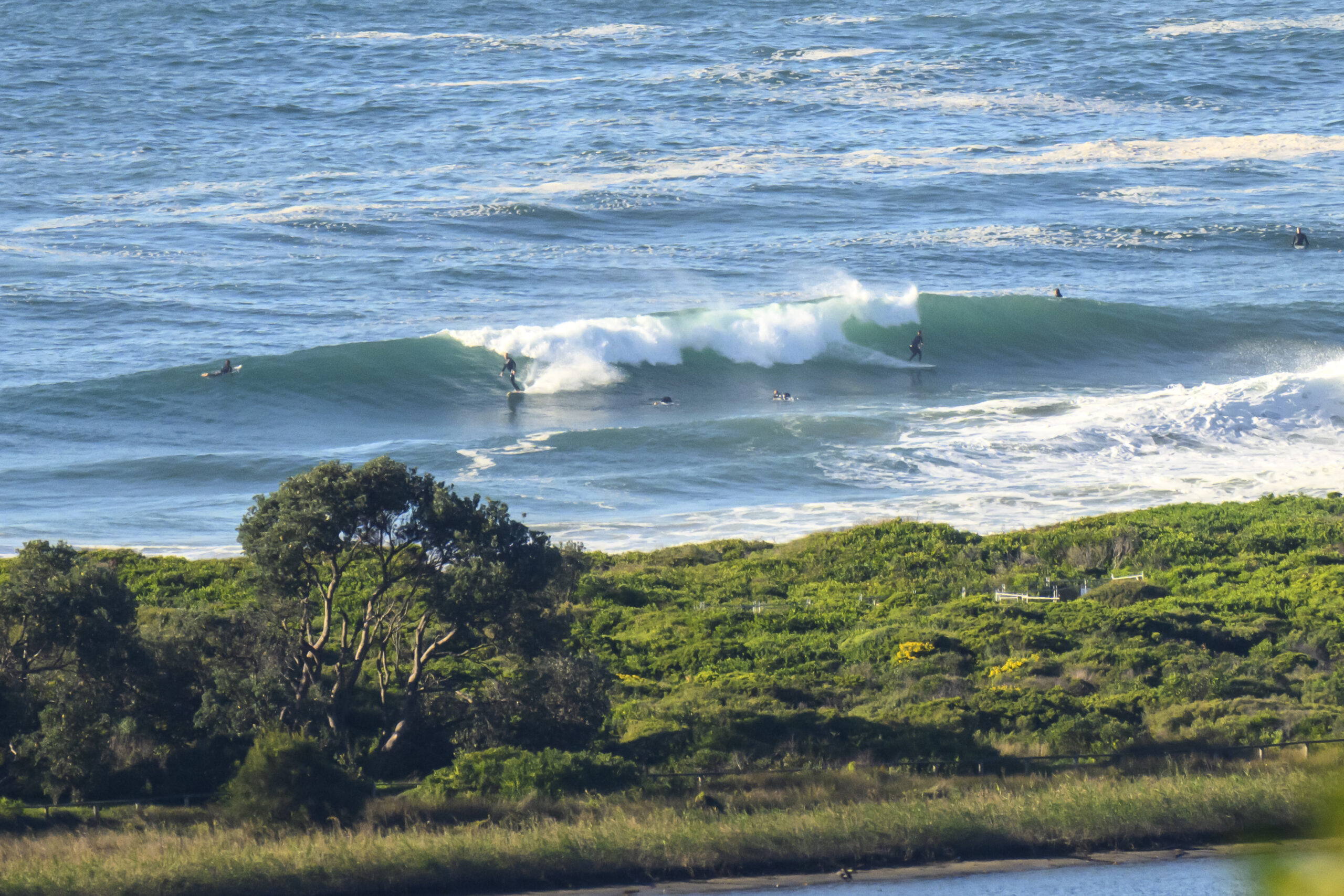
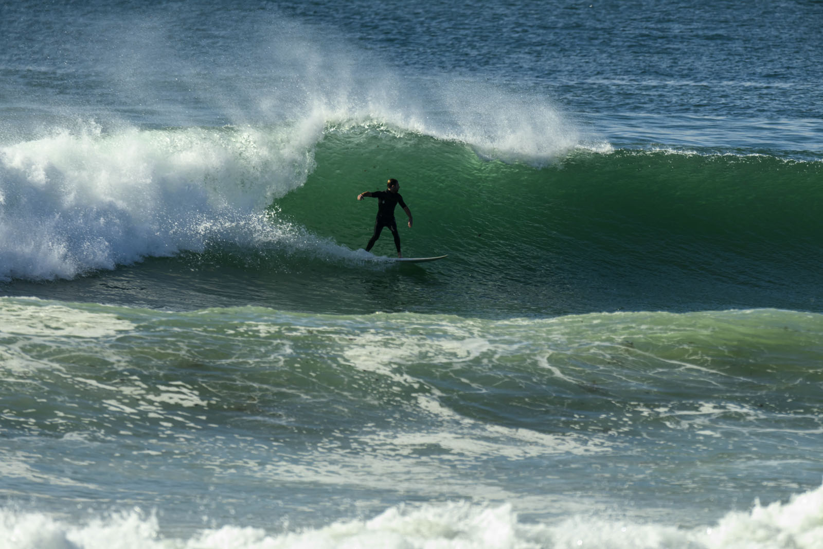
Not exactly a morning of pumping swell, but by no means hopelessly tiny either. You’ll need to get to your favourite bit of e-ne exposed beach though. Sets at the bigger spots were into the chest high range, but there was definitely a wait. When I checked at sunrise, there were little waves to be had from south of Wetherill Street to North Narrabeen and up toward the pole at Dee Why. The latter was smaller though as it’s not as optimally exposed.
The westerly is set to pick up as the day gets going and the Bureau says it’ll be more NW in places.
Outlook is for this little stuff to hang around through today, but likely to have faded toward nightfall and to be pretty much gone by tomorrow.
Our next potential pulse could be a small but long period number from the south starting from about Tuesday and peaking Wednesday.
Get into it if you can!
Tides: L @1015 H @1700
Weather Situation
A complex low pressure system moving across the southwestern Tasman Sea will bring westerly change along New South Wales coast today. During Sunday a high pressure system will move north of the Bight extending a ridge to the northern Tasman Sea and winds will turn southwesterly.
Forecast for Saturday until midnight
Winds
West to northwesterly 10 to 20 knots.
Seas
Up to 1.5 metres.
Swell
Northeasterly 1 metre.
Sunday 15 July
Winds
Westerly 15 to 20 knots increasing to 20 to 30 knots early in the morning then decreasing to 20 to 25 knots in the early afternoon.
Seas
1 to 2 metres increasing to 3 metres around dawn then decreasing to 2 metres during the afternoon.
Swell
Northeasterly about 1 metre tending southerly 0.5 metres from midday.
Monday 16 July
Winds
Westerly 15 to 20 knots decreasing to variable about 10 knots during the morning.
Seas
Up to 1.5 metres.
Swell
Southerly about 1 metre.


