Hello Friends,
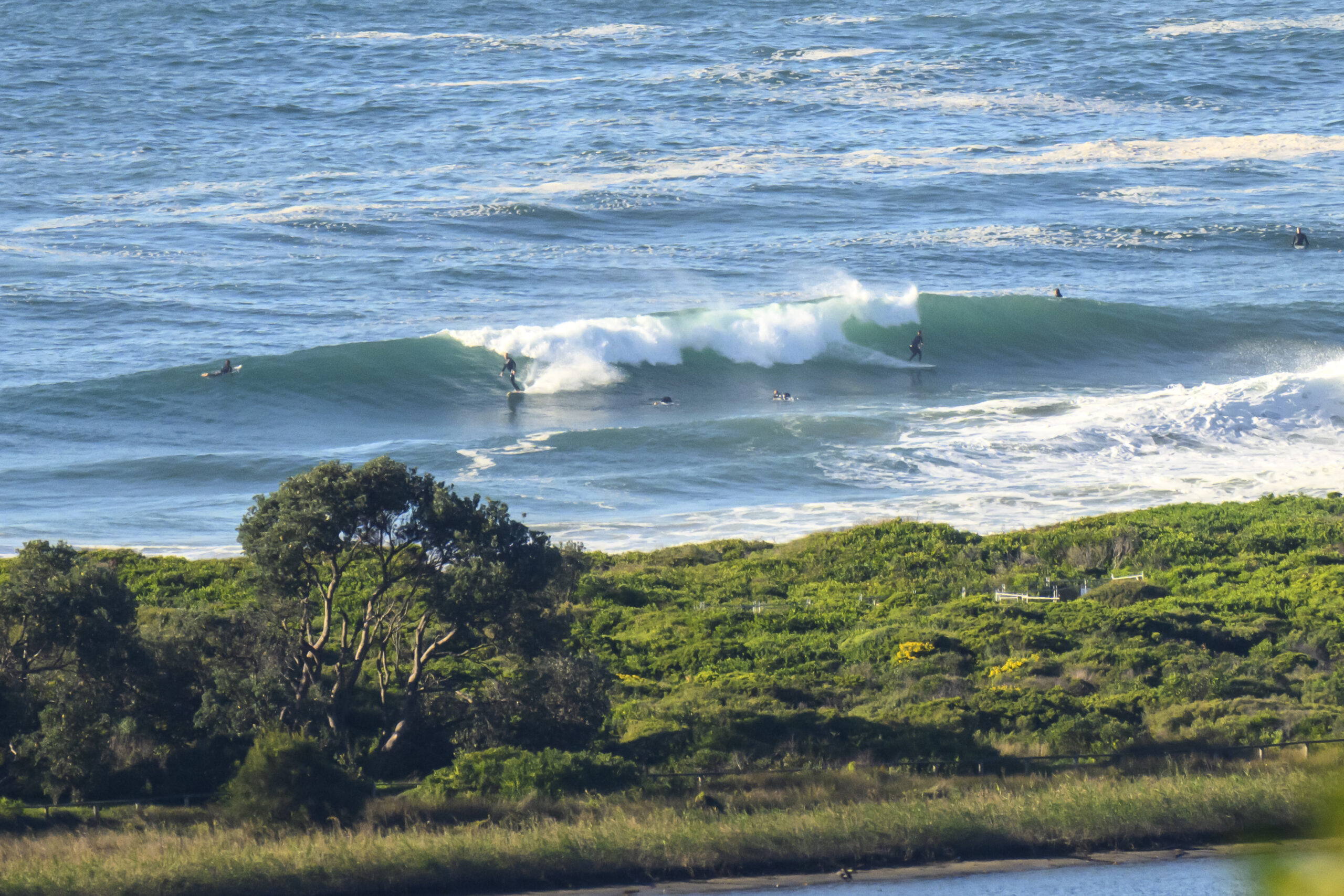
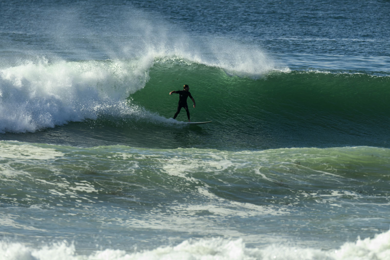
Cold enough for you this morning? At least the blasting southerly of yesterday evening is not in evidence as Friday gets started. Plus, there’s actually a little bit of SSE wind swell showing at Dee Why, so methinks there will be a few more places offering something similar. Sets look to be in the chest high range. The MHL data is showing SSE at 7 seconds apart with an average height at sea of about 1.5 metres.
The southerly should start to pick up soon though and it’s expected to be hammering in at 20-25 kts by this afternoon. And it won’t really let up for a couple days. In fact tomorrow it’s set to be SE, so while the swell’s going to push up, the surf options are going to push down.
We may have to wait until Tuesday-Wednesday for the winds to relent so we can get at some cleaner conditions.
Have yourself a top old Friday!
TIDES: H @0900, L @1440
Weather Situation
A low is situated over the central Tasman Sea and a high pressure system over central Australia is extending a ridge to southwestern Tasman Sea. During Friday and Saturday the low will deepen further and move very slowly east to southeast while the high strengthens the ridge across the southwestern Tasman Sea.
Forecast for Friday until midnight
Winds
Southerly 15 to 20 knots, increasing to 20 to 25 knots during the afternoon.
Seas
1 to 2 metres increasing to 2 to 3 metres later in the evening.
Swell
Easterly 0.5 to 2 metres.
Saturday 21 July
Winds
Southerly 20 to 25 knots increasing to 25 to 30 knots in the middle of the day then decreasing to 20 to 25 knots in the evening.
Seas
2 to 3 metres.
Swell
Southeasterly 2 to 3 metres tending southerly late in the evening.
Sunday 22 July
Winds
Southerly 20 to 25 knots.
Seas
2 to 3 metres.
Swell
Southeasterly 3 metres.


