Hello Friends,
The models got it wrong.
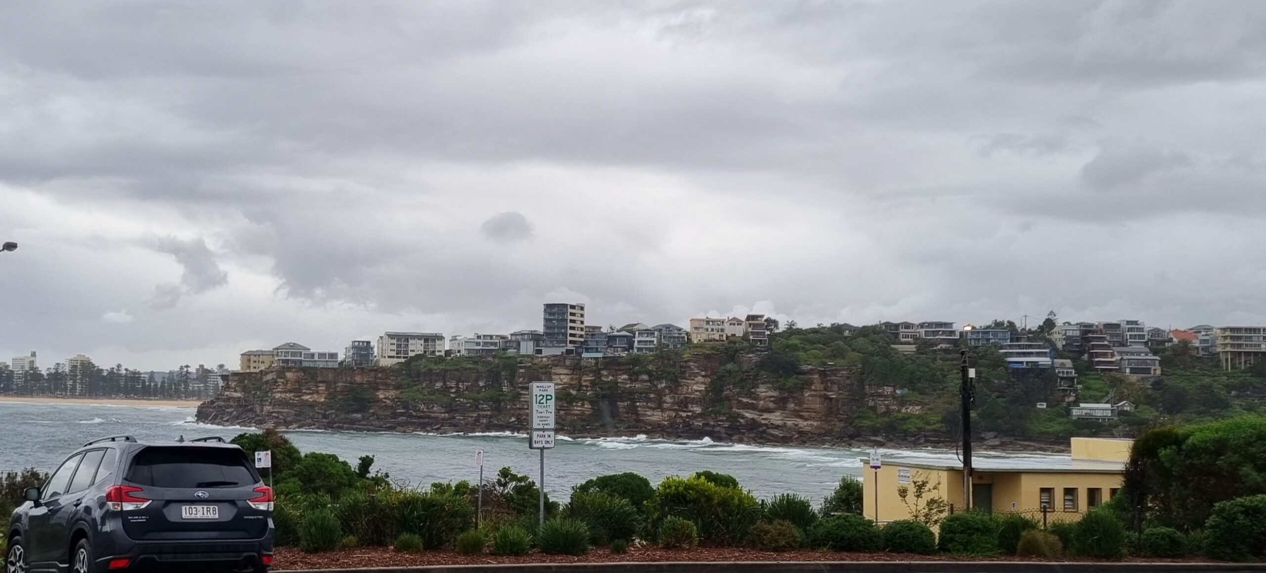
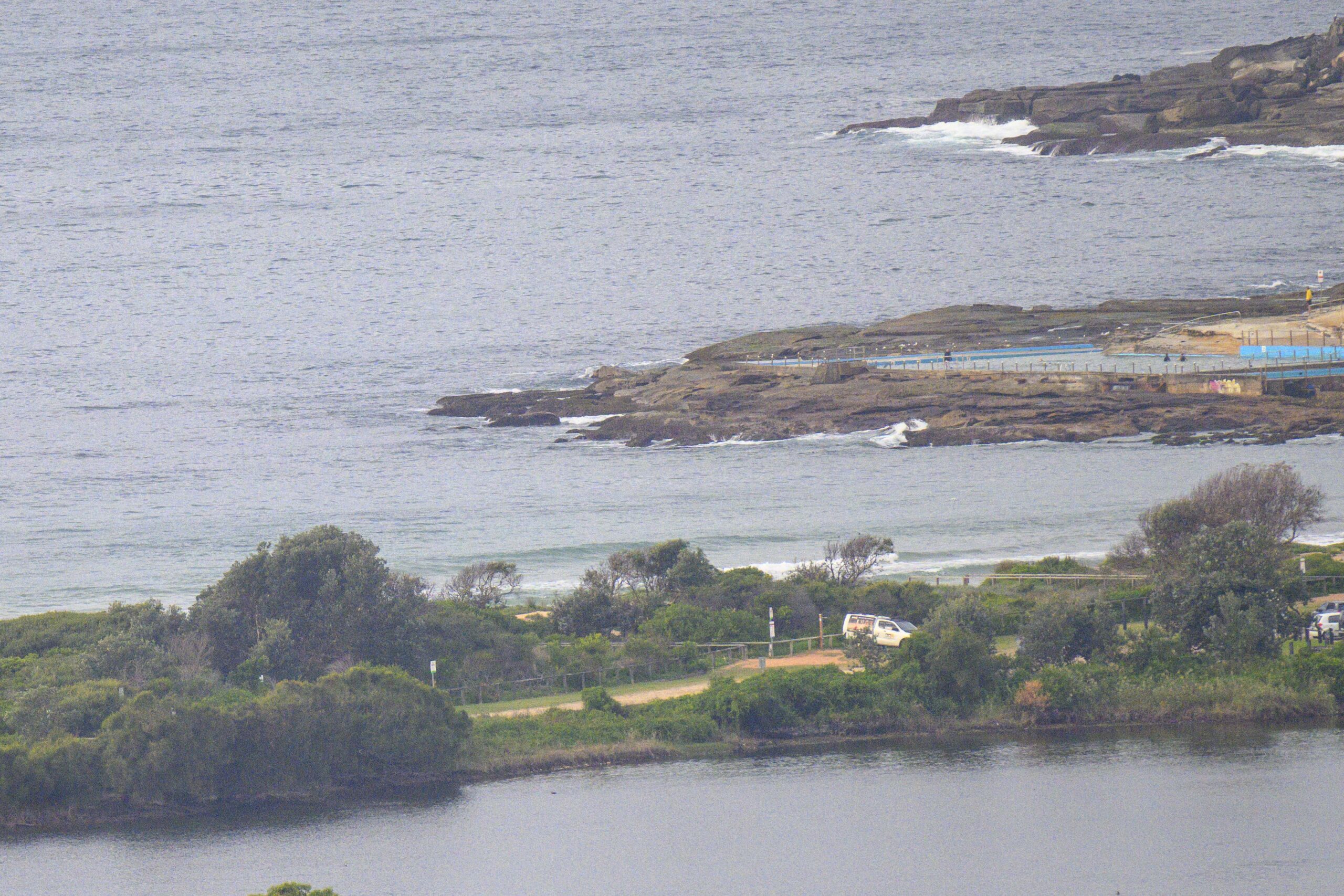
Swell picked up around lunchtime yesterday, but although in gained a metre in average height at sea, it was still only around the 1.5 metre mark as the day got started. Since it is coming directly from the south, the 7 second average period means that there is only a slight improvement over yesterday’s conditions where Dee Why’s concerned.Wind is west at 10-15 kts, which would be good if we had more swell energy.
The Bureau’s swell modelling shows the average height improving a bit toward midday, so maybe things will improve over the present inconsistent knee to waist high sets at the Dee Why end of the beach (and other similarly situated spots).
I’ll be keeping an eye on it…
Tide was low at about 0530 and will hit high around 1145. It’s not a big high (only 1.5 metres) so with luck it won’t swamp any slight improvement.
Looking ahead, those humbled models are now predicting massive south swell and massive south wind for Friday. The Bureau’s modelling agrees and is currently predicting around 4-5 metres of south swell with 25-35kts of SSW wind. Pretty crazy and probably not all that promising from a surf prospects point of view. But, as always, we shall see what we see.
Have yourself a great Tuesday!
Weather Situation
A high pressure system extends through NSW. A cold front near WA will move into NSW waters on Thursday, with strong to gale force southwesterly winds and increasing seas developing through the day. As the cold front moves eastwards into the Tasman Sea an intense low pressure system will develop with high seas and winds expected to continue into the weekend.
Forecast for Tuesday until midnight
Winds
Southwesterly 10 to 15 knots decreasing to variable about 10 knots in the middle of the day then becoming west to northwesterly 10 to 15 knots later in the evening.
Seas
1 to 1.5 metres decreasing to below 1 metre around midday.
Swell
Southerly 2 to 3 metres.
Wednesday 8 August
Winds
Westerly about 10 knots tending northwesterly up to 20 knots in the morning.
Seas
Below 1 metre increasing up to 1.5 metres during the afternoon.
Swell
Southerly about 2 metres decreasing to 1 metre from midday.
Thursday 9 August
Winds
West to northwesterly 15 to 20 knots turning southwesterly 25 to 35 knots during the morning.
Seas
1 to 1.5 metres increasing to 1.5 to 2 metres during the morning then increasing to 2 to 3 metres during the afternoon.
Swell
Southerly about 1 metre.


