Hello Friends,
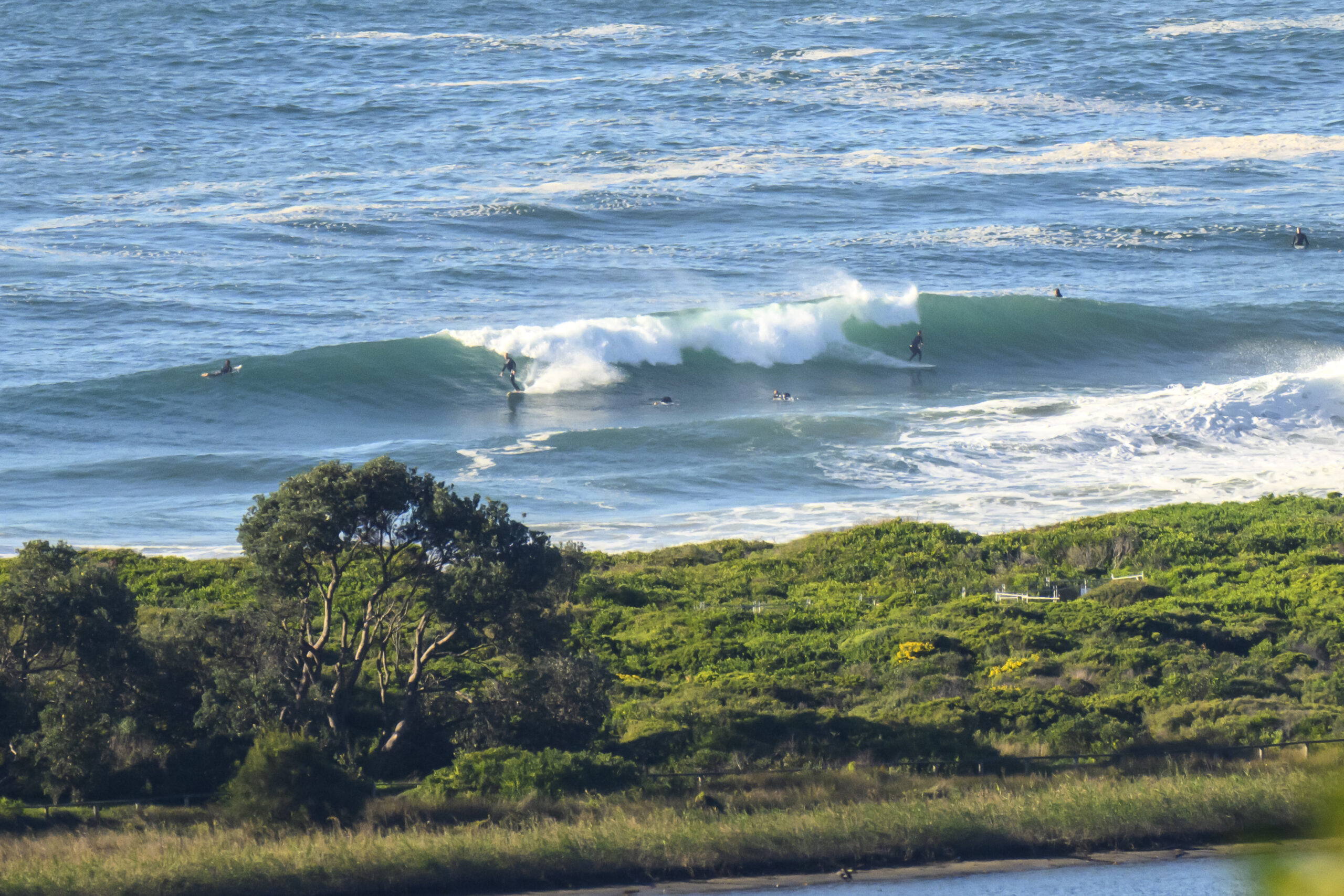
We’re on hold in Sydney this morning. A light but steady NW wind was adding a little scrappy special something to the surface conditions at a basically flat Dee Why when I first checked a little after 0700. According to the recently restored MHL Sydney buoy data, there is a little east wind swell of about a metre at sea. But it’s only 6 seconds apart on average, so really, we’re just talking about chop.
There’s no joy in this morning’s run of the swell forecast models either. Another week of dribble from the look of it. Spring is coming in I’m afraid.
Still, as we all know, the waves will return, so patch those dings, refresh the wax job and maybe take the mal for a paddle just to keep the muscles in shape.
Have yourself a productive and happy Wednesday.
Tides: L @0505, H @1125, L @1740
Weather Situation
A high pressure system is over the western Tasman Sea. Northeasterly winds along New South Wales coast are expected to increase from Wednesday through until the end of the week as the high moves towards New Zealand and strengthens and a deep low pressure system approaches the Bass Strait.
Forecast for Wednesday until midnight
Winds
Northerly 15 to 25 knots, reaching up to 30 knots tonight.
Seas
Below 1 metre increasing to 1 to 1.5 metres around midday then increasing to 2 metres by early evening.
Swell
Southeasterly 1 metre tending easterly about 1 metre from the late morning.
Thursday 23 August
Winds
Northerly 20 to 30 knots turning northwesterly in the late evening.
Seas
Up to 3 metres.
Swell
Easterly 0.5 to 1.5 metres.
Friday 24 August
Winds
Westerly 15 to 25 knots.
Seas
1.5 to 2 metres increasing up to 3 metres during the morning then decreasing to 1.5 metres during the evening.
Swell
Northeasterly about 2 metres.

