Hello Friends,
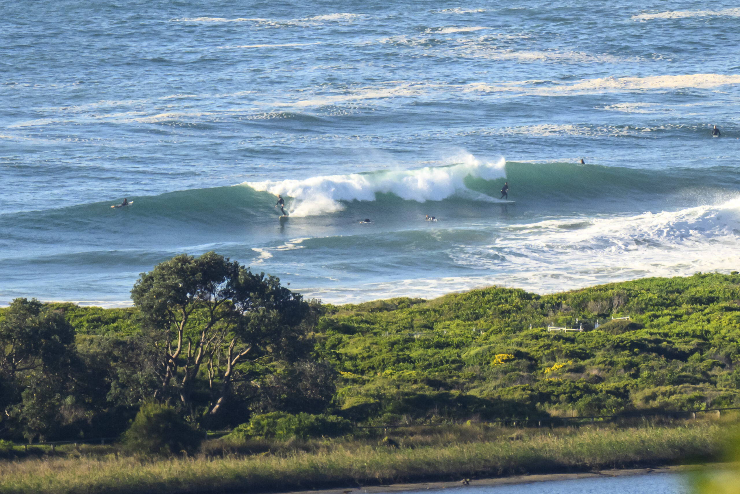
I was hoping there’d at least be a tiny line showing in Dee Why this morning, but once I’d climbed aloft and scanned the situation from the RealSurf crows nest, it was sadly apparent that we were in for another day of microness.
There is a little twitch showing on the buoy data from down south, so maybe we’ll see just a hint of something later this afternoon in the north corners. By then we’re set to have a light NE’r, so who knows … grasping at straws I guess!
Nothing much of interest on the swell models for us this morning either. Some are showing the possibility of a perk into surfable size toward the end of the week. High degree of uncertainty being so far out forecast wise, so we shall see what we see…
Have a top old Monday one and all.
TIDES: L @1010 H @1645
Weather Situation
A high pressure ridge dominates most of New South Wales, with the high pressure centre expected to lie over New South Wales until early Tuesday. The ridge will be weakening and moving to the east from Tuesday as another change is forecast move through the state on Wednesday/Thursday.
Forecast for Monday until midnight
Winds
Variable about 10 knots becoming north to northeasterly 10 to 15 knots in the afternoon.
Seas
Below 1 metre.
Swell
Southerly about 1.5 metres.
Tuesday 28 August
Winds
North to northeasterly 10 to 15 knots, increasing to 20 to 25 knots later in the evening, then easing to 15 to 20 knots.
Seas
1 to 1.5 metres increasing to 2 metres later in the evening.
Swell
Southerly about 1 metre.
Wednesday 29 August
Winds
Northerly 15 to 25 knots.
Seas
1 to 2 metres.
Swell
Southeasterly 0.5 metres tending easterly from midday.

