Hello Friends,
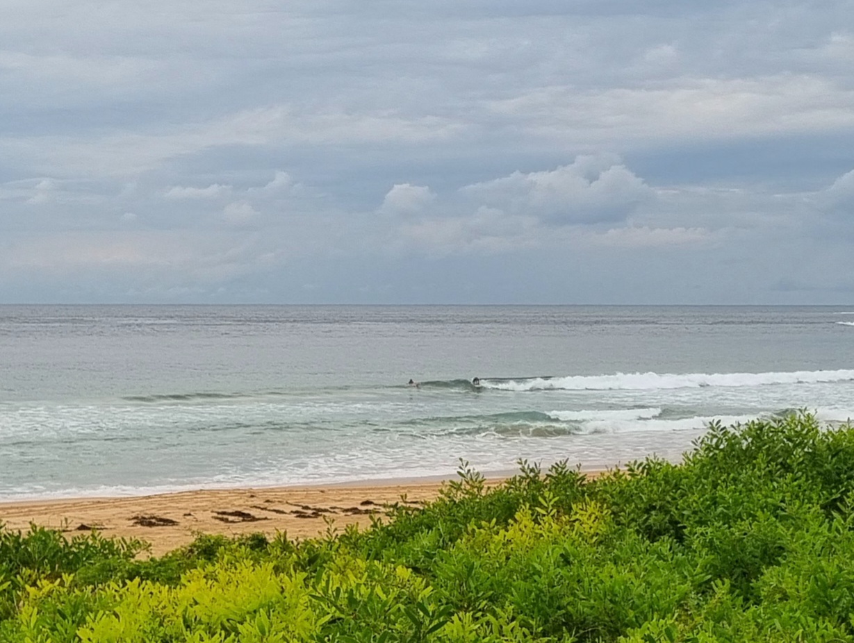
Well, thereyago and whadyaknow, a few waves again this morning for Sydney. Swell is out of the SSE again. It’s about 1.5 metres at 11 seconds, so sets along the beach at Dee Why are getting into the shoulder plus range. Once again, the point basically seems to be missing out – although there are a few bods bobbing about in a hopeful manner.
Tide hit’s high around 0930, but wind is set to be variable until this afternoon when it’s expected to swing northerly.
We don’t have much of interest in this morning’s swell forecast models. It looks as though we’ll see things get smaller as we head into an extended period of dribbleness. But, with a bit of luck it won’t go totally, hopelessly flat for us in Sydney. Small and springy I’d say.
Go well with your Tuesday everyone and get in if you can!
Tides:H @0925 L @1540
Weather Situation
A broad trough of low pressure lies over New South Wales, and a high is centred over the central Tasman Sea. This pattern is expected to remain during the next few days before the trough moves to the Tasman Sea on Friday. Following this, a cold front is forecast to move through the state on Sunday.
Forecast for Tuesday until midnight
Winds
Variable below 10 knots becoming northerly 10 to 15 knots in the afternoon.
Seas
Below 1 metre.
Swell
Easterly about 1.5 metres.
Weather
The chance of thunderstorms.
Wednesday 19 September
Winds
North to northwesterly 10 to 15 knots tending west to northwesterly in the morning then decreasing to variable about 10 knots in the middle of the day.
Seas
Below 1 metre.
Swell
Easterly 1 metre tending southeasterly in the afternoon and evening.
Thursday 20 September
Winds
South to southwesterly about 10 knots tending easterly 10 to 15 knots during the afternoon then tending northeasterly during the evening.
Seas
Below 1 metre.
Swell
Easterly 1 metre.

