Hello Friends,
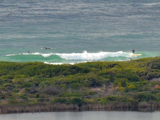
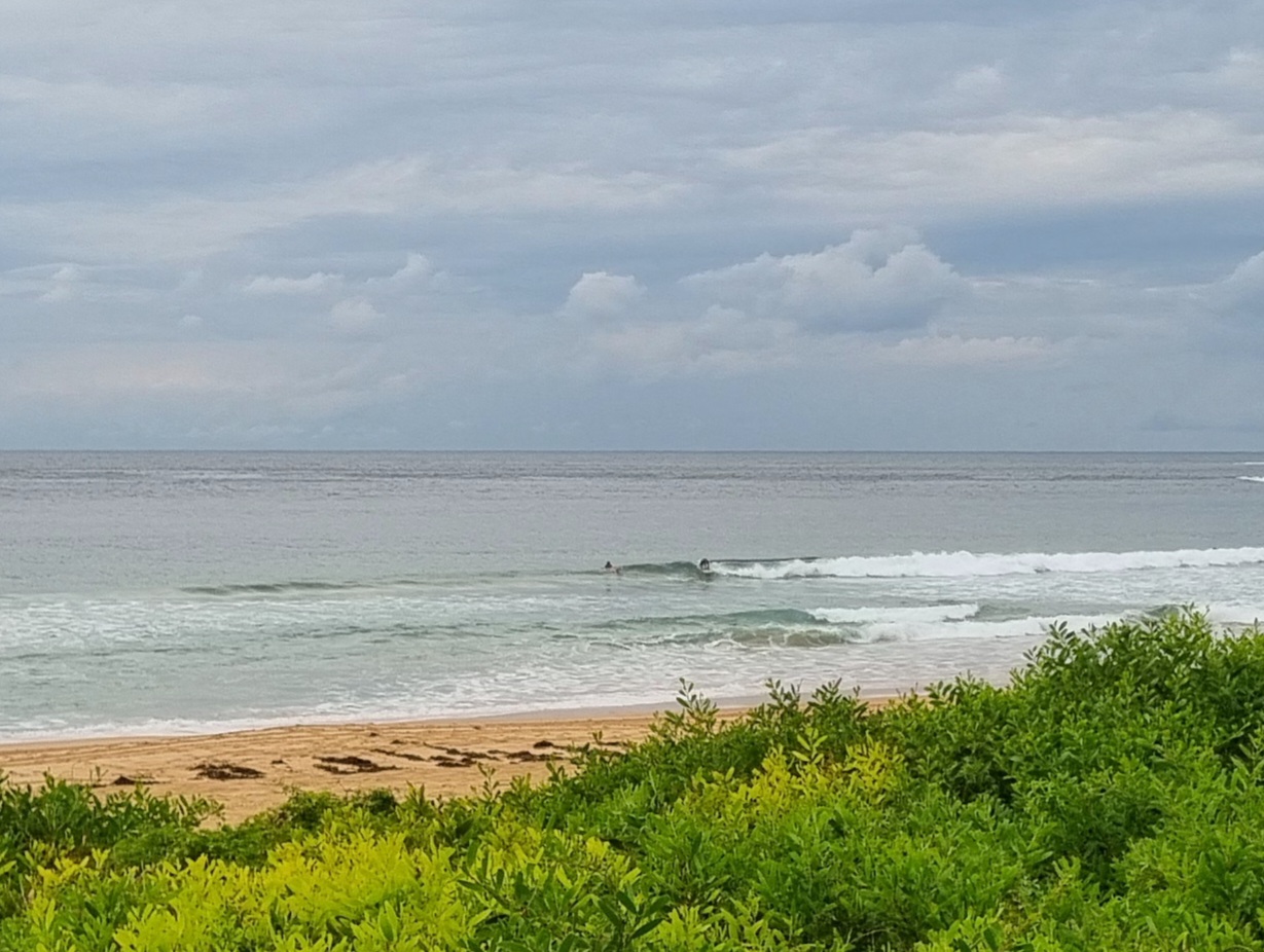
Light WNW winds are making Dee Why a little choppy, but there are small mal-able waves thanks to a couple metres at 8 seconds. Tide was high around 0420 and will be low at 1000. Possibility of a few showers about apparently, but as I tap this out there doesn’t seem to be an immediate prospect of any precipitation around the Northern Beaches.
The call from the Bureau is for the wind to go around to the NE but to stay in the seabreeze 10-15kt range this afternoon. If the swell forecast is right, the current waist to chest sets should still be in evidence.
I’m not too impressed with this morning’s swell outlook though. Really looking as though we’ll be lucky to have much of anything for the middle of the week, and only a marginal improvement in prospect for next weekend along the east coast.
So it goes for springtime, eh?
Keep on smilin’ and go well with your Tuesday!
Weather Situation
A high will develop off the NSW coast on Tuesday in a wake of the recent trough and direct south to southeasterly winds across the state. A weak trough will affect southwestern NSW on Wednesday and Thursday, before a stronger cold front sweeps across the state on Friday and Saturday.
Forecast for Tuesday until midnight
Winds
Southeasterly 10 to 15 knots turning northeasterly during the afternoon and evening.
Seas
Below 1 metre.
Swell
Southerly about 2 metres.
Wednesday 26 September
Winds
Northeasterly 15 to 25 knots.
Seas
Below 1 metre increasing to 1.5 to 2 metres during the afternoon.
Swell
Southeasterly 0.5 to 1.5 metres.
Thursday 27 September
Winds
Northeasterly 20 to 25 knots turning northerly 25 to 30 knots during the day.
Seas
1.5 to 2 metres increasing to 2 to 3 metres during the afternoon.
Swell
Easterly about 1 metre.

