Hello Friends,
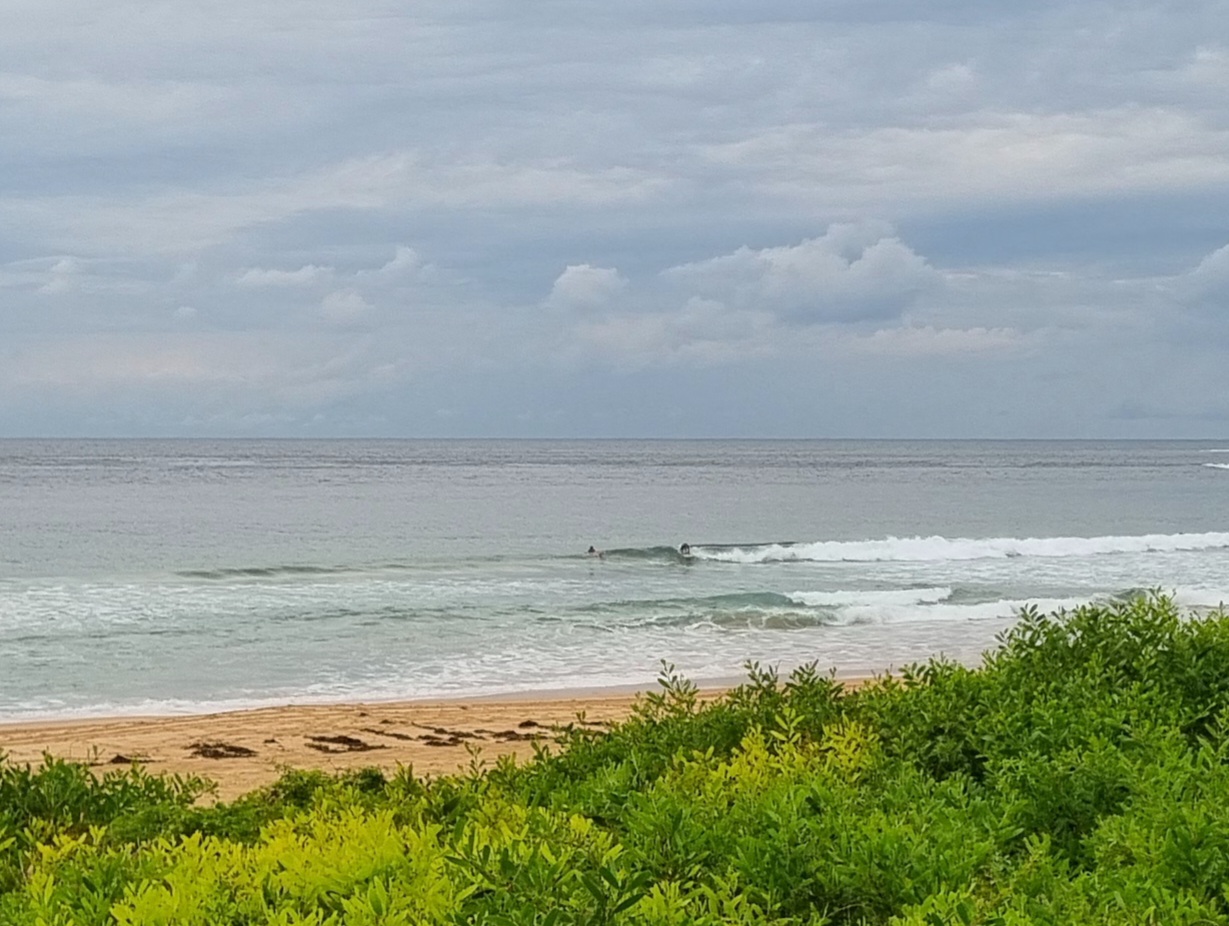
I don’t think I’d be steering you wrong to say that there’s not much chance of a wave this morning along the northern beaches. There’s about a metre of NE wind swell, but given the 6 second period, it’s somewhere between utterly flat and barely catchable. I’d be looking at NE spots with a set of very low expectations if you just have to get wet. Wind’s N-NE at around 15 knots, so anywhere exposed is getting torn up. The wind is set to go around more to the north and pick up into the 25-30 kt range. All that wind should push up a little more size toward dusk, but quality will be marginal at best even in the north corners.
Ah well. No reason you can’t have a top old Friday – even if a surf is off the agenda!
Tides: L @0645 H @1245
Weather Situation
A weakening high pressure system lies over the southern Tasman Sea. An active cold front will bring west to southwesterly change to the far south coast late Friday evening extending to the north coast during Saturday. A high pressure ridge will extend over the state Sunday.
Forecast for Friday until midnight
Winds
Northerly 15 to 20 knots, increasing to 25 to 30 knots in the morning.
Seas
1.5 to 2 metres increasing to 3 metres during the morning.
Swell
Northeasterly about 1 metre becoming 1.5 metres late this evening.
Weather
The chance of thunderstorms
Saturday 29 September
Winds
Northwesterly 15 to 25 knots turning west to southwesterly 20 to 30 knots in the afternoon.
Seas
Up to 2 metres increasing to 2 to 3 metres by early evening.
Swell
Northeasterly about 2 metres.
Weather
The chance of thunderstorms in the morning.
Sunday 30 September
Winds
Westerly 15 to 25 knots decreasing to variable about 10 knots during the day then becoming west to southwesterly 10 to 15 knots during the evening.
Seas
Up to 2 metres decreasing to below 1 metre during the afternoon.
Swell
Northeasterly 1 metre tending southerly 1.5 metres from the morning.

