
Hello Friends,
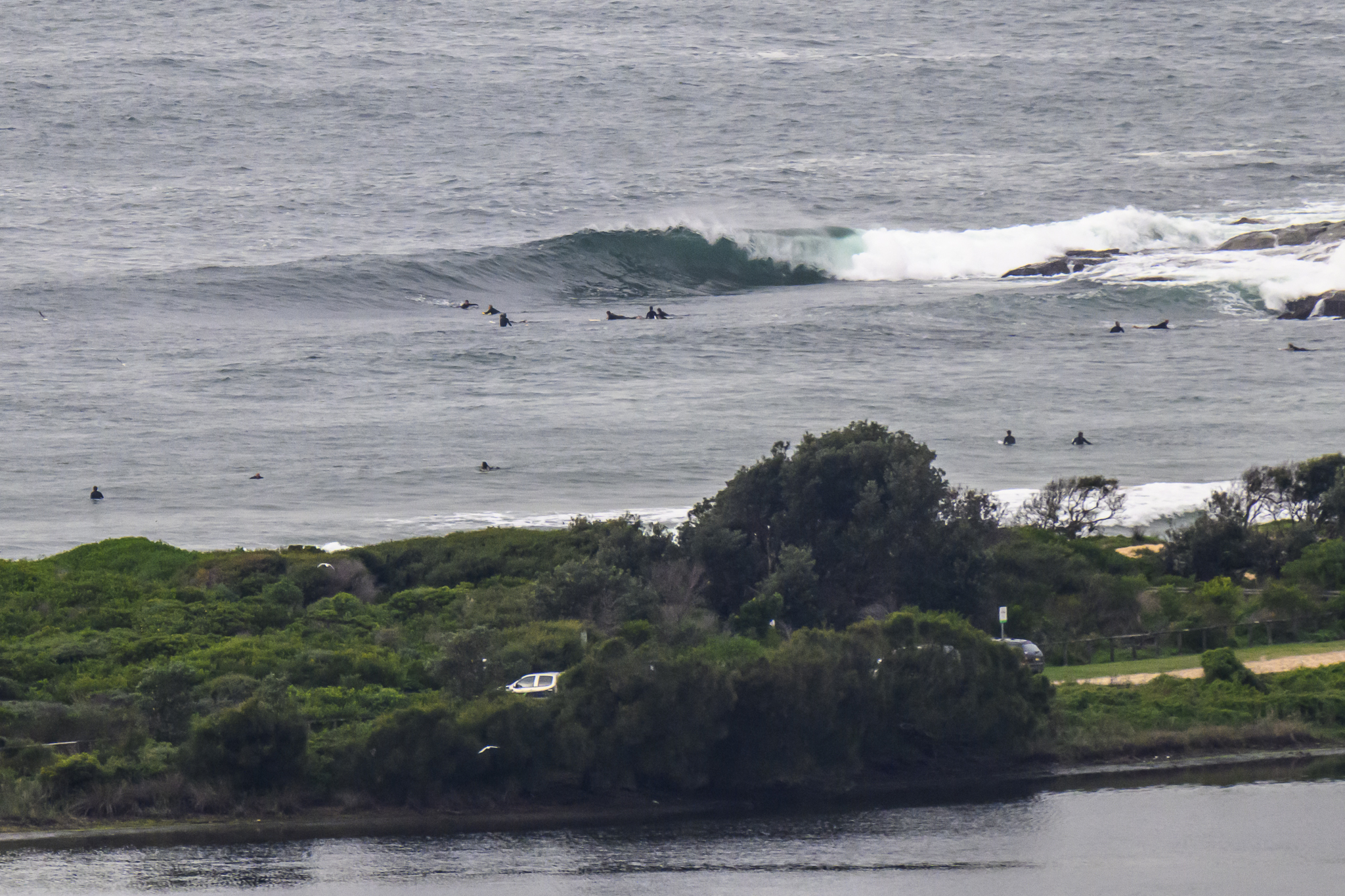
Yesterday’s little afternoon perk survived the night hours and was hanging in there as Thursday kicked off. It’s coming from the SSE at about 9 seconds apart and two metres at sea. Wind is out of the ENE to NE at about 10 kts and the tide isn’t high until 0950, so the spots exposed to the swell are generally pretty sloppy looking. But at least there’s something to chase, so set the expectometer at a modest level and enjoy!
Outlook is for more of the same through to early next week when the models are pointing toward maybe shoulder high plus conditions.
Weather Situation
A low pressure trough over the northern New South Wales coast is weakening as a high strengthens across the south. Later today the high will move to the Tasman Sea, restoring generally northerly winds along the coast. A low developing within a trough to the west is forecast to reach the coast later Friday, bringing a brief southerly change to the south. The next significant cold front appears likely to affect the region during Sunday and Monday.
Forecast for Thursday until midnight
Winds
Variable about 10 knots becoming northeasterly 15 to 20 knots in the afternoon.
Seas
Below 1 metre.
Swell
Southerly about 2 metres.
Friday 19 October
Winds
Northeasterly 15 to 20 knots turning northerly during the day.
Seas
Up to 1.5 metres.
Swell
Southerly about 1 metre.
Saturday 20 October
Winds
Southwesterly 15 to 25 knots shifting east to southeasterly 10 to 15 knots during the day.
Seas
Up to 2 metres decreasing to below 1 metre during the evening.
Swell
Southeasterly 1 metre.

