Hello Friends,
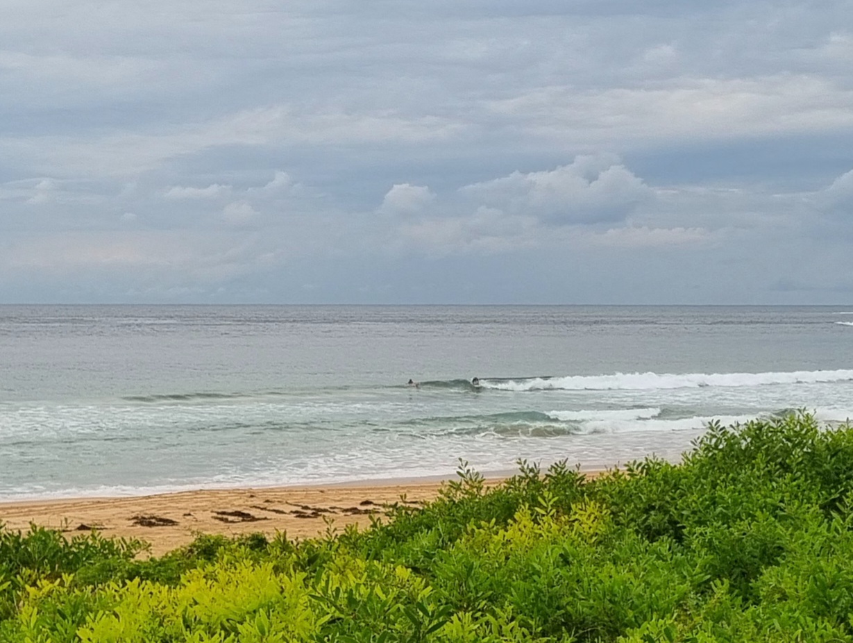
Weak and tiny NE wind swell lapping into the beaches of Sydney this morning. The wind and tide don’t really matter to surfers today. So, thoughts turn to the outlook and it’s not too red hot I’m afraid. The next two to three days are shaping up to be a variation on this morning. The swell forecast models continue to point toward a south pulse across the weekend, but at this stage it’s not looking like quality because the wind will be out of the southern quarters.
So have yourself a safe and happy Tuesday. And best wishes for good luck to our friends on the east coast of the USA where the unprecedented hurricane Sandy is coming ashore.
Weather Situation
A high pressure system over the Tasman Sea is moving slowly east-southeast maintaining a ridge to the New South Wales north coast through until later in the week. Later Wednesday or early Thursday a cold front is expected to bring a southerly change to the far southern areas as the high weakens near New Zealand. During Thursday and early Friday this southerly change will extend throughout.
Forecast for Tuesday until midnight
Winds
Northeasterly below 10 knots, increasing to 15 to 20 knots in the late afternoon.
Seas
Below 1 metre increasing to 1.5 metres by early evening.
Swell
Southerly about 1 metre tending southeasterly 0.5 metres late this evening.
Wednesday 31 October
Winds
North to northeasterly 15 to 20 knots.
Seas
Up to 1.5 metres.
Swell
Easterly about 1 metre.
Thursday 1 November
Winds
North to northeasterly 15 to 20 knots decreasing to about 10 knots during the evening.
Seas
Up to 1.5 metres.
Swell
Easterly about 1 metre.

