Hello Friends,
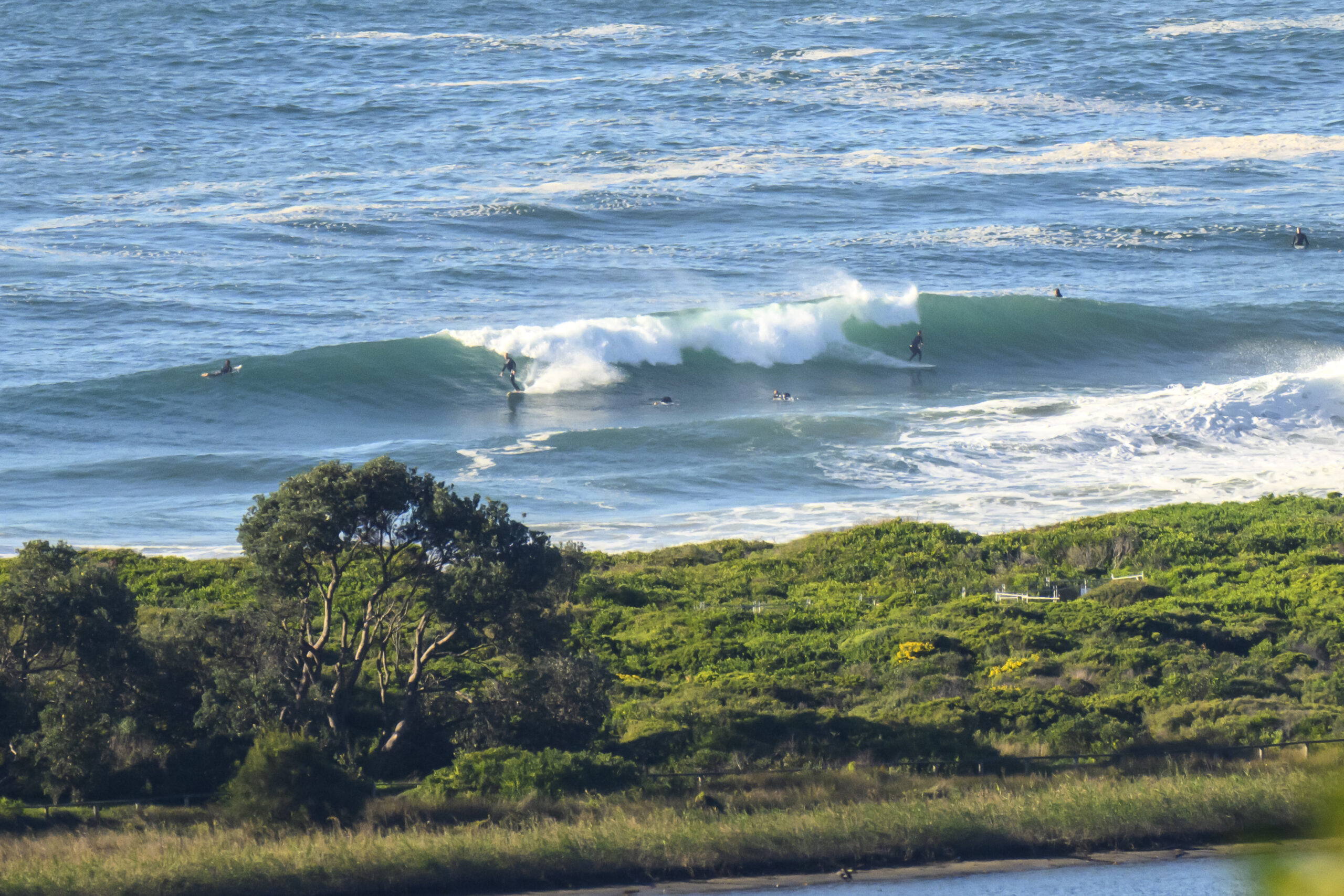
Cloudy, patchy drizzle and light onshores set the stage for a trickle of 8-second period south wind swell at Dee Why. The tide was nearly full as well, so the surf options were reduced to a slightly junky knee to waist high.I could only see one taker, but given how close to shore the waves were (and thus out of my field of view from the crows nest), there might’ve been a few other stalwarts in the water as well. And good on ’em for being so stoked says I.
The onshores are set to last all day and there doesn’t seem much prospect of the swell picking up by much at all. And the forecast doesn’t look better for tomorrow or the next day. The Bureau shows the swell bumping up on Saturday by a little bit. But the wind may be a factor.
Hope you have a great Wednesday!
Tides: H @0755 L @1430
Weather Situation
A weak trough lies over northeast New South Wales. A more significant trough and frontal system is forecast affect the state on Thursday and Friday, bringing southerly change to the far south on Thursday afternoon with the change progressing along the New South Wales coast and reaching the far north on Friday morning. Following this a high pressure ridge will begin to develop over southeastern Australia on Saturday.
Forecast for Wednesday until midnight
Winds
Southeasterly about 10 knots tending easterly 10 to 15 knots early in the morning.
Seas
Below 1 metre.
Swell
Southeasterly 1 metre.
Thursday 15 November
Winds
Northeasterly 10 to 15 knots decreasing to about 10 knots in the late evening.
Seas
Below 1 metre.
Swell
Southeasterly about 1 metre.
Friday 16 November
Winds
Southerly 10 to 15 knots turning southeasterly 15 to 20 knots during the morning.
Seas
Below 1 metre increasing to 1 to 1.5 metres during the afternoon.
Swell
Southeasterly 0.5 metres tending northeasterly 1 metre from the morning.

