Hello Friends,
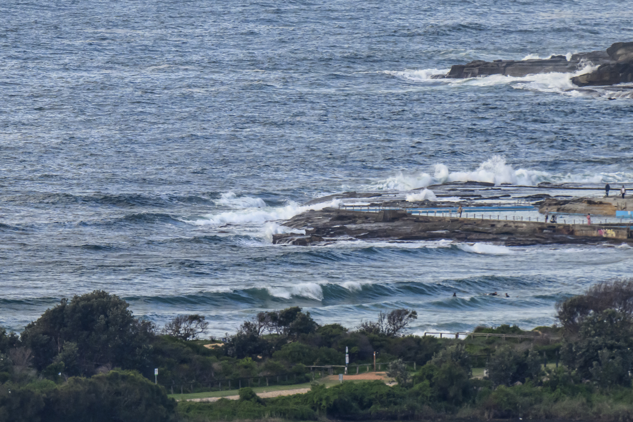
S to SSE at 15-20 kts. Pretty much says it all. Yesterday’s east swell has been replaced by 3 metres of 7-second period SSW wind swell. If you’re really keen, there are a few waist high plus lumps at Dee Why. But the desperation factor needs to be significant I’d say.
The wind is supposed to back off a little as the day goes along, but I’d be surprised if the surf conditions improve significantly, if at all.
I’m not happy with the swell modelling this morning friends. There really isn’t much to give a lift to a surfer’s heart. If they have it right, we’re in for a week (at least) of marginal to flat conditions. Time to rack up the brownie points I guess.
Hope you have a great day anyway and that those models are proven spectacularly wrong sooner rather than later!
Weather Situation
A southerly change moving along the northern parts of New South Wales coast is expected to stall over the far north in the evening. Weak onshore airstream will develop on Friday, followed by northerlies freshening during the weekend as a slow moving trough forms to the west.
Forecast for Thursday until midnight
Winds
Southerly 25 to 30 knots decreasing to 15 to 25 knots later in the morning.
Seas
Up to 3 metres decreasing to 1.5 metres during the afternoon.
Swell
Easterly about 1.5 metres tending southerly 1.5 metres this afternoon and evening.
Weather
The chance of thunderstorms offshore this morning.
Friday 23 November
Winds
South to southeasterly 10 to 15 knots tending east to southeasterly below 10 knots in the morning.
Seas
Below 1 metre.
Swell
Southeasterly about 1.5 metres.
Saturday 24 November
Winds
Northeasterly about 10 knots increasing to 15 to 20 knots during the afternoon.
Seas
Below 1 metre rising to 1 to 1.5 metres during the evening.
Swell
Easterly about 1 metre.