Hello Friends,
Energy levels continue at a low ebb along the east coast this morning. From Eden to Byron the buoy data is showing no more than a metre of short period wind swell. Here in Sydney the average period is weak 7 seconds on a sub-metre ENE swell.
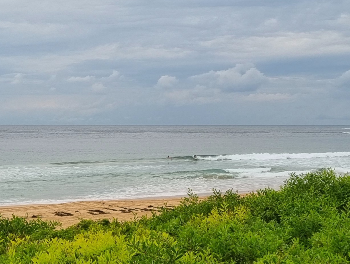
Consequences? As my picture shows, there’s nothing remotely surfable at Dee Why. I suppose you might find a little knee high set wave at places such as Curly, Manly, North Narra or Whaley. But you’ll want to go early because the onshores will be into it by late morning.
The forecast models are still sucking lemons. If they’re right, we have another week or more of this nonsense to endure. There might be a few little knee high things off and on, but solid swell and the east coast don’t look like being in the same present tense sentence for awhile yet.
Have yourself a great Monday!
Weather Situation
A persistent high in the Tasman Sea directs north to northeasterly winds over northern New South Wales waters. A low pressure trough on the central part of the coast will be slow moving for the next few days. This trough is bringing unsettled conditions to eastern NSW.
Forecast for Monday until midnight
Winds
Southeast to southerly 10 to 15 knots tending northeasterly 15 to 20 knots this evening.
Seas
Up to 1 metre.
Swell
Northeasterly 0.5 metres.
Weather
The chance of fog with reduced visibility.
Tuesday 27 November
Winds
Variable about 10 knots.
Seas
Below 1 metre.
Swell
Easterly 0.5 metres.
Weather
Isolated thunderstorms from the late morning.
Wednesday 28 November
Winds
East to southeasterly about 10 knots.
Seas
Below 1 metre.
Swell
Easterly 0.5 metres.

