Hello Friends,
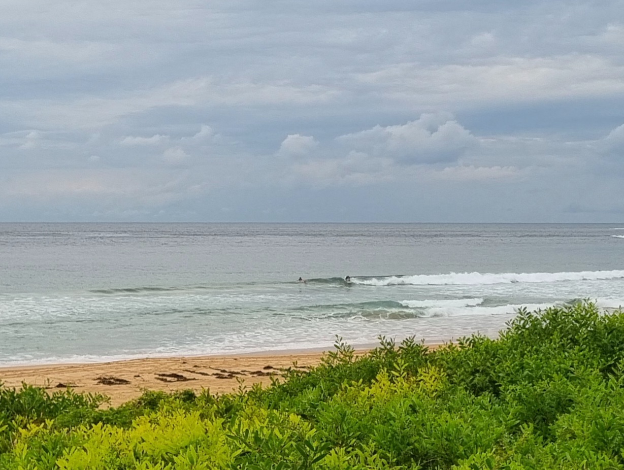
Swell hasn’t really perked by much at all overnight. The energy is coming from the SE quarter, but despite being a couple metres on average, it’s still just short period, locally generated 8 second period wind swell. Wind is out of the south at 15-20 kts. At Dee Why the combo translated into waist high slop with, so far as I could tell, only a single taker in the form of a bloke astride a SUP.
Tide was high just before 0600 and will hit low at 1230.
The wind is set to track through the SE to the east today, so not exactly the brightest outlook for surfin’. Tomorrow the wind should back off a bit, but the Bureau says it’ll still be out of the east. Plus the swell energy is set to weaken. Blergh.
Another front is due through the joint on the weekend and there seems to be some hope of longer period energy with it. But I’m being only cautiously hopeful at this stage. Shoulder high for an early would be nice…
Go well with your Tuesday!
Weather Situation
A high pressure system centred east of Tasmania extends a ridge across the Tasman Sea, which will strengthen as it moves slowly east today. A trough, currently off the northern and central coasts, is forecast to approach the coast today, before it weakens later in the day. Thursday and Friday will see mostly fine conditions as the high pushes a strengthening ridge across the region. The next trough approaching from the west may bring a southerly change to the south later on the weekend.
Forecast for Tuesday until midnight
Winds
South to southeasterly 15 to 25 knots, turning easterly 10 to 20 knots later.
Seas
Up to 2 metres.
Swell
Southeasterly about 2 metres.
Weather
The chance of thunderstorms.
Wednesday 12 December
Winds
Easterly 10 to 15 knots.
Seas
Up to 1.5 metres.
Swell
Southeasterly about 1.5 metres.
Thursday 13 December
Winds
Easterly about 10 knots tending northeasterly 10 to 15 knots during the evening.
Seas
Below 1 metre.
Swell
Easterly 1 metre.

