Hello Friends,
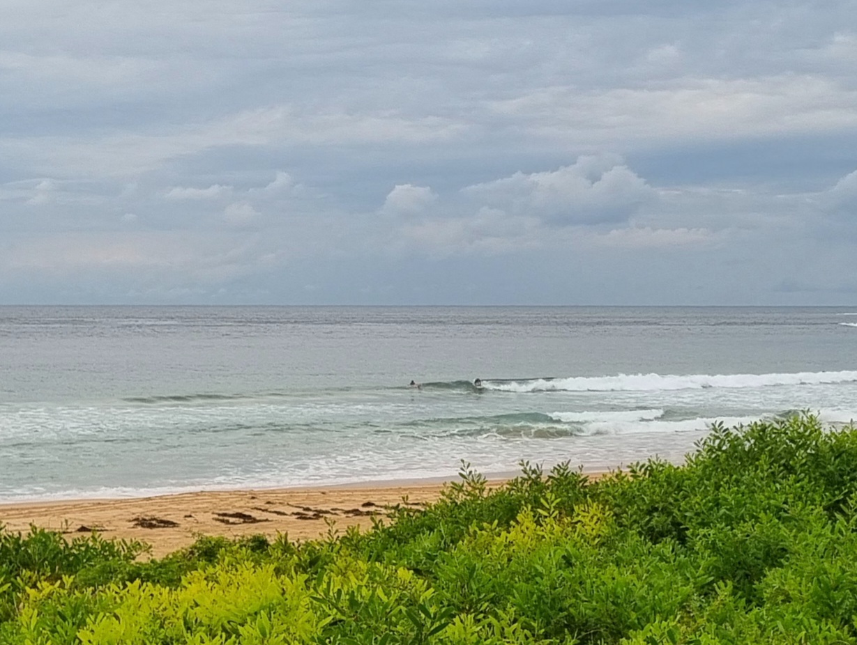
Grey skies start the day, but so do the waves. Not big or anything, but since the energy is mainly from the east at about 9 seconds apart, there should be waist to chest high sets – with the odd plus – this morning. Tide is high at a touch before 1300 and the wind is supposed to be light all morning. So, not a bad outlook overall.
And speaking of outlook, this morning’s swell modelling points toward smaller conditions tomorrow morning, but not flat. Then the same again for Thursday and Friday before, with any luck, we start to see some Evan energy. Some diversity in the predictions beyond that point, but at least a couple are showing solid east from about Sunday through to Monday or even Tuesday morning.
Go well with your day!
Weather Situation
A weak and slow moving trough will linger on the North Coast until early Wednesday before a northerly airstream becomes dominating ahead of an approaching trough. A southerly change is expected to develop on the far south coast early on Thursday before weakening and stalling on the North Coast on Friday.
Forecast for Tuesday until midnight
Winds
Variable about 10 knots becoming southeasterly 10 to 15 knots in the evening.
Seas
Below 1 metre.
Swell
Easterly 1.5 metres.
Wednesday 19 December
Winds
Variable about 10 knots becoming northeasterly 15 to 20 knots in the evening.
Seas
Below 1 metre.
Swell
Easterly about 1.5 metres.
Weather
The chance of thunderstorms inshore in the afternoon and evening.
Thursday 20 December
Winds
Northeasterly 15 to 20 knots tending northerly during the morning then shifting southerly during the afternoon.
Seas
Up to 1.5 metres.
Swell
Easterly 1 to 2 metres.
Weather
The chance of thunderstorms from midday.


