Hello Friends,
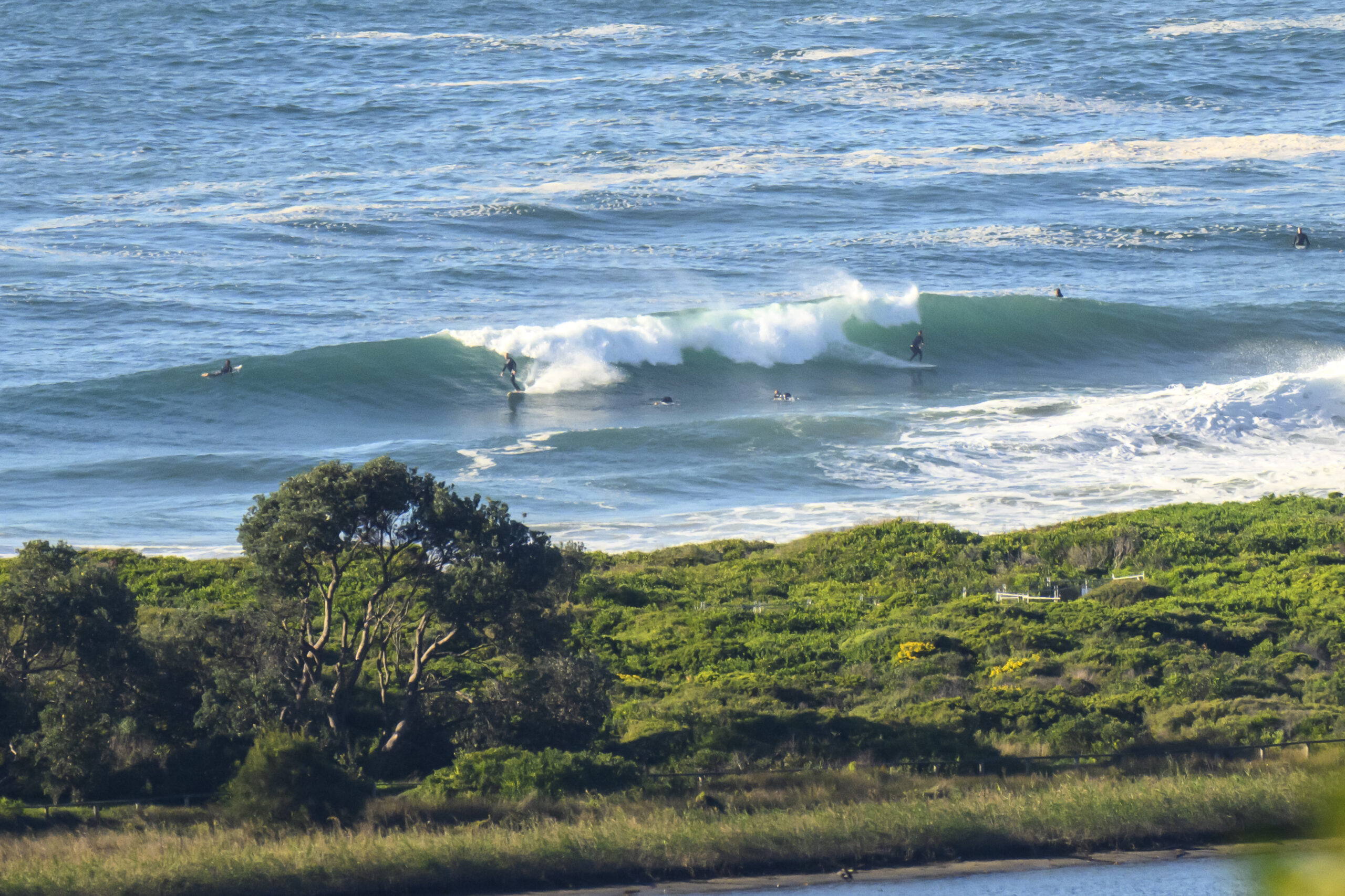
Swell was inbound as I wrote this, but judging from the foam off to the east of the point at Dee Why, there are probably a few forerunner sets around the joint. The Bureau says the swell will be out of the east at a couple metres for the next 48+ hours. At 0400 the MHL swell spectra chart was showing all the energy coming from the SE, but up north at Byron it’s dead east with an average period of nearly 13 seconds. Bet the Pass and Broken are pretty fun…
Tide is dropping until just ahead of the end of the world at about 1000.
Annoying about the wind forecast which is currently 10-15 kts SE swinging E-NE late.
Outlook is for the onshores to be a factor right through the projected life of the swell. Ah well.
Get out there and enjoy!
Weather Situation
A cold front and associated southerly change is moving to the northern coast tonight, where it is expected to weaken and stall during Friday. Following the front a high pressure system is expected to drift across southeast Austral during Friday, reaching the Tasman Sea during Saturday. This high will direct east to northeasterly winds along the New South Wales coast through the weekend, with the next significant southerly change expected early in the new week.
Forecast for Friday until midnight
Winds
Southeasterly 10 to 15 knots turning east to northeasterly in the evening.
Seas
Below 1 metre.
Swell
Easterly 2 metres.
Weather
Large swells breaking dangerously close inshore.
Saturday 22 December
Winds
East to northeasterly about 10 knots increasing to 10 to 15 knots in the afternoon.
Seas
Below 1 metre.
Swell
Easterly 2 metres.
Weather
Large swells breaking dangerously close inshore.
Sunday 23 December
Winds
Northeasterly 10 to 15 knots increasing to 15 to 20 knots during the day.
Seas
Up to 1.5 metres.
Swell
Easterly about 2 metres decreasing to 1 metre during the evening.
Weather
Large swells breaking dangerously close inshore.


