Hello Friends,
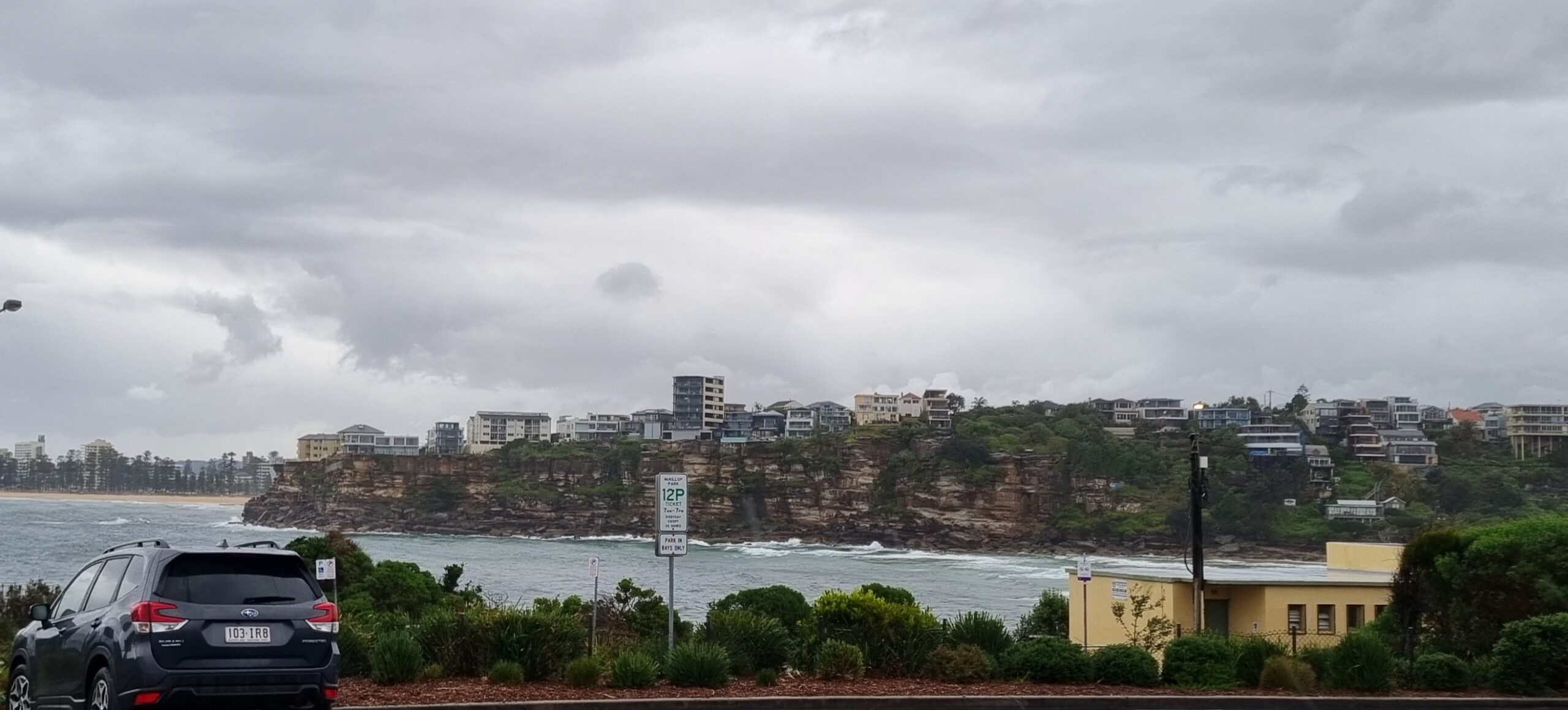
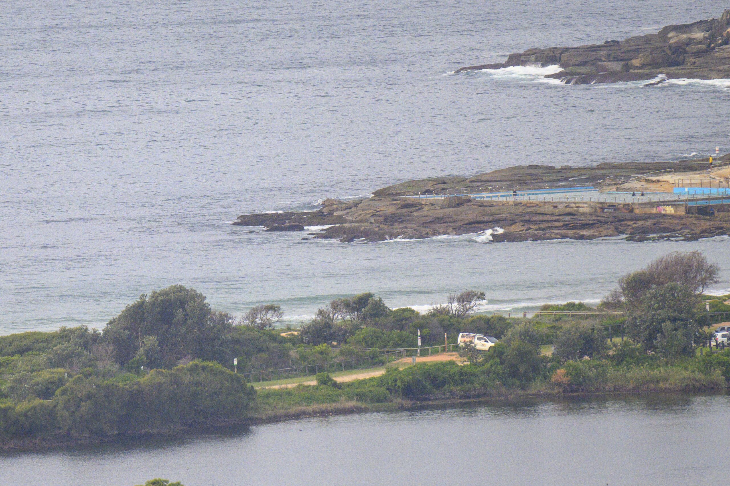
Had a look at the WRL cam this morning and I can see there’s not much going on at beaches without south exposure. There is some 1.5 metre SE swell in the mix, so I suppose there might be a few weak little things here and there. Wind is set to be a dribbly SE all day.
Ah well… here’s hoping that TC Freda follows the track being shown on the models. If it does happen to go the way the current projections show, we could get something interesting in about a week. Of course cyclones are famous for their unpredictability, so any projections this far out obviously have to be taken with a large grain of salt.
Go well!
Weather Situation
A trough and associated southerly change has moved through the far north coast as a high south of the Bight extends a ridge over Victoria and northward along the NSW coast. A relatively weak cold front is crossing Tasmania and moving into the southern Tasman Sea. The high will move further east on Sunday and Monday as a trough reaches the south coast on Monday.
Forecast for Sunday until midnight
Winds
Southeasterly 10 to 15 knots tending east to northeasterly late in the day.
Seas
Below 1 metre.
Swell
Southeasterly about 1 metre.
Monday 31 December
Winds
Northeasterly 10 to 15 knots turning northerly 20 to 25 knots during the day.
Seas
Below 1 metre increasing to 1.5 to 2 metres during the morning.
Swell
Southerly about 1.5 metres.
Tuesday 1 January
Winds
Northerly 15 to 25 knots tending northeast to southeasterly 10 to 15 knots during the day then tending north to northeasterly 15 to 20 knots during the evening.
Seas
Up to 2 metres.
Swell
Southeasterly 1 metre tending northeasterly about 1.5 metres from the morning.
Please be aware
Wind gusts can be 40 percent stronger than the averages given here, and maximum waves may be up to twice the height.
Nearby Coastal Waters


