Hello Friends,
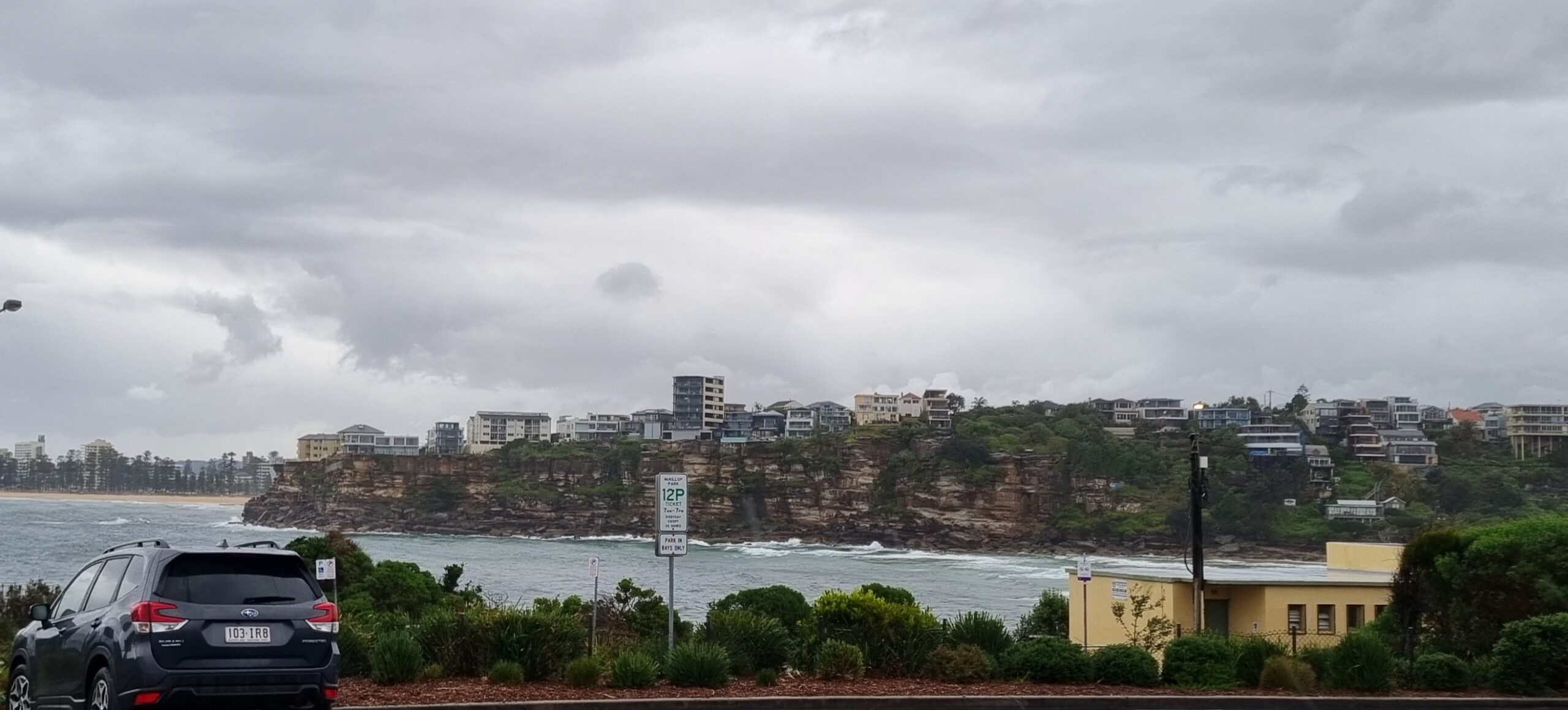
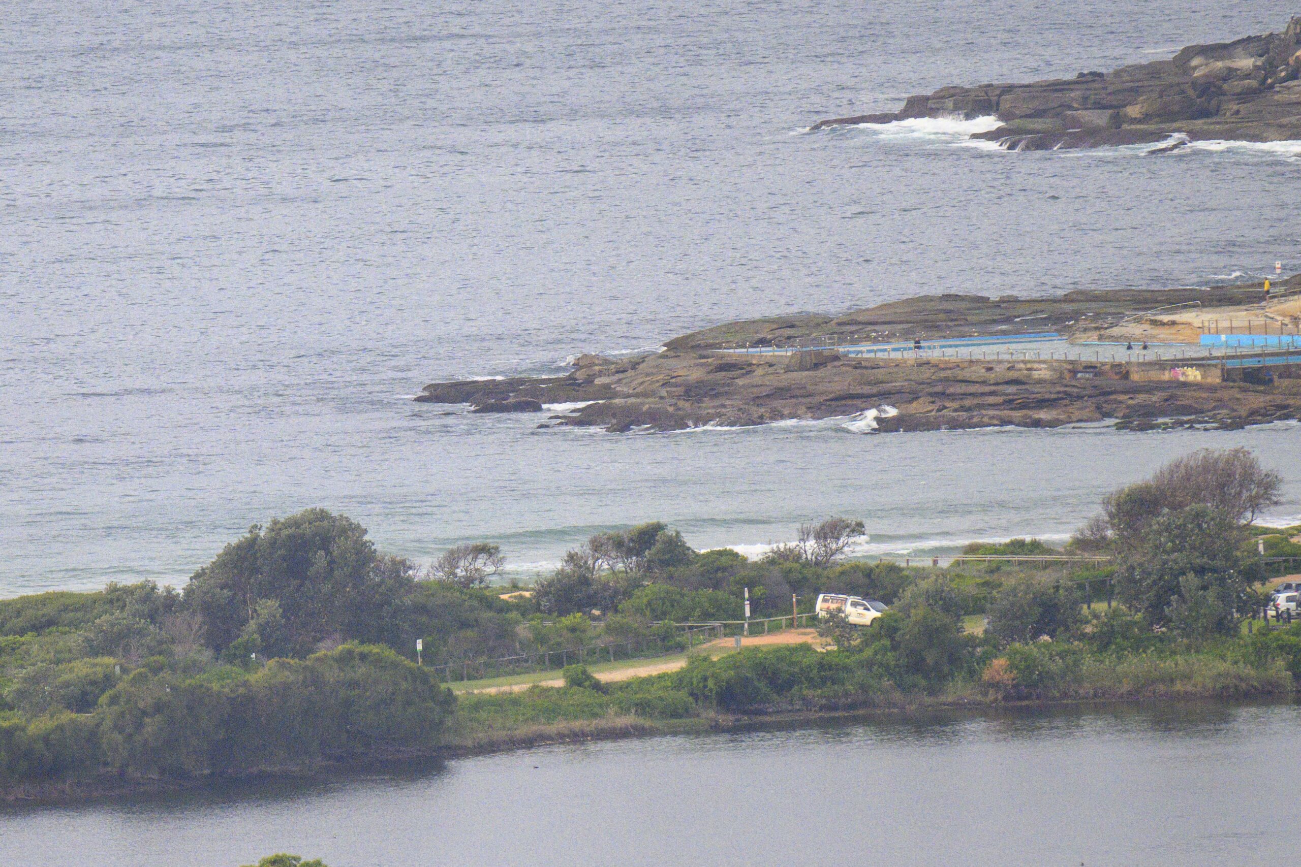
Back in Sydney again, but like everyone else, I’m asking “where’s the waves??” MHL’s directional spectra model is showing a faint blue crescent from the south around to the east and that says to me that wherever you look, it’ll be much the same wavewise. Since the wind is going to be out of the NE all day, that pretty much means the usual summer suspects. At Dee Why there were knee high sets dribbling in every now and then along the beach toward the pole. The point is not a factor.
And the models have turned all bleak following the Freda no-show. A week ago it looked as though we’d be laughing from about today onward. But no… now they’re showing pretty much nothin’ for our part of the world across the next week. If you want a wave, I’d head up toward the border because if we see anything much above waist high we’ll be doing better than the modelling seems to suggest.
Keep on smilin’, it’ll come good again one day!
Weather Situation
A high in the Tasman Sea will move only slowly over the next few days with an associated ridge strengthening along the NSW coast. Winds will turn mostly east to northeasterly along the coast from Friday onwards, briefly interrupted by a weak southerly change on the south coast over the weekend.
Forecast for Friday until midnight
Winds
North to northeasterly below 10 knots, increasing to 15 to 20 knots in the late afternoon.
Seas
Below 1 metre increasing to 1.5 to 2 metres by early evening.
Swell
Southerly 1.5 metres tending easterly about 1 metre from midday.
Saturday 5 January
Winds
Northeasterly 15 to 20 knots.
Seas
1 to 2 metres.
Swell
Easterly about 1.5 metres.
Sunday 6 January
Winds
Northeasterly 10 to 15 knots turning east to southeasterly 10 knots during the morning.
Seas
1 to 1.5 metres decreasing to below 1 metre during the morning.
Swell
Easterly 1.5 metres.


