Hello Friends,
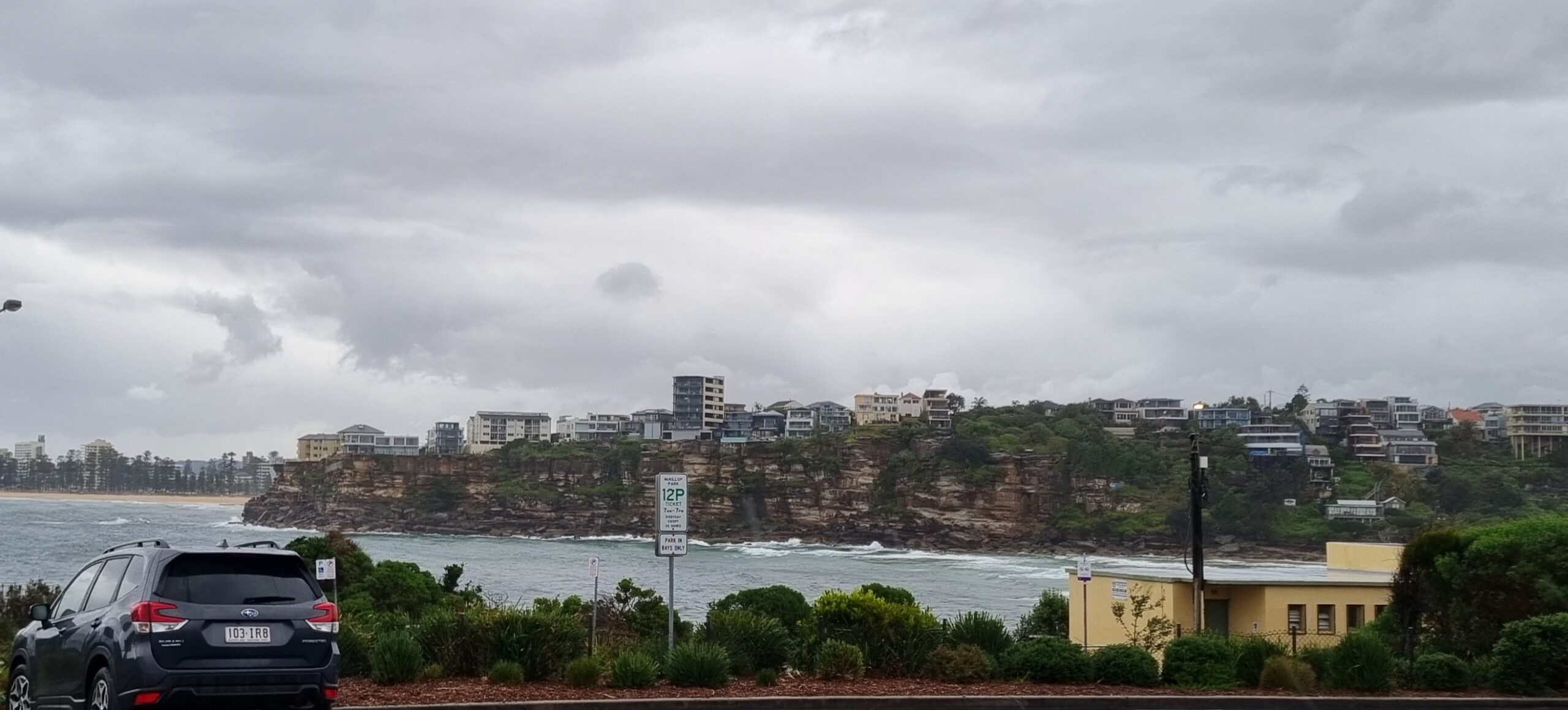
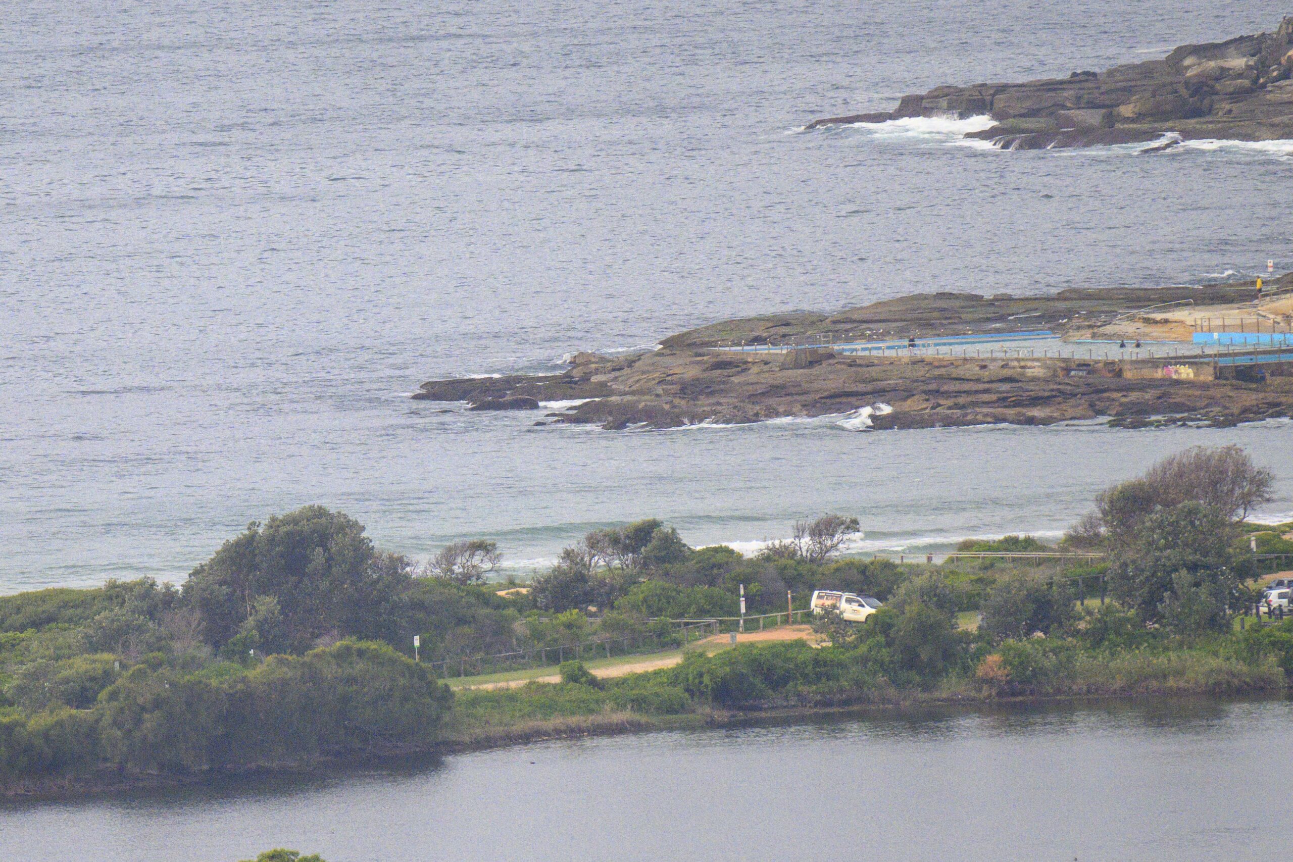
Light SE wind and 1.4 metres of south swell at nearly 10 sec apart. Could be something at onshore spots, but if you’re looking at a semi-protected stretch like the Collaroy-south Narrabeen zone, there’s just about nothin’ going on.
The weather radar is showing some light precipitation headed Sydney’s way later.
Looks pretty sad for today, but maybe tomorrow, if the wind goes around to the NE, there might be something worth the effort in a north corner…
Go well one and all!
Weather Situation
A weak trough lies over western New South Wales, and another off the northern coast, while a high over the southern Tasman Sea extends a ridge into the state’s southeast. This high will move slowly east over the coming days, with winds gradually turning northeasterly along much of the coast by Monday. A cold front passing to the south during Tuesday looks like bringing a brief southerly change across southern and central parts, before the next high becomes established over the Tasman Sea later in the week and winds become northerly once again.
Forecast for Sunday until midnight
Winds
South to southeasterly 10 to 15 knots becoming easterly 10 to 15 knots in the evening.
Seas
Below 1 metre.
Swell
Southerly 1.5 metres.
Monday 21 January
Winds
Easterly 10 to 15 knots turning northeasterly 15 to 20 knots in the late morning.
Seas
Below 1 metre increasing to 1 to 1.5 metres during the afternoon.
Swell
Southeasterly about 1.5 metres.
Tuesday 22 January
Winds
Northeasterly 15 to 20 knots.
Seas
Up to 1.5 metres.
Swell
Easterly about 1.5 metres.
Weather
The chance of thunderstorms.
Postcard from Cali: waiting for the swell to arrive… it’s supposed to be 20 foot at Maverick’s 500km north from here tomorrow, but we’re all hoping for a few scraps to make their way south…


