Hello Friends,
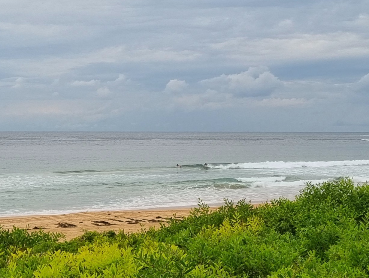
At 0500 the breeze was lightly out of the NNW and a tiny 1 metre, 8 second period wind swell was lapping at the MHL Sydney buoy. The wind should turn NE’ly and push up through the day to be around 15-20 kts in the afternoon. Not a recipe for fine surfing conditions. Indeed, I’d be surprised if there was much more than a knee high bump showing at NE spots.
It’s looking interesting for the long weekend still, although the picture is a bit mixed as at least one of the models is predicting a couple of swells to be in play at the same time (from the south and from the east). One way or another, there should be a fair amount of energy around from tomorrow-ish through to next weekend (when yours truly returns to Sydney).
Have yourself a good one!
Weather Situation
A strengthening high over the southern Tasman Sea directs humid east to northeasterly winds across the region. A trough, currently over South Australia, will move into western parts of the state during Friday and reach the southern coast on Saturday before decaying. Meanwhile, a tropical low is slowly moving along the Queensland coast towards New South Wales, and is expected to generate strong to gale force winds about northern coastal areas late on the weekend.
Forecast for Friday until midnight
Winds
Northeasterly 10 to 15 knots, increasing to 20 to 25 knots in the late evening.
Seas
Below 1 metre increasing to 1 to 1.5 metres by early evening then increasing to 1.5 to 2 metres later in the evening.
Swell
Easterly 1 metre.
Weather
The chance of thunderstorms offshore this morning.
Saturday 26 January
Winds
Northeasterly 15 to 20 knots.
Seas
1 to 2 metres.
Swell
Easterly 1 metre.
Weather
The chance of thunderstorms during the evening.
Sunday 27 January
Winds
Northeasterly 15 to 25 knots.
Seas
Up to 2 metres.
Swell
Easterly 2 to 3 metres.
Weather
Isolated thunderstorms.

