Hello Friends,
A sunny day coming up for Sydney with a summery high of around 27. Wind’ll be kicking up during the morning and building to 20-25 kts from the NE.
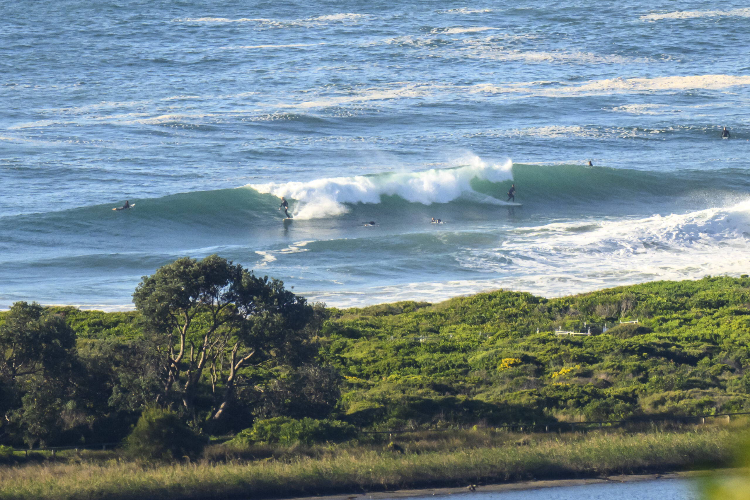
Dee Why beach was showing the very occasional waist high set a little before 0800. I expect that to continue as the tide drops and the wind picks up. By the time we get to the low at 1300, my hunch is that there won’t be too many surf options around the place, so go now or save it for the late. If yesterday is any guide, there could be some weak but up to shoulder high slop burgers at NE wind swell spots. Of course the wind’ll be a major factor.
I’m not seeing anything of interest in this morning’s swell models for Sydney. Again, looks as though we’ll be playing in lightweight wind swell for at least the next week.
Go well!
Weather Situation
A slow-moving high pressure system over the southern Tasman Sea extends a ridge to the northern New South Wales coast. A low pressure trough is expected to bring a southerly change to the southern half of the coast on Sunday.
Forecast for Thursday until midnight
Winds
Northeasterly 10 to 15 knots, increasing to 20 to 25 knots in the late evening.
Seas
Below 1 metre increasing to 1.5 to 2 metres by early evening.
Swell
Easterly 1 metre.
Friday 8 February
Winds
North to northeasterly 15 to 25 knots.
Seas
1.5 to 2 metres.
Swell
Easterly 1 metre.
Saturday 9 February
Winds
North to northeasterly 15 to 25 knots.
Seas
1.5 to 2 metres.
Swell
Easterly 1 metre.


