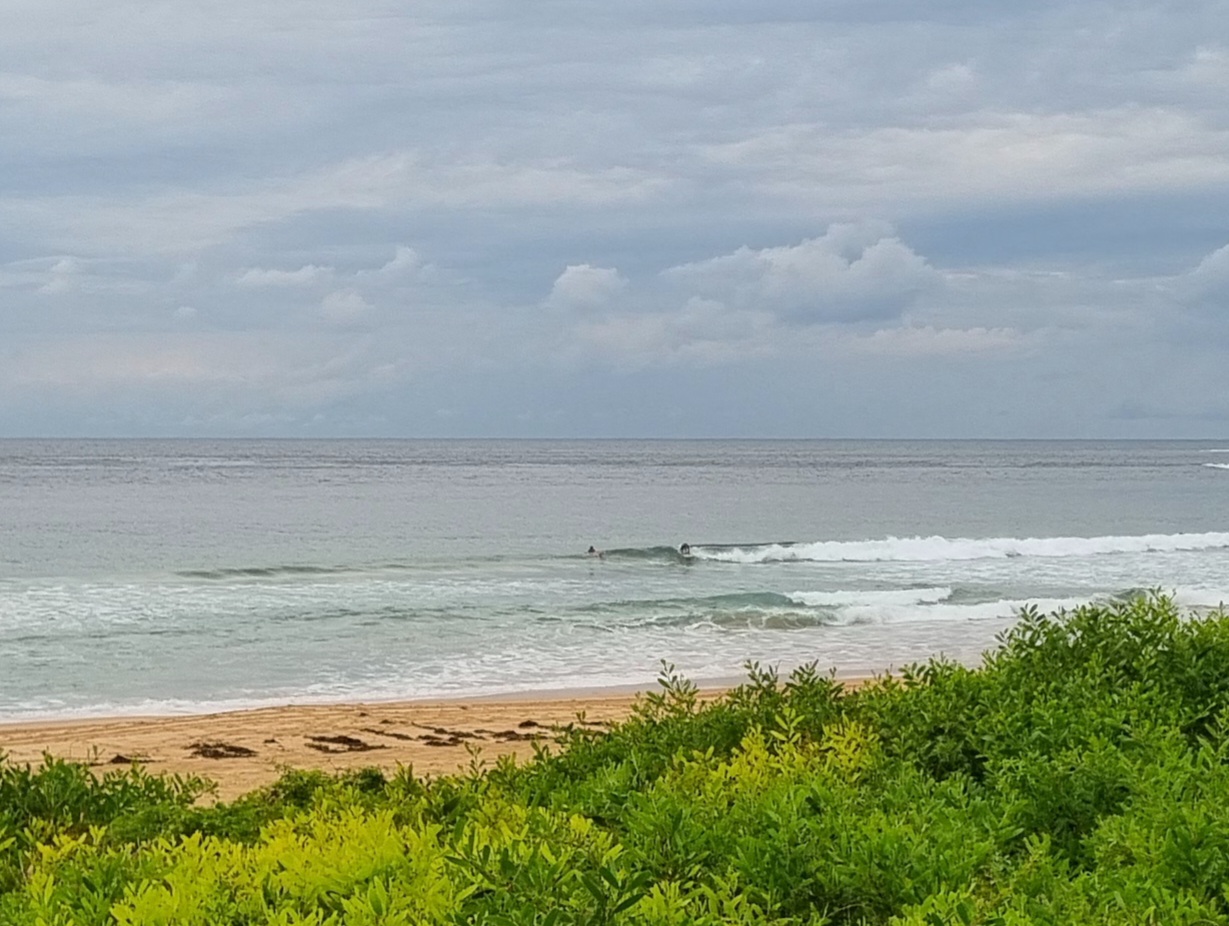
Tide was high at 0700 and the MHL buoy was reporting a touch over a metre of 6 second period NE wind chop. Skies were clear and there was a light WNW breeze.
Where Dee Why’s concerned, this all means that there wasn’t enough going on to attract more than one or two punters for the early.
This morning’s forecast models are largely in agreement that the next few days will be pretty small. Standout NE spots could have a little waist high set now and again, but that’s about it. Looking out at the furthest reaches of the forecasts, there are currently indications that we could have a long period south swell around this time next week. So, fingers crossed!
Have yourself a top old Friday!
Weather Situation
A slow-moving high pressure system over the southern Tasman Sea extends a ridge to the northern New South Wales coast. A low pressure trough is expected to bring a southerly change to the southern half of the coast on Sunday.
Forecast for Friday until midnight
Winds
Northerly 15 to 20 knots turning northeasterly 20 to 30 knots in the evening.
Seas
1.5 to 2 metres.
Swell
Easterly 1 metre.
Saturday 9 February
Winds
Northerly 20 to 30 knots turning northeasterly 20 to 25 knots during the day.
Seas
Up to 3 metres decreasing to 2 metres around midday.
Swell
Easterly about 1 metre.
Sunday 10 February
Winds
Northerly 15 to 25 knots shifting southerly 20 to 30 knots during the afternoon then decreasing to 15 to 20 knots during the evening.
Seas
2 to 3 meters.
Swell
Easterly about 1.5 metres.


