Hello Friends,
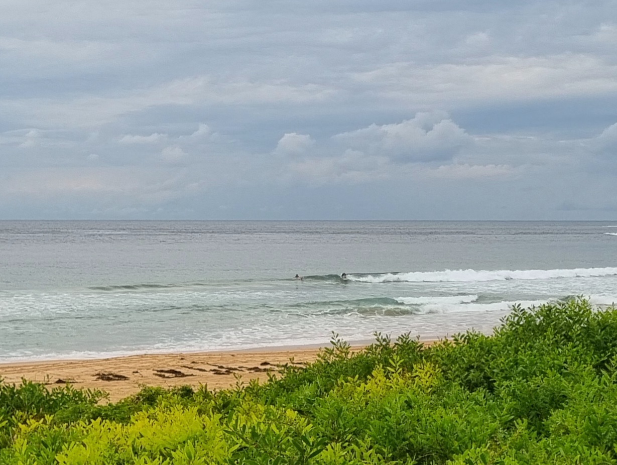
Not much happening late this morning. There are some waist plus lumps at exposed spots, so it’s not flat. Wind is of course a factor though. It’s out of the NE at about 15 kts and the Bureau says we can expect it to be up to 30 kts at exposed spots by late afternoon.
Tide was high around 0820 and is headed to a low just before 1500.
Wind swell is coming from the ENE at about 1.5 metres with an average period of a touch under 9 seconds.
I saw some waist plus sets at Dee Why this morning, so there are little waves around, but as usual under the circumstances, your biggest options will be where the wind is strongest. Tomorrow morning for the early could be a possibility as the wind should blow all night but tail off toward dawn. A SW change is expected at lunchtime, so despite the incoming tide, morning looks the best shot.
Have a top Saturday!
Weather Situation
A slow-moving high pressure system over the southern Tasman Sea extends a ridge to the northern New South Wales coast. During Sunday a low pressure trough will bring a southerly change to the southern half of the coast. The change is expected to weaken on the north coast on Monday.
Forecast for Saturday until midnight
Winds
Northerly15 to 25 knots turning northeasterly 20 to 30 knots in the afternoon.
Seas
1.5 to 2 metres increasing to 2 to 3 metres later in the evening.
Swell
Easterly about 1 metre.
Sunday 10 February
Winds
North to northeasterly 20 to 30 knots tending northwest to northeasterly 15 to 25 knots early in the morning, then southerly 20 tot 25 knots during the late morning/early afternoon.
Seas
Up to 3 metres decreasing below 2 metres during the morning.
Swell
Easterly 0.5 to 2 metres.
Weather
The chance of thunderstorms in the early evening.
Monday 11 February
Winds
Southerly 15 to 20 knots turning southeasterly during the morning.
Seas
1 to 2 metres.
Swell
Easterly about 1.5 metres.
Weather
Isolated thunderstorms.


