
Hello Friends,
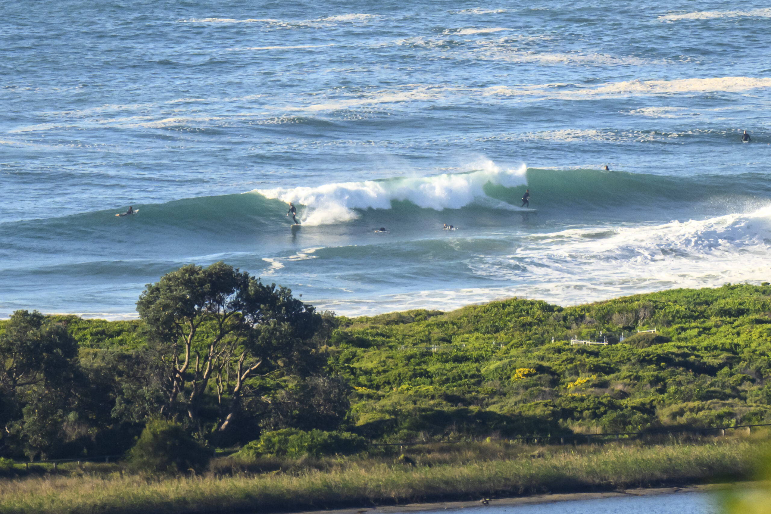
One of those mornings when you check it out, run an errand, get back and the onshore has started to do its thing. The spot in question was the stretch from Gardens to Wetherill Street. At 0800 it was smooth and glassy. An hour later when I got back with a board, it was starting to blow out. Sigh. That’s surfin’ I guess.
To put some numbers on it, the swell is coming from 130 degrees (SE) at about a metre with an average period of 9 seconds. Up north, at Byron, the swell is hitting the 4 metre mark. Should be pretty intense at the Pass and at the points on the Goldy. Lotta wind up there though…
Whether the swell gets down here to Sydney or not is a bit of a question in my mind because the low is so tight against the coast. This morning’s swell modelling shows our situation remaining much the same through tomorrow but then on Friday the east energy should start to make itself known. The peak is set for Saturday when we may see 3-5 metres at exposed spots. Unfortunately, the wind forecast is not good. Basically the call is for unrelenting and strong E-SE wind through the weekend.
So, not too sure if I’ll be getting a chance to go shooting…
Tide is high around noon today and will be back to low again about 545pm.
Have yourself a good one!

Clean, fun looking at 0800
Weather Situation
A strong high pressure system near New Zealand extends a ridge towards the New South Wales coast, and is bringing east to northeasterly winds. A weak trough which has brought a southerly change to the southern coast overnight will dissipate over central parts. Meanwhile, a deep near-stationary low has developed within a trough off the Queensland coast, and is forecast to move towards NSW on Thursday and Friday. This low is expected to continue to generate heavy rain, vigorous winds and large seas in the north.
Forecast for Wednesday until midnight
Winds
Easterly about 10 knots tending southeasterly 10 to 15 knots early in the morning.
Seas
Below 1 metre.
Swell
Northeasterly 2 metres.
Weather
The chance of thunderstorms.
Thursday 21 February
Winds
East to southeasterly 10 to 15 knots, increasing to 20 to 25 knots in the late evening.
Seas
1 to 1.5 metres increasing to 1.5 to 2 metres later in the evening.
Swell
Easterly about 2 metres.
Weather
The chance of thunderstorms.
Friday 22 February
Winds
Easterly 15 to 20 knots, increasing to 25 to 35 knots during the evening.
Seas
1.5 to 2 metres increasing to 2 to 3 metres during the evening.
Swell
Southeasterly about 1.5 metres decreasing to 0.5 metres during the evening.
Weather
The chance of thunderstorms.

