Hello Friends,
You wouldn’t want to bother with a wave today. There’s a heap of east swell, but the wind is blasting onshore from the ESE and is only expected to pick up later. Throw in the odd raging squall and torrential downpour and you have a recipe for playing inside all day.
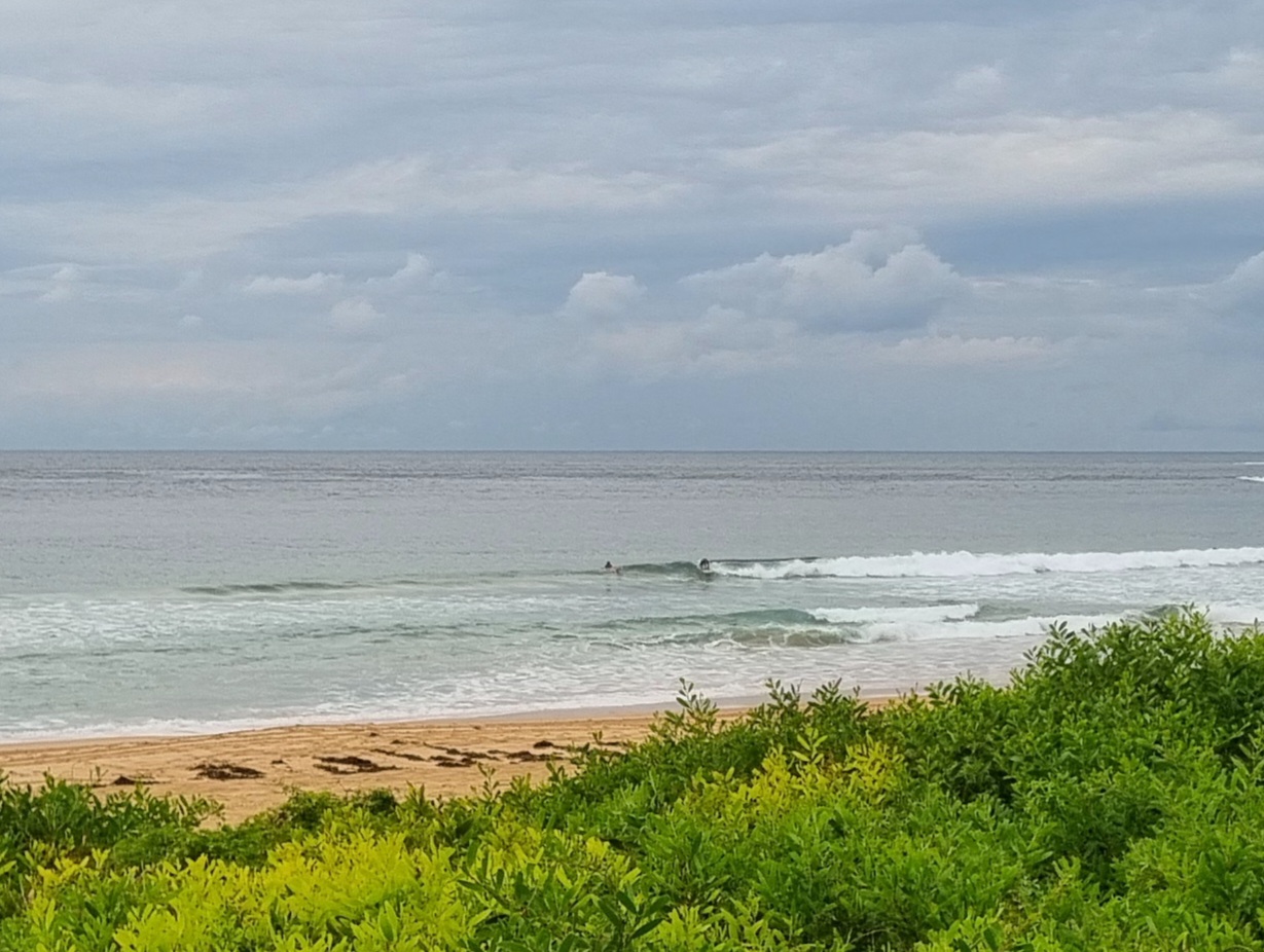
As the picture from south Narrabeen/north Collaroy shows, it was seriously big this morning at high tide. Fortunately for the houses along the beach front, a long, tiny summer has resulted in lots of sand between the buildings and the water. Even so, I’d be surprised if there wasn’t some level of coastal erosion as a result of this activity. Maybe it’ll cut us some gutters and set up a few banks for the coming autumn surf season…
Outlook for tomorrow is not too fab. The wind is set to stay very strong but to shift around to the NE. So, maybe, just maybe there’ll be something in the most protected north corners. But I wouldn’t be getting too hopeful.
This morning’s run of the forecast models are pointing to a mostly onshore week, but, with the possibility of a nice, solid SE pulse and favourable winds for late Thursday to Friday. A little taste of autumn I hope!
Have a good Saturday and stay safe and dry!
Weather Situation
A deep low pressure system over the far northeastern NSW is moving southwest. This system will bring vigorous gusty winds to the coast today, extending southwards during Saturday while easing in the north. As the low moves inland on Sunday a high pressure system near New Zealand will extend a ridge to the NSW coast.
Forecast for Saturday until midnight
Winds
Easterly 30 to 35 knots, increasing to 35 to 45 knots in the late evening.
Seas
4 metres.
Swell
Easterly 3 to 4 metres.
Weather
The chance of thunderstorms. Large swells breaking dangerously close inshore.
Sunday 24 February
Winds
Northeasterly 35 to 45 knots decreasing to 25 to 30 knots early in the morning then decreasing to 20 to 25 knots in the late evening.
Seas
4 to 5 metres decreasing to 3 metres during the morning.
Swell
Easterly 3 metres decreasing to 2 metres during the evening.
Weather
Isolated thunderstorms offshore early in the morning. Large swells breaking dangerously close inshore in the morning.
Monday 25 February
Winds
Northeasterly 20 to 30 knots.
Seas
2 to 3 metres.
Swell
Northeasterly about 2 metres.
Please be aware
Wind gusts can be 40 percent stronger than the averages given here, and maximum waves may be up to twice the height.
Nearby Coastal Waters
This forecast is also available via scheduled broadcasts on marine radio.
Northern Coastal Waters Forecasts (PDF)
Central Coastal Waters Forecasts (PDF)
Southern Coastal Waters Forecasts (PDF)
The next routine forecast will be issued at 4:05 pm EDT Saturday.
Product IDN11009

