Hello Friends,
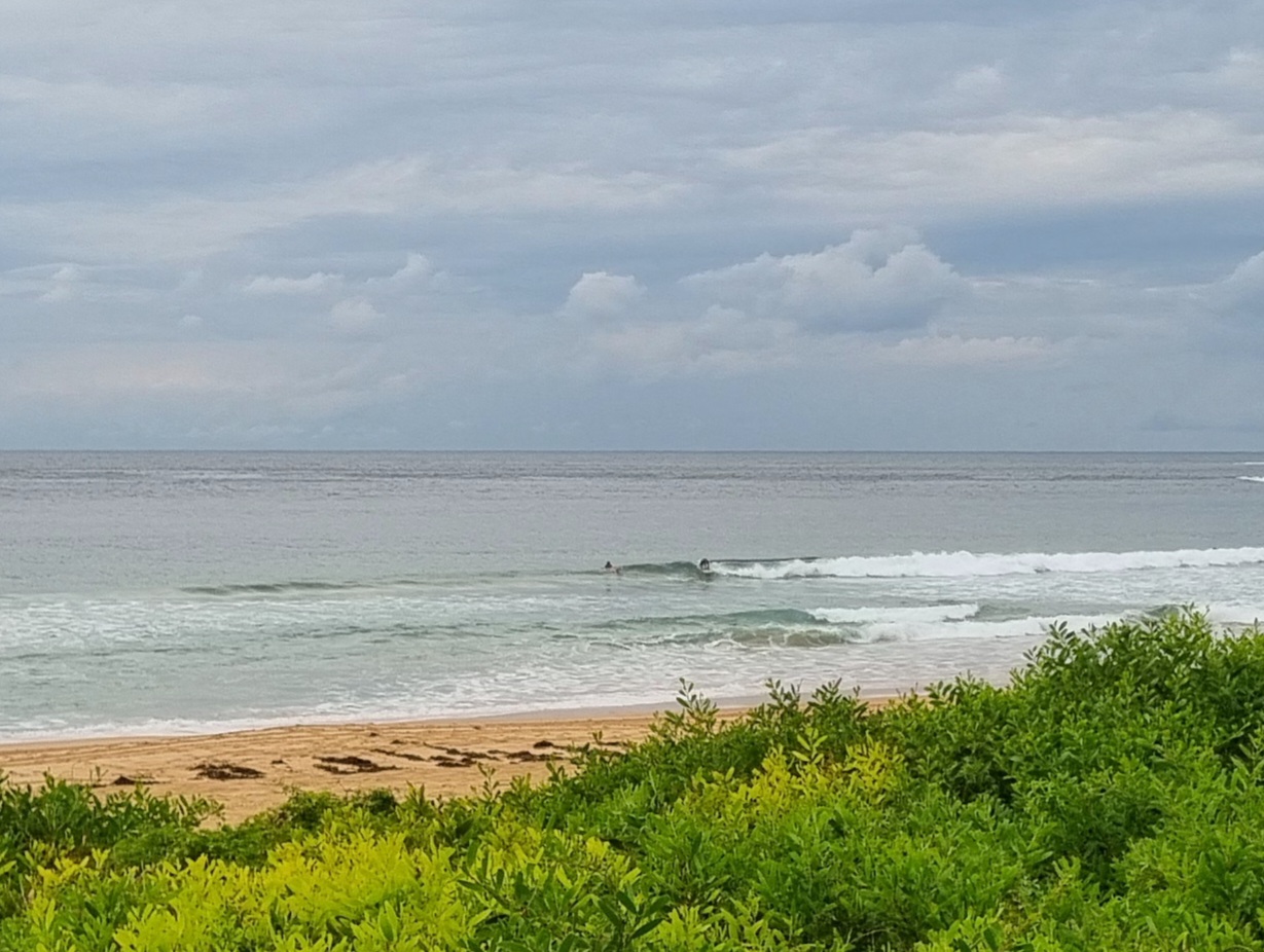
Nup. As you suspected, it’s not a morning for surfing in Sydney. Rain bucketed down last night so the water looks horrible. The wind’s pushing along at 20-30 kts from the SE, so even the protected corners are getting smashed. And the swell, while big enough, is really just messy, stormy, short period wind swell (average period is around 7 seconds)
A day for getting other things done methinks.
Outlook is not good either. SE wind and all the evil that brings with it, right through to the middle of next week from the look of the latest forecasts.
H @1125, L @1740
Weather Situation
A slow-moving trough lies near the Hunter and Mid North Coasts, while a high pressure system south of Adelaide extends a ridge into the southern New South Wales coast. The trough is expected to linger over the north today, weakening during Saturday as the high becomes dominant. This high will drift slowly east over the following few days, maintaining an onshore airstream across most of the coast.
Forecast for Friday until midnight
Winds
South to southeasterly 20 to 30 knots.
Seas
2 to 3 metres.
Swell
Easterly about 2 metres.
Weather
Large swells breaking dangerously close inshore.
Saturday 2 March
Winds
Southeasterly 25 to 40 knots decreasing to 20 to 25 knots in the early afternoon.
Seas
Up to 4 metres decreasing to 3 metres during the afternoon then decreasing to 2 metres by early evening.
Swell
Easterly about 2 metres.
Sunday 3 March
Winds
Southeasterly 15 to 20 knots.
Seas
1 to 2 metres.
Swell
Southeasterly 2 metres.

