Hello Friends,
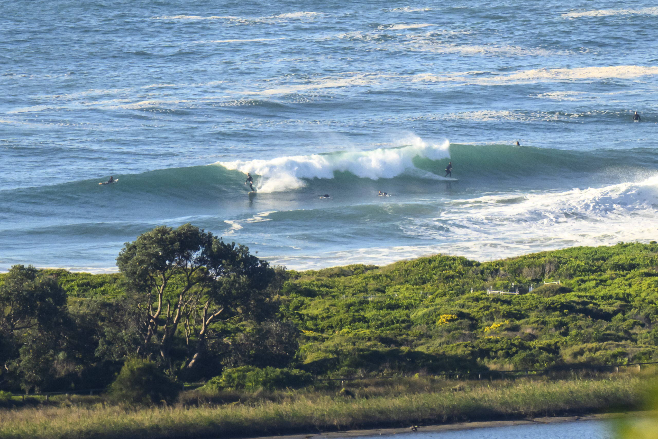
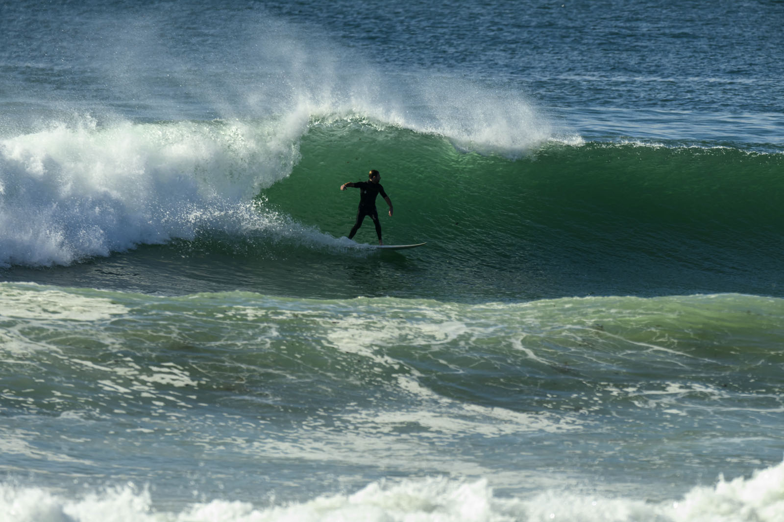
20-25 kts of SE wind pretty much says it all. Never mind that we also have 3.5 metres of SSE swell at 10 seconds apart. Unless you’re tucked right into a very protected corner, there’s no hope of a wave. As the picture shows, Dee Why point is ripped to bits. And that will be the story pretty much everywhere I’m afraid.
The outlook remains for lots of wind from unhelpful directions for the coming week. But, the latest forecast maps are showing a fair amount of activity, so I’m hopeful that once this windy regime breaks down, it won’t go flat on us. But it could be another 7-10 days at least…
Ah well, have a fun Sunday anyway!
Next tide is a high at 1310.
Weather Situation
A high pressure system centred near Tasmania extends a broad ridge over New South Wales. The high will remain slow moving in the southern Tasman Sea over the following few days, maintaining a humid onshore airstream across most of the state.
Forecast for Sunday until midnight
Winds
Southeasterly 20 to 25 knots tending easterly 15 to 20 knots in the late evening.
Seas
1.5 to 2 metres.
Swell
Southeasterly 2 to 3 metres.
Weather
Large swells breaking dangerously close inshore in the morning.
Monday 4 March
Winds
Easterly 15 to 20 knots.
Seas
1 to 2 metres.
Swell
Southeasterly 1.5 metres.
Tuesday 5 March
Winds
Easterly 15 to 20 knots.
Seas
1 to 1.5 metres.
Swell
Easterly 1.5 metres.


