
Hello Friends,
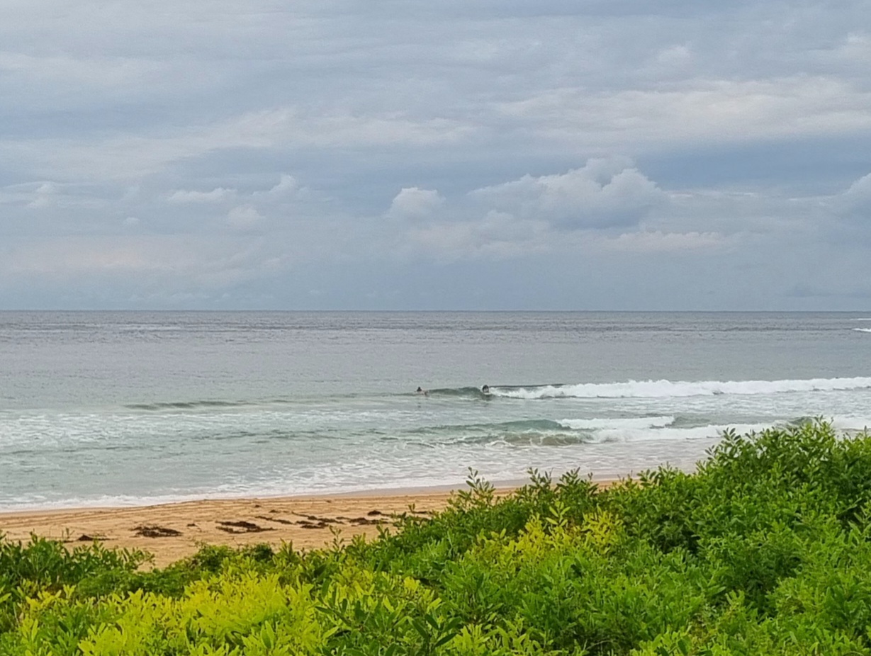
Mix of east and south swell this morning under gloomy skies. The surface is a bit chopped up but since it’s coming from the SSW at 15-20 kts, the bump wasn’t that bad at Dee Why this morning.
The wind will probably go more around to the south as we head toward noon. Tide hits high around 1130 and then will be back to the low at 1630. Protected south corners should be the go as the swell is supposed to steadily increase. At 0800, the sets were getting to around chest high at the point. They seemed to be a bit smaller at the beach, but I only sussed it out for a few minutes today, so your mileage may vary.
I’m really liking the look of tomorrow. Should be solid east swell with mostly clear skies and light winds early, plus an incoming tide…
Keep on smilin’!
Weather Situation
Tropical Cyclone Sandra over the central Tasman Sea is expected to weaken and move to the southeast. A high pressure system south of WA extends a ridge across the Bight to the NSW coast. Winds will tend northeast on Saturday before a cold front and strong southerly change extends north late Saturday and Sunday.
Forecast for Friday until midnight
Winds
Southerly 15 to 20 knots.
Seas
1 to 1.5 metres.
Swell
Easterly 1.5 to 3 metres.
Weather
The chance of thunderstorms this morning, mainly offshore.
Weather
Large swells breaking dangerously close inshore.
Saturday 16 March
Winds
Southerly 10 to 15 knots becoming variable about 10 knots before dawn then becoming northeasterly 10 to 15 knots in the late afternoon.
Seas
Below 1 metre.
Swell
Easterly 1.5 to 3 metres.
Weather
Large swells breaking dangerously close inshore in the morning.
Sunday 17 March
Winds
Southerly 15 to 20 knots, increasing to 25 to 30 knots during the morning.
Seas
Up to 3 metres.
Swell
Easterly 1.5 metres.
Weather
The chance of thunderstorms during the morning.

