

Hello Friends,
Swell was around 3 metres from the ESE at 11 seconds apart as the morning got started. We’re headed to a high tide at around 1130, so it’s going to fill in pretty rapidly. By the time the tide turns and starts dropping enough to improve things, the early morning offshores will have given way to a summery 15-20kts of NE wind.
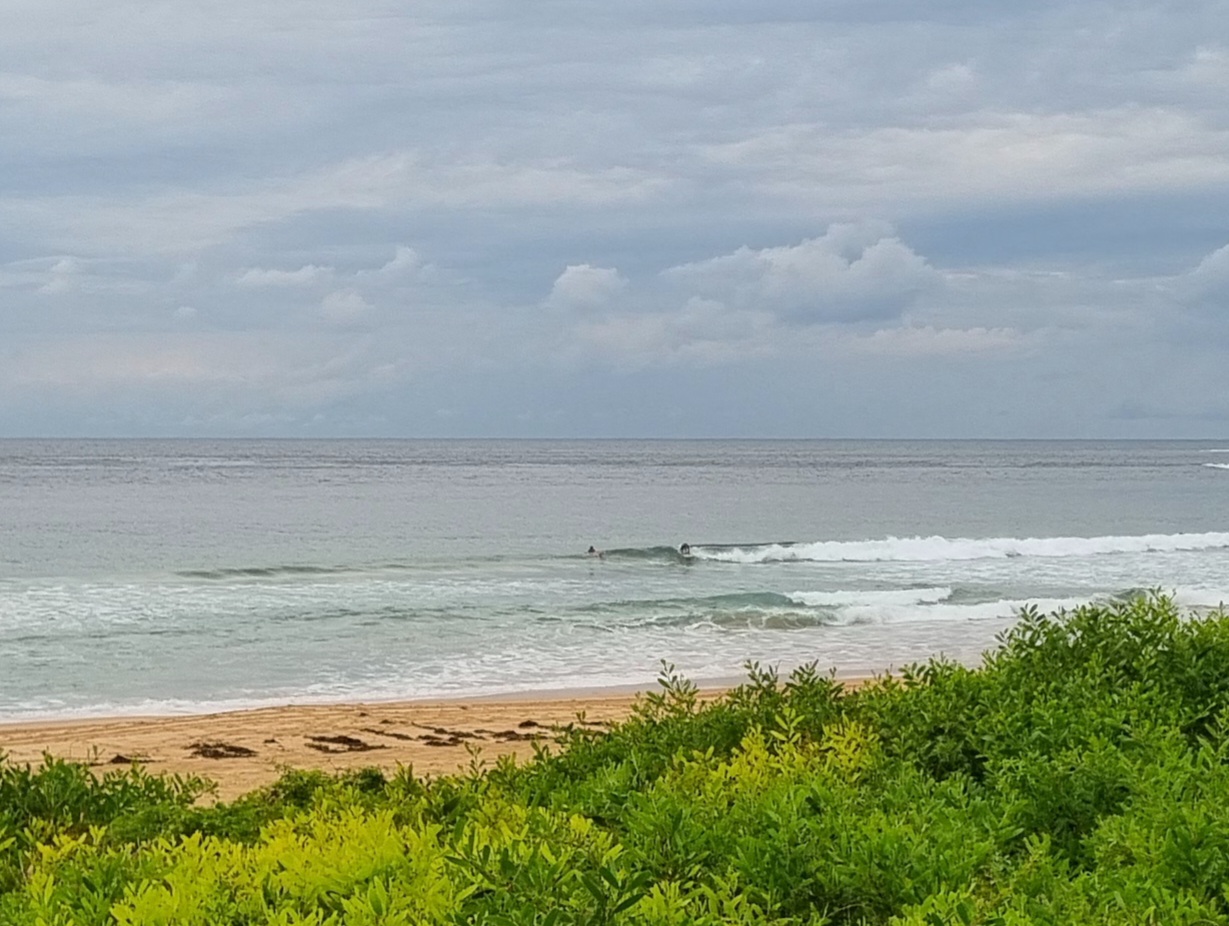
When I checked it for the first time this morning at about 0645, Dee Why point and the beach were empty. It has to be said that the banks are in a state at the moment and there seemed to be a big messy rip running out near the point. So, despite the excellent set of numbers, it’s probably not going to be the best spot around. Up at Collaroy, there were heaps of people in the water chasing chest to shoulder plus sets. Seemed a bit inconsistent to me, but the waves were pretty approachable as compared to the Dee Why-Long Reef stretch and the far north Collaroy to Narrabeen zone. Speaking of which, there were only a couple people out in the vicinity of about Wetherill street. Other than that, I couldn’t see any takers from there north. Not too surprising given that the swell is really feeling its oats along that stretch and just paddling out would be an accomplishment. Some beautiful big walls, but heaps of board-snapping potential in the bombs.
Outlook is for the wind to switch back to the southerly quarters for tomorrow and for the swell to decline pretty rapidly off this morning’s peak. South spots might still have a reasonable size wave through to about Monday arvo from the look of the modelling, but the wind will be pretty strong until around midweek when, sadly, it seems we can expect it to fade to flat.
Know your limits this morning, and have yourself a top Saturday!
Tides: H @1130, L @1730
Weather Situation
Ex tropical Cyclone Sandra over the central Tasman Sea is slowly moving south southeast and weakening. A cold front will bring gusty southerly change New South Wales south coast Saturday afternoon extending to the central coast early Sunday morning and to the far north coast in the afternoon. On Monday a high pressure system will move southeast of the Bight extending a ridge to the north coast behind the front.
Forecast for Saturday until midnight
Winds
North to northwesterly about 10 knots tending northeasterly 15 to 20 knots in the early afternoon then tending northerly in the late evening.
Seas
Below 1 metre increasing to 1 to 1.5 metres later in the evening.
Swell
Easterly about 2 metres.
Weather
Large swells breaking dangerously close inshore.
Sunday 17 March
Winds
South to southwesterly 20 to 30 knots increasing to 30 to 35 knots in the morning then becoming southerly 25 to 30 knots in the early afternoon.
Seas
Up to 3 metres increasing to 3 to 4 metres around midday.
Swell
Southeasterly up to 3 metres.
Weather
The chance of thunderstorms offshore during the morning.
Monday 18 March
Winds
Southerly 25 to 30 knots, decreasing below 10 knots during the evening.
Seas
Up to 3 metres decreasing below 1.5 metres during the afternoon.
Swell
Southeasterly 2 to 3 metres.

