Hello Friends,
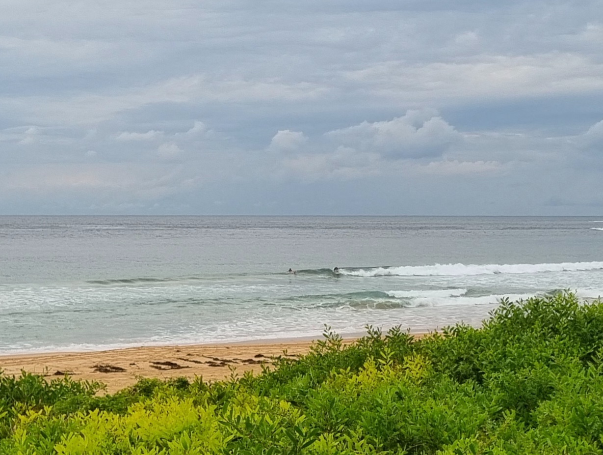
Swell on the fade, but this morning saw some really fun looking peaks along the Dee Why stretch. Energy is mainly coming from the SE at 9 seconds apart. It’s averaging about 1.5 metres out at sea, but on the beach there were chest plus peaks showing. Not much wind about early, but the Bureau says it’ll be lightly from the s to se later. So, if you don’t mind a bit of sideshore, there could be waves into the late morning. Tide is low at around 0845 and then it’ll come in just a little to a high around 1440.
I don’t like the look of the swell models for the rest of the week. They’re basically foreshadowing a solid week of un-solid swell conditions. Marginal to flat would be a reasonable summary. Oh well. What can ya do, eh?
Have yourself a top old Tuesday one and all!
Weather Situation
A high pressure system centred near Tasmania is extending a ridge to New South Wales north coast. This high will move over the southwestern Tasman Sea on Tuesday and then it will move slowly towards New Zealand maintaining the ridge to the the northwest.
Forecast for Tuesday until midnight
Winds
South to southeasterly about 10 knots.
Seas
Below 1 metre.
Swell
Southerly about 1.5 metres.
Weather
The chance of thunderstorms this morning.
Wednesday 20 March
Winds
Easterly below 10 knots tending northeasterly 10 to 15 knots before dawn.
Seas
Below 1 metre.
Swell
Southerly about 1 metre.
Thursday 21 March
Winds
Northeasterly 10 to 15 knots turning northerly 20 to 25 knots during the day.
Seas
1 to 1.5 metres increasing to 1.5 to 2 metres during the afternoon.
Swell
Southerly 0.5 metres.

