Hello Friends,
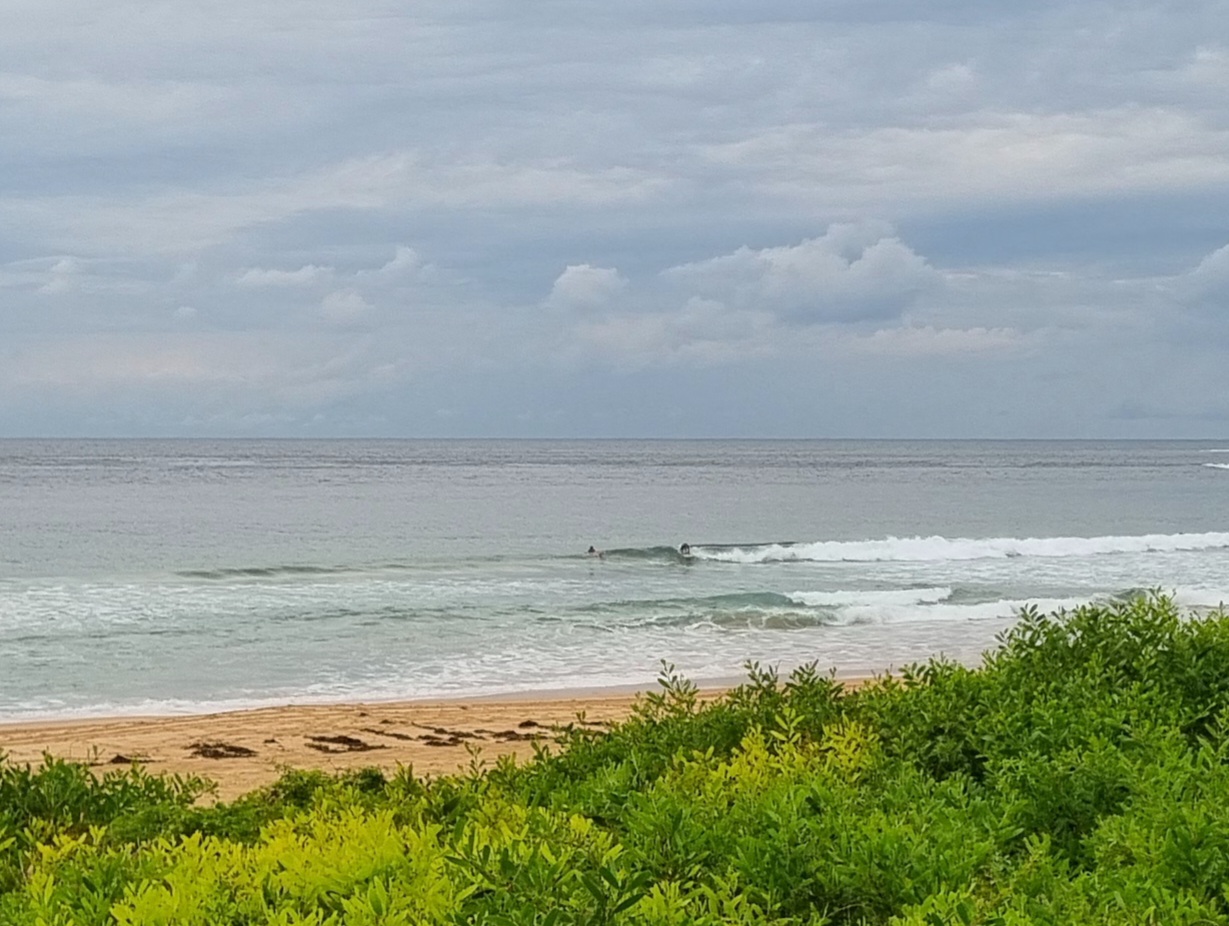
A hint of the colder months to come in the air this morning. Wind was out of the SW at 10-15 kts and there’s a couple metres of six sec period south wind swell. Being a holiday, the peaks at the Dee Why end of the beach where the wind’s more favourable are well attended. Size looks to be in the chest plus range on the bigger sets. Tide is high around 1025, so early risers are still having to deal with the fullness issue. It might possibly get a little better as the tide drops in the middle part of the day and the wind drops back a bit. The complicating factor is that the wind is set to go around to the south rather than the early SW’ly.
Outlook is for smallness across the next few days says the Goat.
Have yourself a good Friday!
Weather Situation
A gusty southerly change associated with a cold front crossing the southern Tasman Sea is moving along New South Wales north coast and weakening. Behind the change a weak high pressure ridge will develop over the western Tasman Sea on Saturday before another southerly change develops on the south coast Sunday afternoon and extending to the far far north coast Monday morning.
Forecast for Friday until midnight
Winds
Southerly 15 to 25 knots, decreasing to 10 to 15 knots in the evening.
Seas
1.5 to 2 metres decreasing to 1 metre during the afternoon.
Swell
Easterly 1.5 metres tending southeasterly 2 metres this afternoon and evening.
Saturday 30 March
Winds
Variable about 10 knots becoming north to northeasterly 10 to 15 knots in the late afternoon.
Seas
Below 1 metre.
Swell
Southerly about 2 metres tending easterly about 1.5 metres from midday.
Sunday 31 March
Winds
Northerly 10 to 15 knots shifting southerly 15 to 20 knots during the day.
Seas
Below 1 metre increasing up to 1.5 metres during the afternoon.
Swell
Easterly 1 metre.

